Mangum’s history is
mostly unwritten
The public archives hold only 4 old photos of Mangum. The rest are in attics, shoeboxes and the historical society. Help start the collection.
The story
from WikipediaRead it all ↗Beginning in 1876, the nearby Great Western Cattle Trail was used to drive cattle north from Texas to market. The community of Mangum began in 1882 when Henry Clay Sweet established it on land granted to A. S. Mangum by the state of Texas. The Mangum post office was established April 15, 1886. This part of Texas (old Greer County) was given to Oklahoma in 1896. During Mangum's early days, the community's economy largely depended on very large cattle ranches owned or leased by land companies such as the Day Land and Cattle Company of Texas and the Franklyn Land and Cattle Company, an English syndicate. The local cowboys called Mangum "Tin City" because so many tin cans were unrolled and nailed over the wooden planks that served as sidewalks.
Text from Wikipedia, licensed CC BY-SA 4.0.
Timeline
built from the dates on the items belowStart Mangum’s collection
The first neighbors to add old photos shape how Mangum’s history is told.
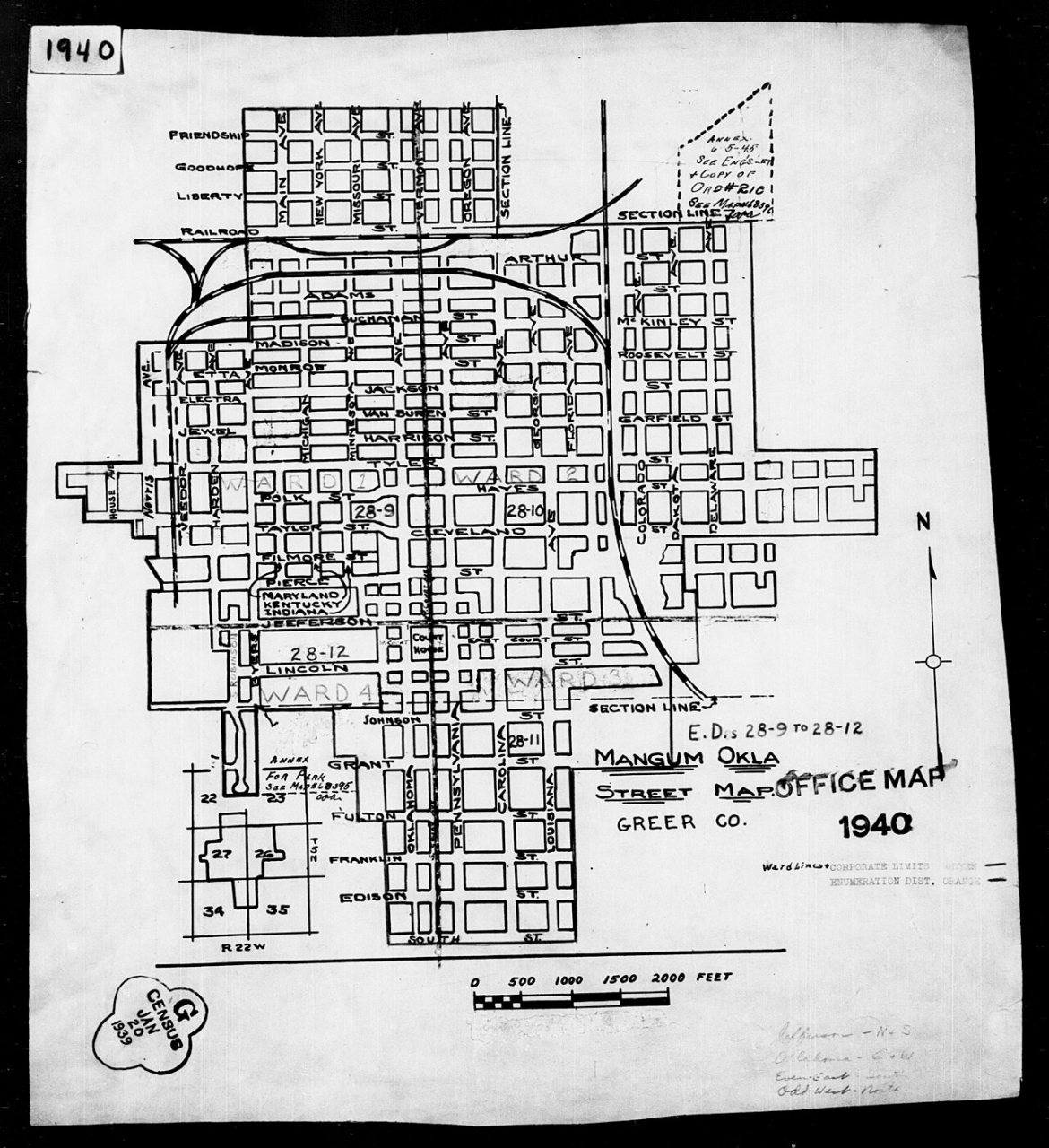
2 of 10 decades since 1900 have photos 🔁Retake an old view1940 Census Enumeration District …, 1880: stand where they stood+15 📦Share a family photoSign in to add one+10Famous people from Mangum
See all 9 →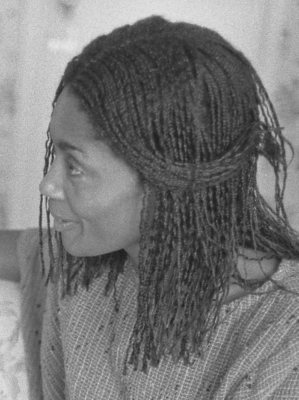
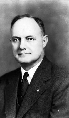

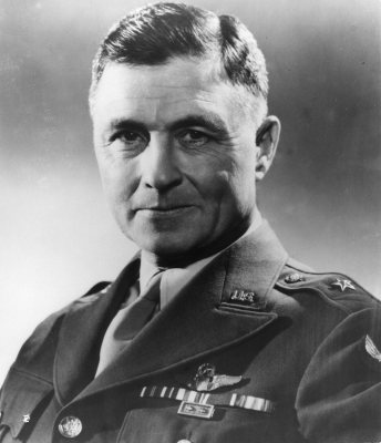
Mangum, decade by decade
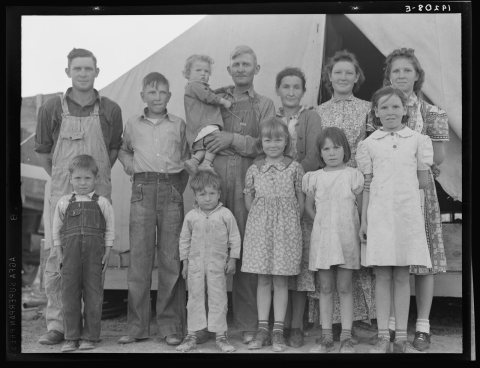
1920s
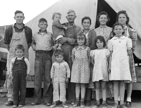
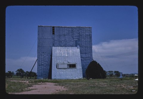
1970s
1990s
5 historic places in Mangum
Mangum has 5 listings on the National Register, and they protect 43 historic buildings, because Downtown Mangum Historic District alone counts 39.
Where they are
Architectural styles
When they were listed
 Listed 1985Greer County Courthouse
 Listed 1994Mangum Armory
 Listed 1995Mangum Community Building
 Listed 2007Hotel FranklinListed 2009Downtown Mangum Historic District
Then & now
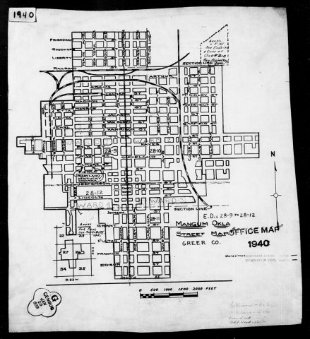
No then-and-now pairs yet. Take a photo from the same spot as 1940 Census Enumeration District Maps - Oklahoma - Greer County - Mangum - ED 28-9, ED 28-10, ED 28-11, ED 28-12 (1880) and it appears here side by side.
🔁 Retake this view · +15From Wikimedia Commons (4) and the National Register (2). Images are copied here with their credits and licenses, shown on each photo’s page. Refreshed monthly.