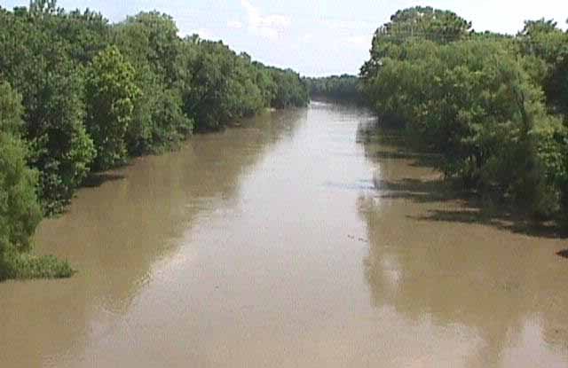
Lenapah’s history is
mostly unwritten
The public archives hold just one old photo of Lenapah. The rest are in attics, shoeboxes and the historical society. Help start the collection.
The story
from WikipediaRead it all ↗The town is primarily an agricultural community. The Kansas and Arkansas Valley Railway, now part of the Union Pacific Railroad system, established a depot at Lenapah in 1889, and a post office opened in the following year. There were 154 residents in the 1900 census, and 331 at statehood in 1907. The highest population was 434 at the 1920 census.
Oil and natural gas were discovered nearby after the start of the 20th century. Although this activity did not contribute much to the town's growth, it resulted in piping gas to Lenapah's homes and businesses.
Text from Wikipedia, licensed CC BY-SA 4.0.
Start Lenapah’s collection
The first neighbors to add old photos shape how Lenapah’s history is told.
0 of 10 decades since 1900 have photos 🗓️Date a photo1 archive item has no date+2 🔁Retake an old viewVerdigris River: stand where they stood+15 📦Share a family photoSign in to add one+10Famous people from Lenapah
See all 1 →Lenapah, decade by decade
2000
unknown1 item
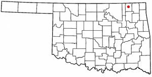
Nothing in Lenapah is on the National Register yet
That’s true of most small towns. It doesn’t mean Lenapah has no history, only that no one has written up a nomination. The closest listed place is Cemetery Patent 110 in Delaware, 6.3 miles away.
Lenapah and the nearest listed places
How a place gets listed
Then & now
No then-and-now pairs yet. Take a photo from the same spot as Verdigris River and it appears here side by side.
🔁 Retake this view · +15Stories next door
nearby towns’ historyFrom Wikimedia Commons (2). Images are copied here with their credits and licenses, shown on each photo’s page. Refreshed monthly.