The story
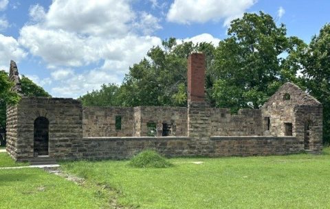
from WikipediaRead it all ↗Grayson was originally named Wildcat and was located within the area that became McIntosh County at statehood. It was named for a Muscogee chief, George W. Grayson. The name changed when Grayson's post office was established February 10, 1902, although the legal town name remained as Wildcat into the 1960s. At statehood, the town had 375 residents. It grew slightly to 411 in 1910, then began to decline.
The Encyclopedia of Oklahoma History and Culture indicates it was an “All-Black Town,” one of more than fifty identifiable towns and settlements created by African-Americans within the borders of the current State of Oklahoma from 1865 to 1920.
Text from Wikipedia, licensed CC BY-SA 4.0.
Start Grayson’s collection
The first neighbors to add old photos shape how Grayson’s history is told.
0 of 10 decades since 1900 have photos 📦Share a family photoSign in to add one+10Grayson, decade by decade
2000
Then & now
When neighbors add old photos, retakes from the same spot appear here side by side.
Stories next door
nearby towns’ historyFrom Wikimedia Commons (4). Images are copied here with their credits and licenses, shown on each photo’s page. Refreshed monthly.