The story
from WikipediaRead it all ↗Originally part of the Cherokee Outlet, the area of present-day Goltry was not open to non-Indian settlement until September 1893. After the opening, a settlement called Karoma emerged on the John Streich farm, approximately one and one-half miles southeast of present Goltry. The Arkansas Valley and Western Railway (later part of the St. Louis and San Francisco Railway, or Frisco, system) constructed a line in 1904 from east to west apart the former Woods County that became present-day Alfalfa County, after the creation of the latter 1907. The people of Karoma moved most of their homes and businesses closer to the railroad. In 1904, John Linden’s townsite company surveyed and platted the town on 240 acres. The new community was incorporated and named for Enid resident Charles Goltry, who owned the land and whose milling company constructed a grain elevator there. Many of the early settl…
Text from Wikipedia, licensed CC BY-SA 4.0.
Start Goltry’s collection
The first neighbors to add old photos shape how Goltry’s history is told.
0 of 10 decades since 1900 have photos 📦Share a family photoSign in to add one+10Famous people from Goltry
See all 2 →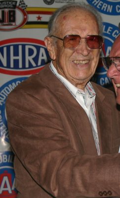
Goltry, decade by decade
2000
1 historic place in Goltry
1 place in Goltry is on the National Register of Historic Places, the country’s official list of buildings and places worth saving.
Where they are
When they were listed
Then & now
When neighbors add old photos, retakes from the same spot appear here side by side.
Stories next door
nearby towns’ historyFrom the National Register (1). Images are copied here with their credits and licenses, shown on each photo’s page. Refreshed monthly.