
Drumright’s history is
mostly unwritten
The public archives hold only 4 old photos of Drumright. The rest are in attics, shoeboxes and the historical society. Help start the collection.
The story
from WikipediaRead it all ↗The town sprang up nearly overnight in 1912, after wildcatter Thomas Baker Slick struck oil on the farm of Frank Wheeler, causing a rush of speculators, oilfield workers, and merchants into the area. A post office was established in the community on December 28, 1912. Local landowners James W. Fulkerson and Aaron Drumright platted a townsite, which was initially called Fulkerson, The town was renamed for Aaron Drumright, a farmer and later local businessman whose farm was part of the townsite.
Text from Wikipedia, licensed CC BY-SA 4.0.
Timeline
built from the dates on the items belowStart Drumright’s collection
The first neighbors to add old photos shape how Drumright’s history is told.
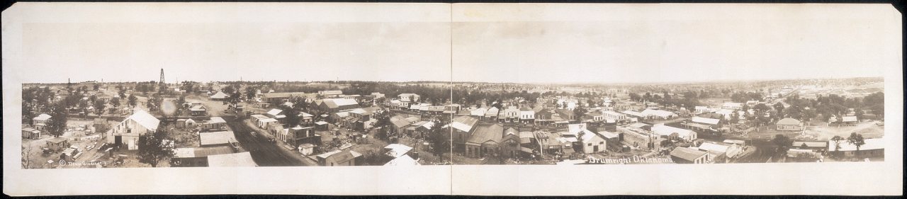
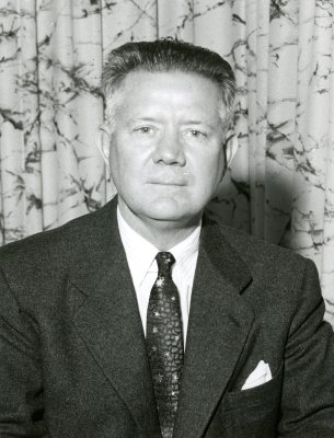
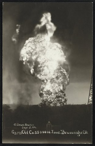
2 of 10 decades since 1900 have photos 🔁Retake an old viewDrumright, Okla, 1914: stand where they stood+15 📦Share a family photoSign in to add one+10Famous people from Drumright
See all 7 →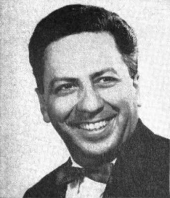
Drumright, decade by decade

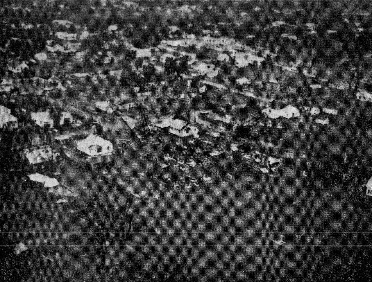
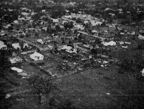
1960s
1990s
Then & now
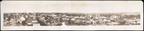
No then-and-now pairs yet. Take a photo from the same spot as Drumright, Okla (1914) and it appears here side by side.
🔁 Retake this view · +15Historic places
National Register · via Wikidata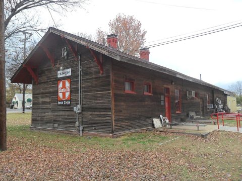
From Wikimedia Commons (2), the Library of Congress (3) and the National Register (1). Images are copied here with their credits and licenses, shown on each photo’s page. Refreshed monthly.