The story
from WikipediaRead it all ↗Founded in Boone Township, Oklahoma County, as a "bedroom" community, Del City lies three miles (5 km) east of Oklahoma City and one mile (1.6 km) west of Midwest City. At the turn of the 21st century, Del City was a 7.5-square-mile (19 km2) community surrounded on the north, west, and south by Oklahoma City and on the east by Midwest City. Interstate Highway 40 bisects the town from the northwest to southeast. Oklahoma City streets define the boundaries: NE 10th Street on the north; Sooner Road on the east; SE 44th Street on the south; and Bryant Avenue on the west. Northwestern corner of the city is a mile from the junction of Interstate 35 and Interstate 40, justifying its claim to being "the Crossroads of America."
Text from Wikipedia, licensed CC BY-SA 4.0.
Start Del’s collection
The first neighbors to add old photos shape how Del’s history is told.
0 of 10 decades since 1900 have photos 📦Share a family photoSign in to add one+10Del, decade by decade
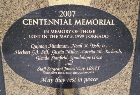
2000
Then & now
When neighbors add old photos, retakes from the same spot appear here side by side.
Stories next door
nearby towns’ historyFrom Wikimedia Commons (6). Images are copied here with their credits and licenses, shown on each photo’s page. Refreshed monthly.