The story
from WikipediaRead it all ↗Clayton was formerly known as Dexter. A United States Post Office was established at Dexter, Indian Territory on March 31, 1894, and was named for Dexter Chapman, early-day resident.
The official name of the post office name changed to Clayton, Indian Territory on April 5, 1907. Its name is thought to have been derived from Clayton, Missouri. It is also possible the town renamed itself after William H.H. Clayton, judge of the U.S. Court for the Central District of Indian Territory. Judge Clayton was prominent in the role to gain Oklahoma’s statehood.
Clayton is the largest town or community in northern Pushmataha County. It is the region's largest trading center due to its relative distance from the county seat of Antlers—36 miles.
Text from Wikipedia, licensed CC BY-SA 4.0.
Start Clayton’s collection
The first neighbors to add old photos shape how Clayton’s history is told.
0 of 10 decades since 1900 have photos 📦Share a family photoSign in to add one+10Famous people from Clayton
See all 1 →Clayton, decade by decade
2000
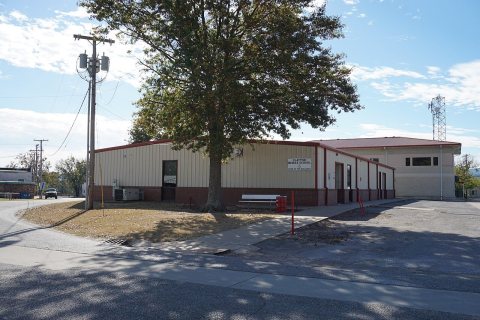 CommonsClayton November 2016 09 (Clayton Middle School)2016
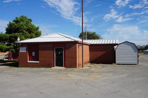 CommonsClayton November 2016 07 (Clayton Child Care Center)2016
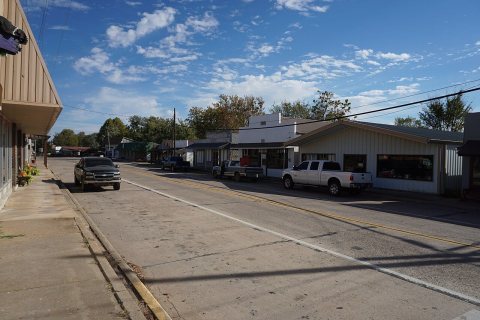 CommonsClayton November 2016 05 (Lawson Boulevard)2016
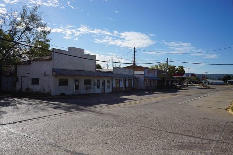 CommonsClayton November 2016 04 (Lawson Boulevard)2016
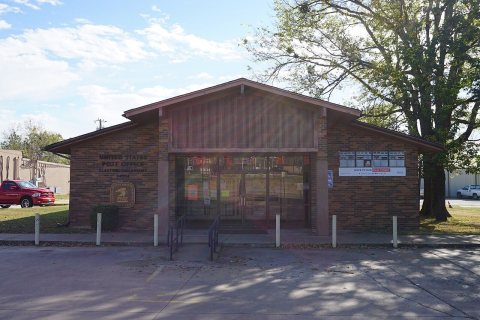 CommonsClayton November 2016 01 (United States Post Office)2016
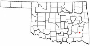 CommonsOKMap-doton-Clayton2004
2 historic places in Clayton
2 places in Clayton are on the National Register of Historic Places, the country’s official list of buildings and places worth saving.
Where they are
When they were listed

Then & now
When neighbors add old photos, retakes from the same spot appear here side by side.
Stories next door
nearby towns’ historyFrom Wikimedia Commons (6). Images are copied here with their credits and licenses, shown on each photo’s page. Refreshed monthly.