The story so far
from Wikipedia & the U.S. CensusCave Spring is a census-designated place (CDP) in Adair County, Oklahoma, United States. Part of the Cherokee Nation, it was first listed as a CDP prior to the 2020 census. As of the 2020 census, Cave Spring had a population of 74. The CDP is in southwestern Adair County, bordered to the southeast by Bunch and to the northeast by Lyons Switch. Bunch Road crosses the southeast side of the community, leading south 2.5 miles (4.0 km) to Bunch and northeast 12 miles (19 km) to Stilwell, the county seat. The CDP is hilly and mostly forested, with elevations ranging from 800 to 1,200 feet (240 to 370 m) above sea level. Sallisaw Creek, a south-flowing tributary of the Arkansas River, forms the bo…
Half of its homes were built before 1987.
Wikipedia doesn’t have a history of Cave Spring yet — the old photos, dates and memories neighbors add here are how it gets written.
Intro from Wikipedia, licensed CC BY-SA 4.0. Population and housing: U.S. Census Bureau.
Start Cave Spring’s collection
The first neighbors to add old photos shape how Cave Spring’s history is told.
0 of 10 decades since 1900 have photos 📦Share a family photoSign in to add one+10Famous people close to Cave Spring
See all 5 →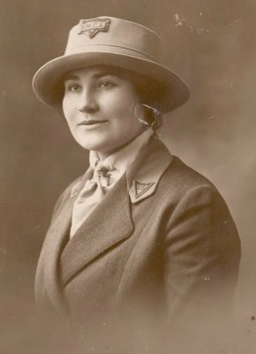
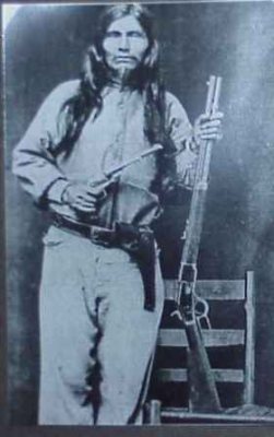
Cave Spring, decade by decade
2000
Nothing in Cave Spring is on the National Register yet
That’s true of most small towns. It doesn’t mean Cave Spring has no history, only that no one has written up a nomination. The closest listed place is Golda's Mill in Wauhillau, 9.1 miles away.
Cave Spring and the nearest listed places


How a place gets listed
Then & now
When neighbors add old photos, retakes from the same spot appear here side by side.