The story
from WikipediaRead it all ↗The community of Arkoma was established circa 1911 on land owned by Captain James Reynolds, a Civil War veteran who had married into the Choctaw Nation. He chose to turn his property into a suburb of Fort Smith. He built houses to rent. He persuaded the Fort Smith Light and Traction Company to construct tracks and operate an electric trolley route to his new community. The streetcar line ceased operating in 1917.
Text from Wikipedia, licensed CC BY-SA 4.0.
Be one of the first
Start Arkoma’s collection
The first neighbors to add old photos shape how Arkoma’s history is told.
0 of 10 decades since 1900 have photos 📦Share a family photoSign in to add one+10By decade
Arkoma, decade by decade
Before
2000
2000
No old photos in the archives yetWeddings on Main Street, storms, parades, school pictures, the old store. If it’s in your family album, it belongs here.
📷 Add from your albumThen & now
When neighbors add old photos, retakes from the same spot appear here side by side.
Historic places
National Register · via Wikidata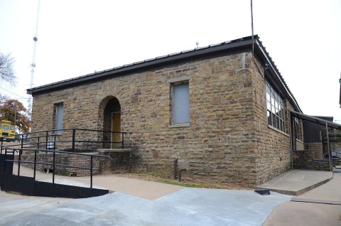
From the National Register (1). Images are copied here with their credits and licenses, shown on each photo’s page. Refreshed monthly.