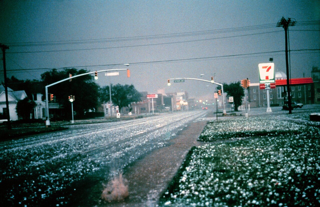
Altus’s history is
mostly unwritten
The public archives hold just one old photo of Altus. The rest are in attics, shoeboxes and the historical society. Help start the collection.
The story
from WikipediaRead it all ↗The town that would later be named Altus was founded in 1886. The community was originally called "Frazer", a settlement of about 50 people on Bitter Creek that served as a trading post on the Great Western Cattle Trail. Cowboys driving herds northward often stopped to buy buttermilk from John McClearan. Thus, the town was known locally as "Buttermilk Station". The Frazer post office opened February 18, 1886. A flash flood nearly destroyed Frazer on June 4, 1891. The residents moved to higher ground 2.5 miles (4.0 km) east of the original site. W. R. Baucum suggested renaming the town "Altus", a Latin word meaning "high". This name stuck, although the town was also known as "Leger" from July 10, 1901, to May 14, 1904.
Text from Wikipedia, licensed CC BY-SA 4.0.
Timeline
built from the dates on the items belowStart Altus’s collection
The first neighbors to add old photos shape how Altus’s history is told.
1 of 10 decades since 1900 have photos 🔁Retake an old viewHailstorm, 1982: stand where they stood+15 📦Share a family photoSign in to add one+10Altus, decade by decade
1990s
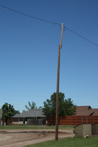
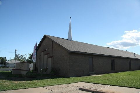
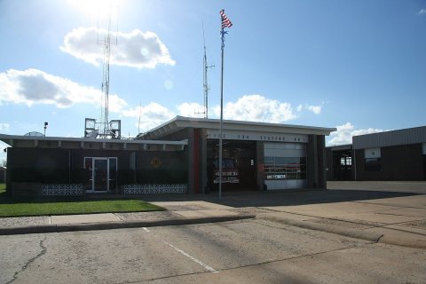
Then & now
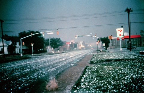
No then-and-now pairs yet. Take a photo from the same spot as Hailstorm (1982) and it appears here side by side.
🔁 Retake this view · +15Stories next door
nearby towns’ historyFrom Wikimedia Commons (6). Images are copied here with their credits and licenses, shown on each photo’s page. Refreshed monthly.