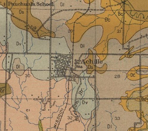
Achille’s history is
mostly unwritten
The public archives hold just one old photo of Achille. The rest are in attics, shoeboxes and the historical society. Help start the collection.
The story
from WikipediaRead it all ↗The area that would become Achille was originally part of the Chickasaw Nation in Indian Territory. The Bloomfield Academy for Chickasaw girls was located 3 miles (4.8 km) southeast of present-day Achille from 1853 until 1914. Cherokee refugees located to the area during the American Civil War and called it atsila, meaning "fire".
The Missouri, Oklahoma and Gulf Railway built a line that crossed the region in 1908 and a post office was established in the community in 1910.
The community grew from an estimated population of 50 to 500 in 1920. The town's population declined to 294 in 1960 and reached a peak number of 506 in 2000.
Text from Wikipedia, licensed CC BY-SA 4.0.
Timeline
built from the dates on the items belowStart Achille’s collection
The first neighbors to add old photos shape how Achille’s history is told.
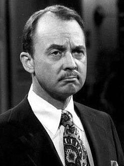
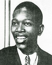
1 of 10 decades since 1900 have photos 🔁Retake an old viewAchille, 1914: stand where they stood+15 📦Share a family photoSign in to add one+10Famous people close to Achille
See all 27 →


Achille, decade by decade
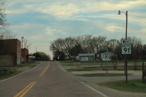
1990s
1 historic place in Achille
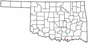
1 place in Achille is on the National Register of Historic Places, the country’s official list of buildings and places worth saving.
Where they are
When they were listed
Then & now
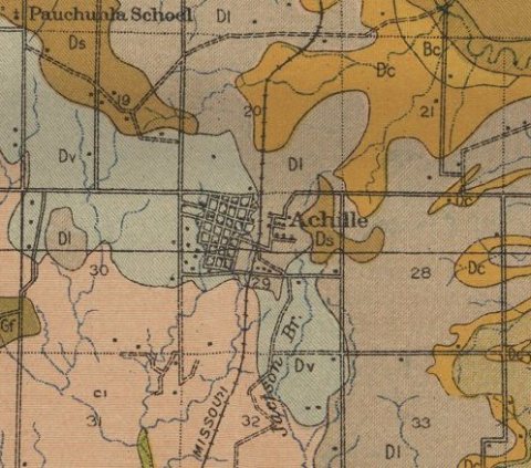
No then-and-now pairs yet. Take a photo from the same spot as Achille (1914) and it appears here side by side.
🔁 Retake this view · +15From Wikimedia Commons (4). Images are copied here with their credits and licenses, shown on each photo’s page. Refreshed monthly.