The story
from WikipediaRead it all ↗Johnstown is part of a four thousand acre (16 km2) tract of land deeded to John Brown, a revolutionary soldier, by President John Adams for military services in 1800. Brown sold the property in 1810 for $2.50 per acre, or $10,000, to Dr. Oliver Bigelow. Dr. Bigelow laid out and incorporated the village of Johnstown, donating the streets, alleys and the town square. In 1926 a nearly complete skeleton of a mastodon was found by a farmer named James Bailey, and subsequently sold to the Cleveland Museum of Natural History.
Text from Wikipedia, licensed CC BY-SA 4.0.
Start Johnstown’s collection
The first neighbors to add old photos shape how Johnstown’s history is told.
0 of 10 decades since 1900 have photos 📦Share a family photoSign in to add one+10Johnstown, decade by decade
2000
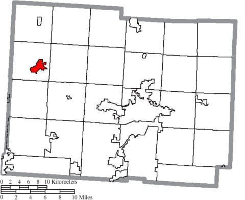
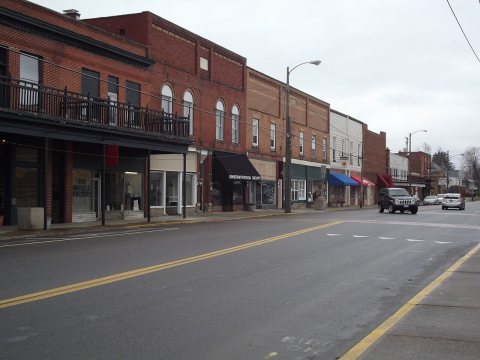
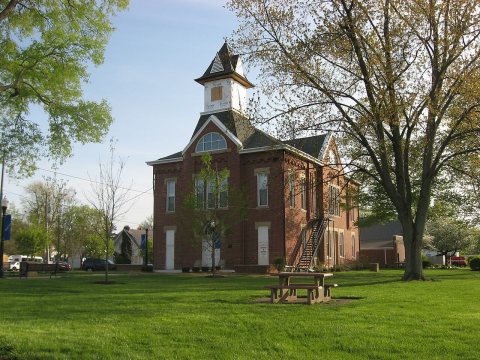
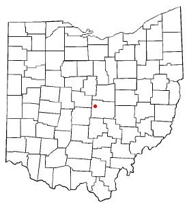
Then & now
When neighbors add old photos, retakes from the same spot appear here side by side.
Historic places
National Register · via Wikidata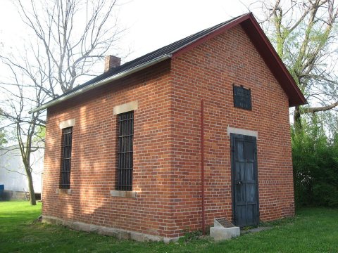
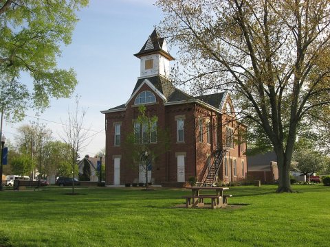
From Wikimedia Commons (4) and the National Register (2). Images are copied here with their credits and licenses, shown on each photo’s page. Refreshed monthly.