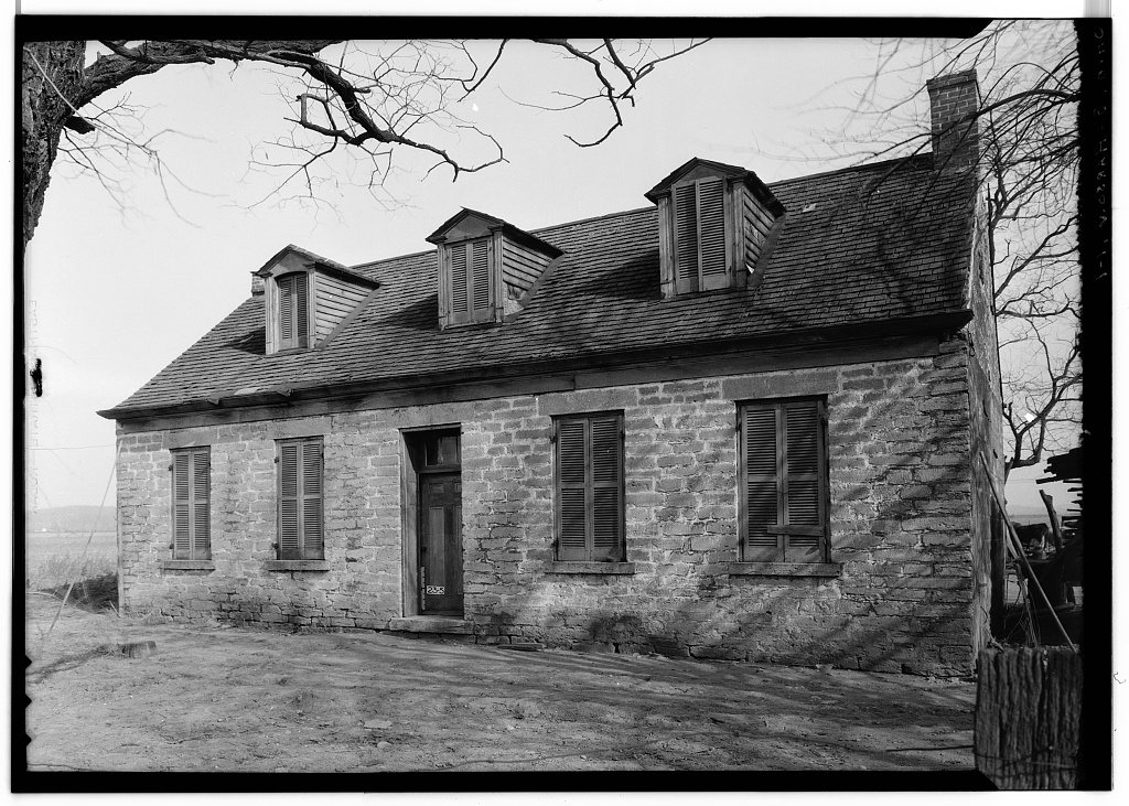
Harrison’s history is
mostly unwritten
The public archives hold only 2 old photos of Harrison. The rest are in attics, shoeboxes and the historical society. Help start the collection.
The story
from WikipediaRead it all ↗Harrison was laid out in 1810, named in honor of William Henry Harrison, a decorated general and state legislator and afterward the ninth president of the United States. It was incorporated in 1850 and became a city in 1981.
Harrison Township was established in 1853, formerly part of Crosby and Whitewater Township. Among the historic sites in the city's vicinity is the Eighteen Mile House, which was built during the earliest years of the nineteenth century.
Harrison was the home of Ohio's fifth governor Othneil Looker. It was one of the few stops in Ohio on the Whitewater Canal, built between 1836 and 1847, which spanned a distance of 76 miles (122 km).
Text from Wikipedia, licensed CC BY-SA 4.0.
Start Harrison’s collection
The first neighbors to add old photos shape how Harrison’s history is told.
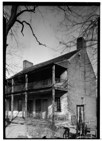
0 of 10 decades since 1900 have photos 🗓️Date a photo2 archive items have no date+2 🔁Retake an old viewOthniel Looker House, New Haven R…: stand where they stood+15 📦Share a family photoSign in to add one+10Famous people from Harrison
See all 4 →
Harrison, decade by decade
2000
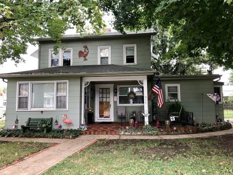
unknown2 items
Then & now
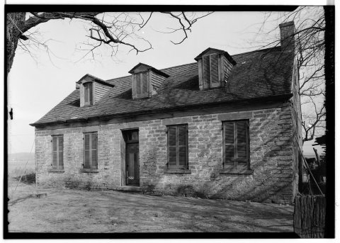
No then-and-now pairs yet. Take a photo from the same spot as Othniel Looker House, New Haven Road and it appears here side by side.
🔁 Retake this view · +15Stories next door
nearby towns’ historyFrom Wikimedia Commons (1) and the Library of Congress (2). Images are copied here with their credits and licenses, shown on each photo’s page. Refreshed monthly.