The story
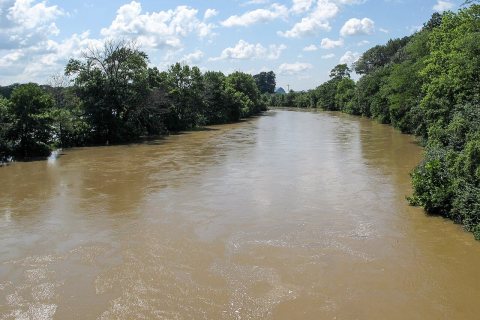
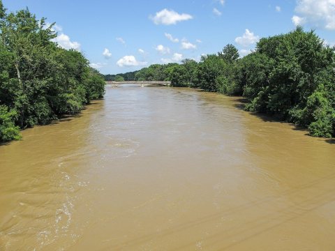
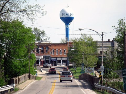
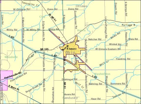
from WikipediaRead it all ↗Elmore is located in what used to be known as the Black Swamp, a sprawling area of marsh that covered the majority of northwest Ohio, and was primarily inhabited by Native Americans until the 19th century. It is believed that the Portage River, which runs alongside the village, most likely derives its name from early explorers who were forced to portage or carry their canoes and boats around the river's intermittent shallows and rapids. German settlers during the first half of the 1800s began the long process of draining the land and clear cutting the dense forest exposing the nutrient rich soil, which, along with a once thriving railroad, provided the foundation for the village’s early growth and development. Elmore was surveyed and platted on October 2, 1851. The land surrounding Elmore is tabletop flat. Several sawmills in the vicinity provided the badly needed "planks" (boards) for …
Text from Wikipedia, licensed CC BY-SA 4.0.
Start Elmore’s collection
The first neighbors to add old photos shape how Elmore’s history is told.
0 of 10 decades since 1900 have photos 📦Share a family photoSign in to add one+10Elmore, decade by decade
2000
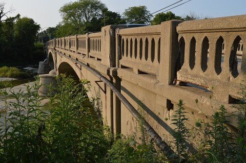
1 historic place in Elmore
1 place in Elmore is on the National Register of Historic Places, the country’s official list of buildings and places worth saving.
Where they are
When they were listed
Then & now
When neighbors add old photos, retakes from the same spot appear here side by side.
Stories next door
nearby towns’ historyFrom Wikimedia Commons (6). Images are copied here with their credits and licenses, shown on each photo’s page. Refreshed monthly.