The story
from WikipediaRead it all ↗The confluence of coal and railroads drove the development of Dennison. It is located at the midpoint between Pittsburgh and Columbus -- 100 miles (160 km) from each. At the time, locomotives needed water every 100 miles (160 km), so Dennison was a natural refilling location. The Dennison Coal Company had mines south of town.
Text from Wikipedia, licensed CC BY-SA 4.0.
Start Dennison’s collection
The first neighbors to add old photos shape how Dennison’s history is told.
0 of 10 decades since 1900 have photos 📦Share a family photoSign in to add one+10Famous people from Dennison
See all 7 →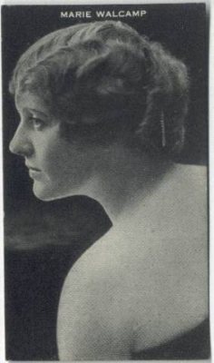

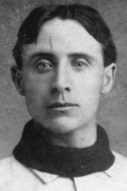
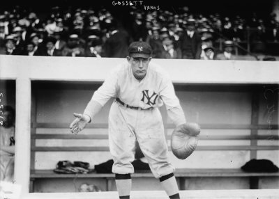
Dennison, decade by decade
2000
4 historic places in Dennison
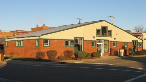
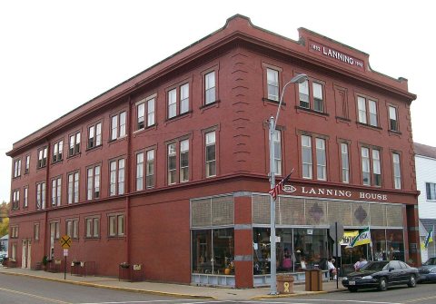
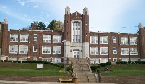
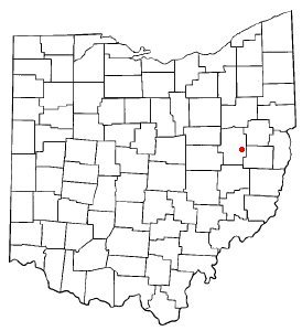
4 places in Dennison are on the National Register of Historic Places, the country’s official list of buildings and places worth saving. One is a National Historic Landmark, the highest tier, which fewer than 3% of listings reach.
Where they are
Architectural styles
When they were listed
 LandmarkListed 1976Pennsylvania Railroad Depot And Baggage Room
 Listed 2000Lanning, T., & Co. Department Store
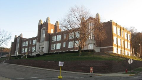
 Listed 2006Dennison High School
 Listed 2009Railway Chapel, The
Then & now
When neighbors add old photos, retakes from the same spot appear here side by side.
Stories next door
nearby towns’ historyFrom Wikimedia Commons (5) and the National Register (1). Images are copied here with their credits and licenses, shown on each photo’s page. Refreshed monthly.