A history of Chillicothe,
since 1803
Postcards, papers and photographs of Chillicothe from public archives, woven together by decade. Neighbors fill in the gaps.
The story
from WikipediaRead it all ↗The region around Chillicothe was the center of the ancient Hopewell tradition, which flourished from 200 BC until 500 AD. This Amerindian culture had trade routes extending to the Rocky Mountains. They built earthen mounds for ceremonial and burial purposes throughout the Scioto and Ohio River valleys.
Text from Wikipedia, licensed CC BY-SA 4.0.
Timeline
built from the dates on the items belowFinish Chillicothe’s story
Most archives stop around 1920. The photos from after that are in family albums, not libraries.
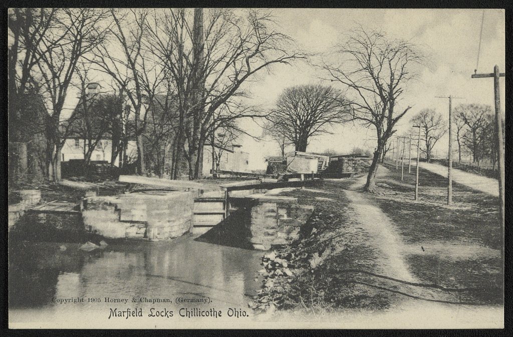
1 of 10 decades since 1900 have photos 🔁Retake an old viewMarfield Locks Chillicothe, Ohio, 1905: stand where they stood+15 📦Share a family photoSign in to add one+10Famous people from Chillicothe
See all 54 →


Chillicothe, decade by decade
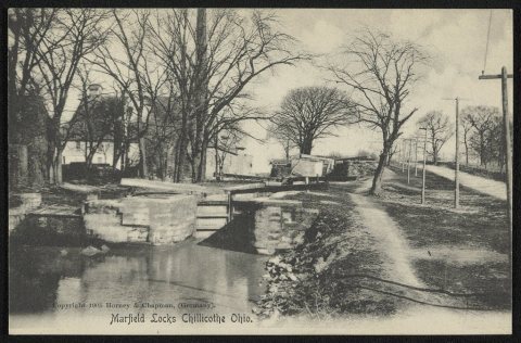 LOCMarfield Locks Chillicothe, Ohio1905
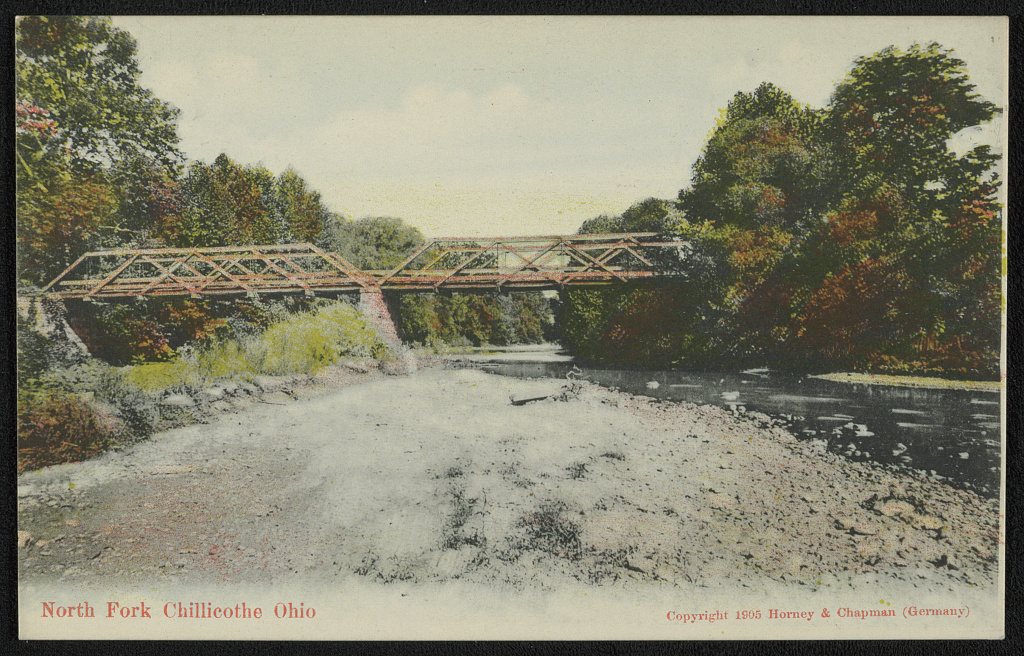
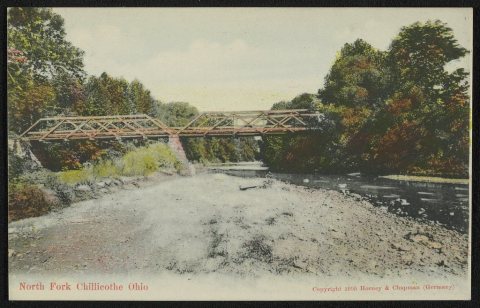 LOCNorth Fork Chillicothe Ohio1905
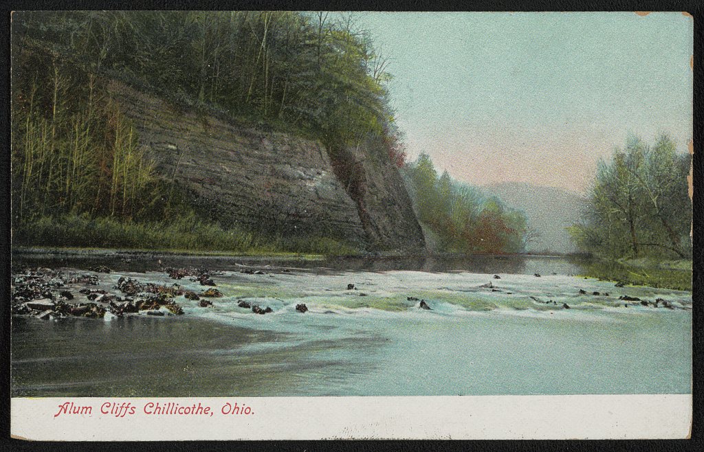
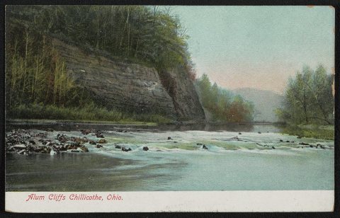 LOCAlum Cliffs1907
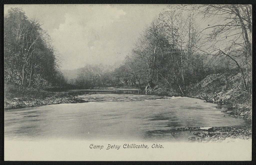
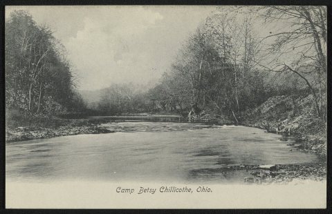 LOCCamp Betsy Chillicothe, Ohio1907
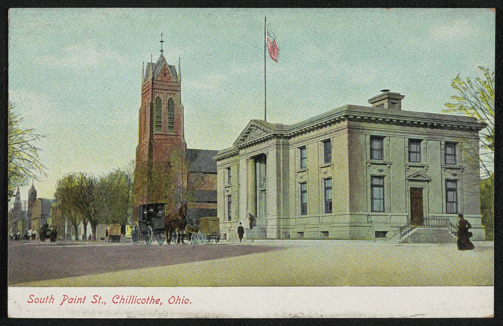
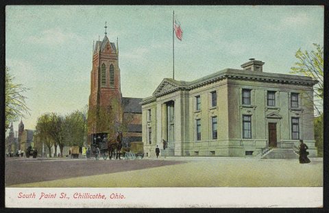 LOCSouth Paint St1907
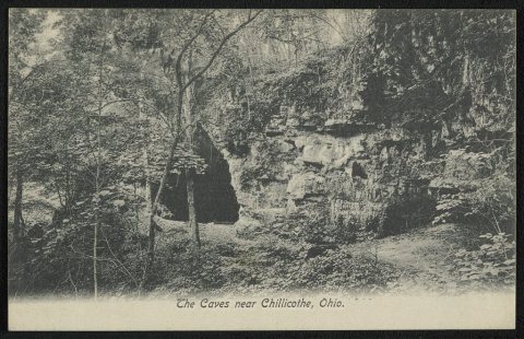 LOCThe Caves near Chillicothe, Ohio1907
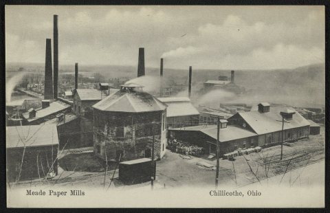 LOCMeade Paper Mills1907
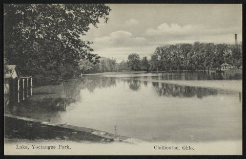 LOCLake, Yoctangee Park1907
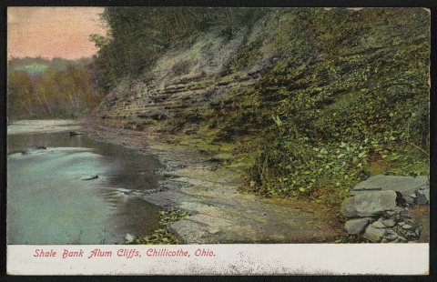 LOCShale Bank Alum Cliffs1907
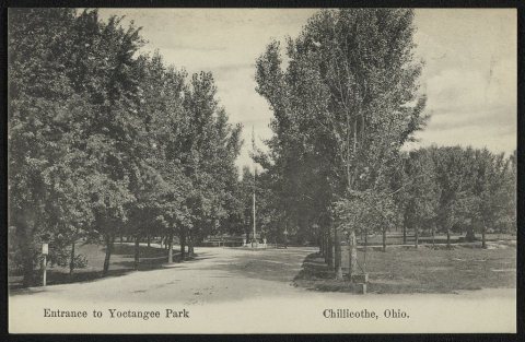 LOCEntrance to Yoctangee Park1907
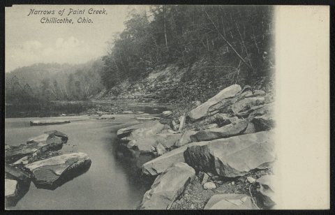 LOCNarrows of Paint Creek1907
1990s
Then & now
No then-and-now pairs yet. Take a photo from the same spot as Marfield Locks Chillicothe, Ohio (1905) and it appears here side by side.
🔁 Retake this view · +15Historic places
National Register · via Wikidata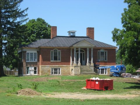
From the Library of Congress (11) and the National Register (1). Images are copied here with their credits and licenses, shown on each photo’s page. Refreshed monthly.