Albany’s history is
mostly unwritten
The public archives hold only 2 old photos of Albany. The rest are in attics, shoeboxes and the historical society. Help start the collection.
The story
from WikipediaRead it all ↗Albany was laid out in about 1832. It was incorporated as a village in 1842.
The small rural village had at least four routes leading into it and became a major stop in Athens County for the Underground Railroad, as fugitives could come upriver on the Hocking River from the Ohio River. Former slaves, many of whom had migrated from the Upper South to escape its slavery and discrimination, settled the village in the mid-19th century.
The black population increased during the 1850s from four in the township to 174 by 1860. In 1860, 70 members of the black community were from the South: 53 from Virginia and 17 from other slave states.
Text from Wikipedia, licensed CC BY-SA 4.0.
Timeline
built from the dates on the items belowStart Albany’s collection
The first neighbors to add old photos shape how Albany’s history is told.
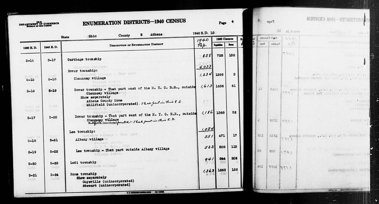
1 of 10 decades since 1900 have photos 🔁Retake an old view1940 Census Enumeration District …, 1850: stand where they stood+15 📦Share a family photoSign in to add one+10Famous people from Albany
See all 2 →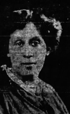
Albany, decade by decade
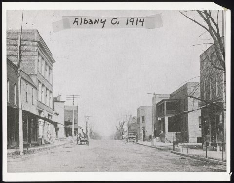
1990s
Then & now
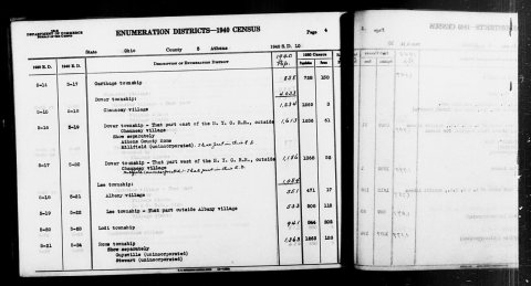
No then-and-now pairs yet. Take a photo from the same spot as 1940 Census Enumeration District Descriptions - Ohio - Athens County - ED 5-17, ED 5-18, ED 5-19, ED 5-20, ED 5-21, ED … (1850) and it appears here side by side.
🔁 Retake this view · +15Stories next door
nearby towns’ historyFrom Wikimedia Commons (7). Images are copied here with their credits and licenses, shown on each photo’s page. Refreshed monthly.