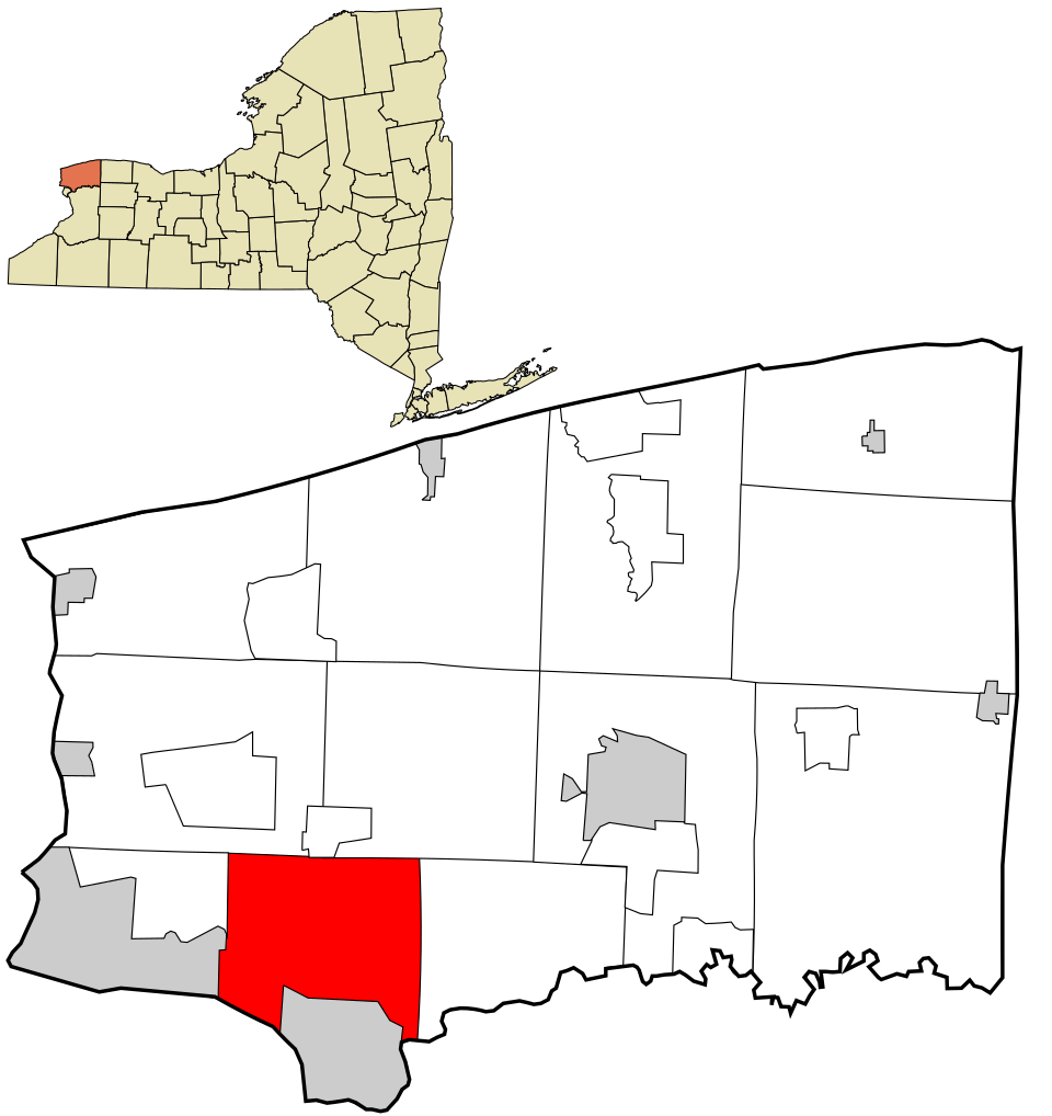
Save town Compare Needs More Love
Town guide

Wheatfield

A town of 18,549 people in Niagara County, New York
T Under 10 neighborsJoin Wheatfield →
1

Now in Wheatfield

What’s happening this week

All posts →
From your neighbors

What’s happening

Be the first to post in Wheatfield — introduce yourself, ask a question, or share what’s happening.

Weather

Forecast →
Coming up

Upcoming events

Nothing on the calendar yet

Put the next local happening — a market, a meeting, a concert — on the map.

Add an event →
2

Around town

The places and views that make it Wheatfield

Explore places →

Outdoors in Wheatfield

Parks & trails →
Map of Wheatfield: conserved land, trails and the top places to walk
Conserved land1.2%227 of 18,191 acres
Trails1.5 mi0.1 mi per sq mi
Parks & preserves612 conserved acres per 1,000 residents

Trails & parks © OpenStreetMap contributors · Conserved land: USGS PAD-US
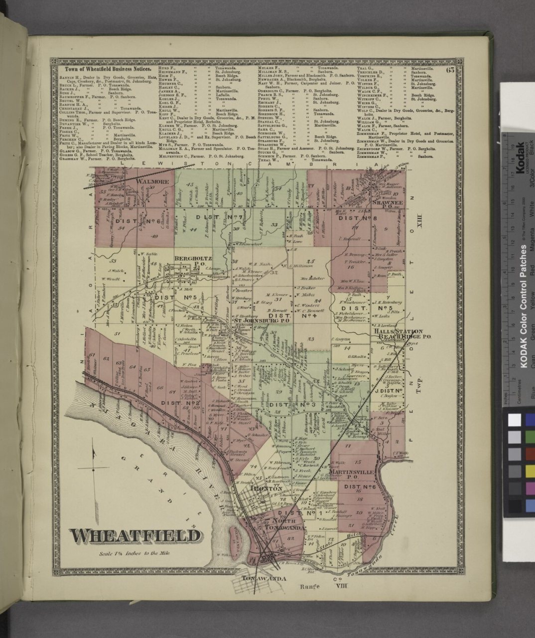
Town of Wheatfield Business Notices.; Wheatfield (Township)1875
From Wheatfield’s story

Town of Wheatfield Business Notices.; Wheatfield (Township), 1875

Photo · Wikimedia Commons

3

Know Wheatfield

The town at a glance, and the guide to how things work

Open the full guide →

About Wheatfield

Town in New York, United States
18,638Population
28.6 sq miArea
577 ftElevation

Wheatfield is a town in Niagara County, New York, United States. The population was 18,117 at the 2010 census. The name stems from the agricultural use of the town lands, the growing of wheat. The Town of Wheatfield is east of Niagara Falls International Airport.

From Wikipedia, licensed CC BY-SA 4.0 · facts via Wikidata (CC0)

Living in Wheatfield

Housing in Wheatfield

$440K Median sale price · Redfin, May 2026

The median sale price was $440,000 in May 2026.

A strong seller's market

Buyer’sBalancedSeller’s
Days on market9
Sale-to-list103.5%
Sold in May9
Zillow Home Value Index · Redfin Data CenterHousing market →

Health in Wheatfield

B

Health Grade B

Healthier than 62% of U.S. towns on seven CDC estimates.

Compared with New York

7better than NY·5worse

of 32 measures CDC estimates. The other 20 are too close to call.

BetterToo close to callWorse

What stands out

Care nearby

Mount St. Mary's Hospital & Health CenterLewiston · 7.7 mi · ER
Community Health Center of NiagaraNiagara Falls · 8.4 mi · sliding-scale fees
Primary careShortage · part of Wheatfield
DentalShortage · county-wide
Mental healthNo shortage
CDC PLACES 2025 · modeled estimates for adults · ZIP codes 14120, 14304, 14132 · CMS · HRSAHealth in Wheatfield →

Schools in Wheatfield

All Wheatfield schools →
B+

School Grade B+

The public schools Wheatfield’s kids attend, from kindergarten through graduation, outperform 72% of New York’s districts on state tests and graduation. Among towns with similar incomes, they rank near the top.

#9Best public schoolsof 484 in NY
DistrictNIAGARA-WHEATFIELD CENTRAL SCHOOL DISTRICTSchools3

School data from the U.S. Department of Education (NCES, EDFacts). The School Grade is our own summary of state test results and graduation rates, graded within NY. Ratings are from neighbors.

Famous people from WheatfieldWriters, athletes, leaders and more who were born in Wheatfield.Meet them →

How things work in Wheatfield

All explainers →
You’re browsing

Wheatfield

New York · NY · Niagara County
View town boundary →
Township / city / CDP overlaps possible.
Loading boundary…

Wheatfield is your selected town. The feed includes posts assigned to this town, not a distance radius or ZIP code.

Neighborhoods narrow the feed further, while townwide announcements, events, and issues remain visible.

Boundary source: https://tigerweb.geo.census.gov/arcgis/rest/services/TIGERweb/Places_CouSub_ConCity_SubMCD/MapServer/15 · 2025-01-01