The story
from WikipediaRead it all ↗The region was part of the Central New York Military Tract used to pay soldiers of the American Revolution. "Virgil" was the name of one of the townships of the Military Tract, this name being assigned by a clerk interested in the Classics.
Virgil was first settled circa 1792. The town was formed from the town of Homer in 1804. Virgil was reduced by the formation of the towns of Harford and Lapeer in 1845. Virgil also lost territory to the towns of Cortlandville and Freetown.
Text from Wikipedia, licensed CC BY-SA 4.0.
Be one of the first
Start Virgil’s collection
The first neighbors to add old photos shape how Virgil’s history is told.
0 of 10 decades since 1900 have photos 📦Share a family photoSign in to add one+10Famous people from Virgil
See all 2 →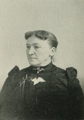
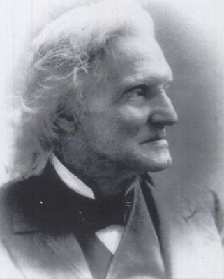
By decade
Virgil, decade by decade
Before
2000
2000
No old photos in the archives yetWeddings on Main Street, storms, parades, school pictures, the old store. If it’s in your family album, it belongs here.
📷 Add from your albumThen & now
When neighbors add old photos, retakes from the same spot appear here side by side.