The story
from WikipediaRead it all ↗The area that became Van Etten was first settled around 1794, but more permanent settlement came in 1797. The town of Van Etten was formed in 1854 from the towns of Erin and Cayuta. (Cayuta later became part of Schuyler County.)
In 1876, the village of Van Etten was incorporated within the town.
In 2017, the village of Van Etten voted to dissolve and rejoin the Town of Van Etten. The dissolution took effect on December 31, 2018.
Text from Wikipedia, licensed CC BY-SA 4.0.
Start Van Etten’s collection
The first neighbors to add old photos shape how Van Etten’s history is told.
0 of 10 decades since 1900 have photos 🔁Retake an old viewErin Subscriber's Business Direct…, 1869: stand where they stood+15 📦Share a family photoSign in to add one+10Van Etten, decade by decade
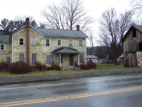
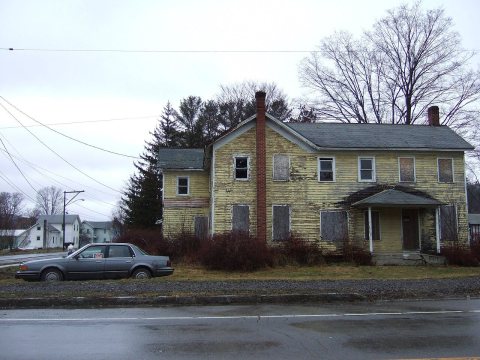
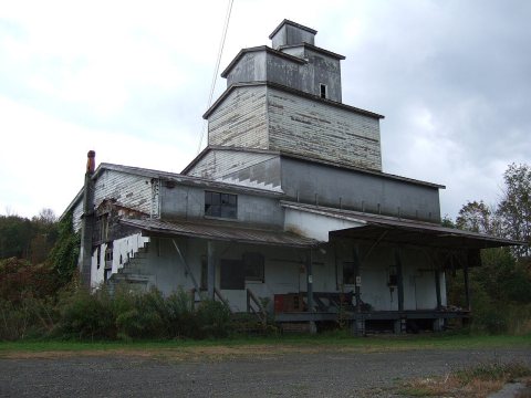
Then & now
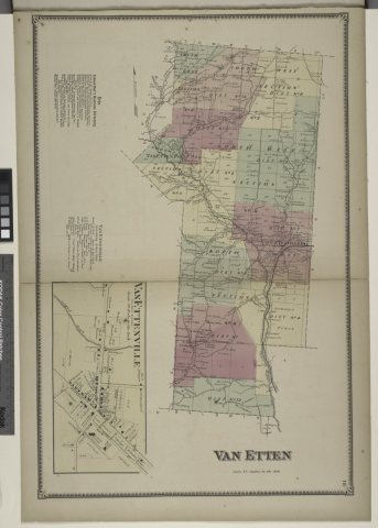
No then-and-now pairs yet. Take a photo from the same spot as Erin Subscriber's Business Directory; Van Ettenville (Township); Van Ettenville (Village) (1869) and it appears here side by side.
🔁 Retake this view · +15From Wikimedia Commons (4). Images are copied here with their credits and licenses, shown on each photo’s page. Refreshed monthly.