A history of Utica,
since 1734
Postcards, papers and photographs of Utica from public archives, woven together by decade. Neighbors fill in the gaps.
The story
from WikipediaRead it all ↗Utica was established on the site of Old Fort Schuyler, built by American colonists for defense in 1758 during the French and Indian War, the North American front of the Seven Years' War against France. Prior to construction of the fort, the Mohawk, Onondaga and Oneida nations of the Iroquois (Haudenosaunee) Confederacy had controlled this area southeast of the Great Lakes region as early as 4000 BC. The Mohawk were the largest and most powerful nation in the eastern and lower Mohawk Valley. Colonists had a long-standing fur trade with the Mohawk, in exchange for firearms and rum. The Iroquois nations' dominating presence in the region prevented the Province of New York from expanding past the middle of the Mohawk Valley until after the American victory over the British and British-allied Iroquois in the Revolutionary War. Following the war several Iroquois nations were forced to cede l…
Text from Wikipedia, licensed CC BY-SA 4.0.
Timeline
built from the dates on the items belowFinish Utica’s story
Most archives stop around 1920. The photos from after that are in family albums, not libraries.
0 of 10 decades since 1900 have photos 🔁Retake an old viewSheet Music -- 1879, 1879: stand where they stood+15 📦Share a family photoSign in to add one+10Utica, decade by decade
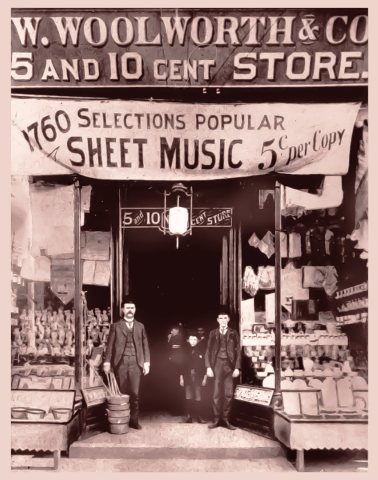
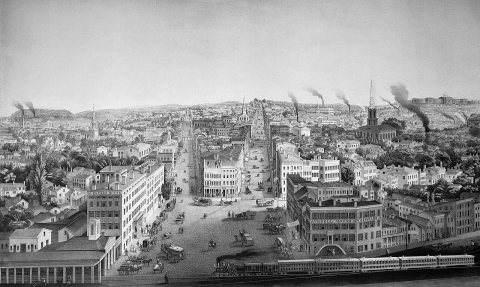
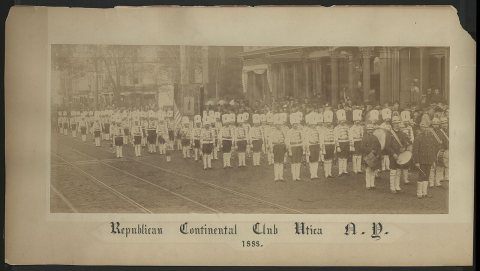
1990s
Then & now
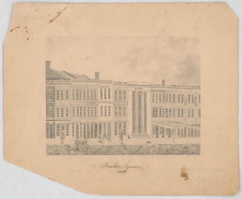
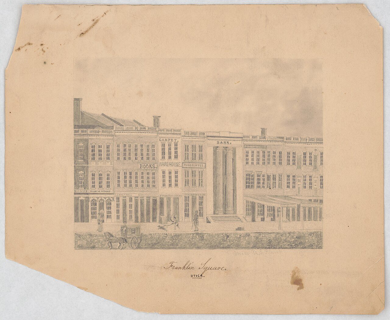
No then-and-now pairs yet. Take a photo from the same spot as Franklin Square, Utica - Miss M.E. Plumb (1840) and it appears here side by side.
🔁 Retake this view · +15Historic places
National Register · via Wikidata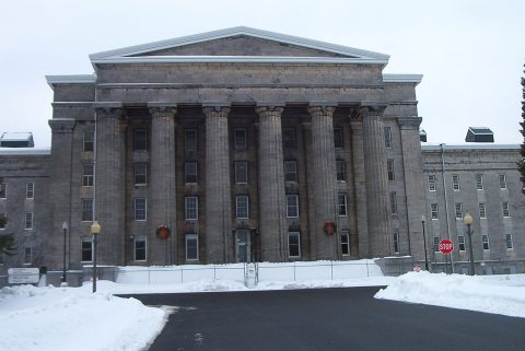
From Wikimedia Commons (11) and the National Register (1). Images are copied here with their credits and licenses, shown on each photo’s page. Refreshed monthly.