A history of Rushford,
then and now
Postcards, papers and photographs of Rushford from public archives, woven together by decade. Neighbors fill in the gaps.
The story
from WikipediaRead it all ↗The first settlers, Enos Gary and two of his children, arrived in 1808. The town of Rushford was formed in 1816 from part of the town of Caneadea. Part of Rushford was taken to form the newer town of New Hudson in 1825.
When Rushford Lake was formed by a dam on Caneadea Creek in 1927, the communities of East Rushford and Kelloggville were flooded by the rising water.
Text from Wikipedia, licensed CC BY-SA 4.0.
Timeline
built from the dates on the items belowFinish Rushford’s story
Most archives stop around 1920. The photos from after that are in family albums, not libraries.
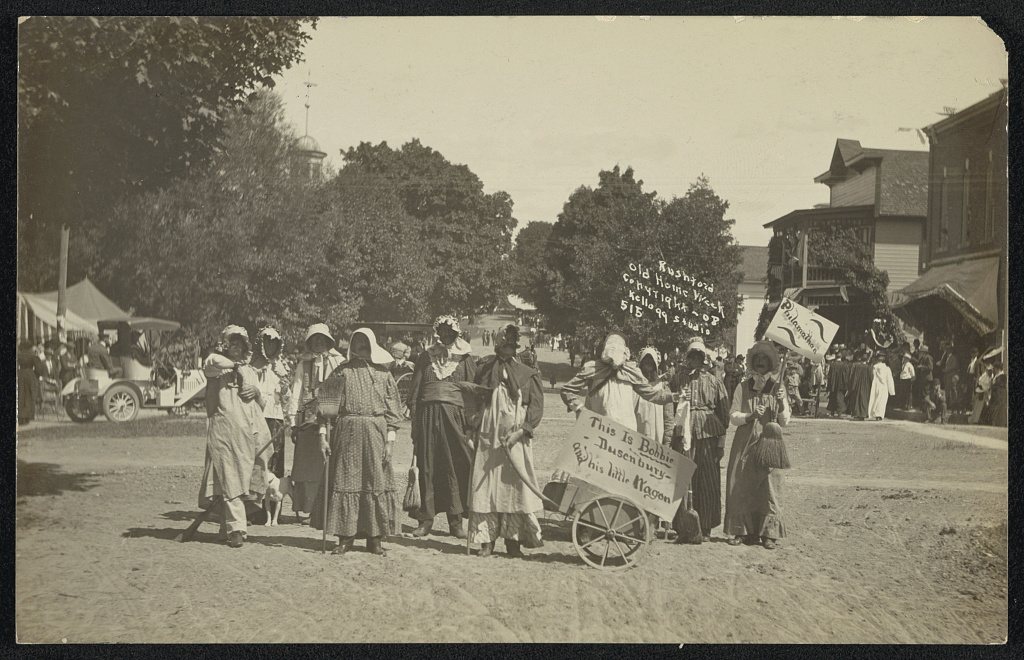
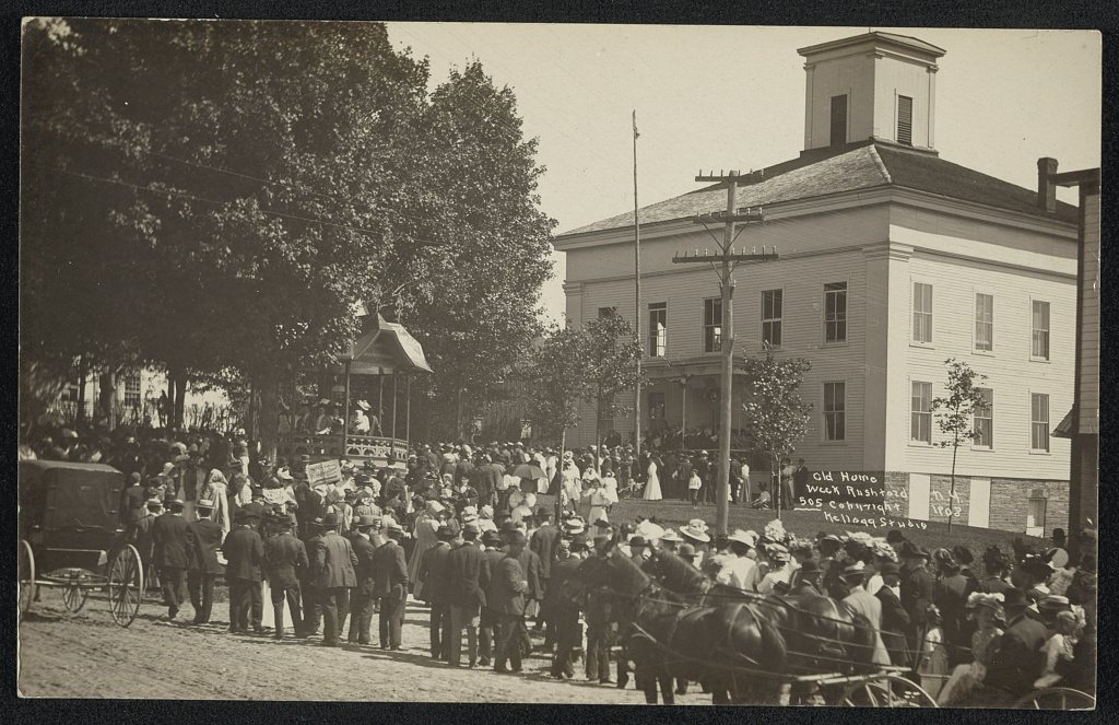
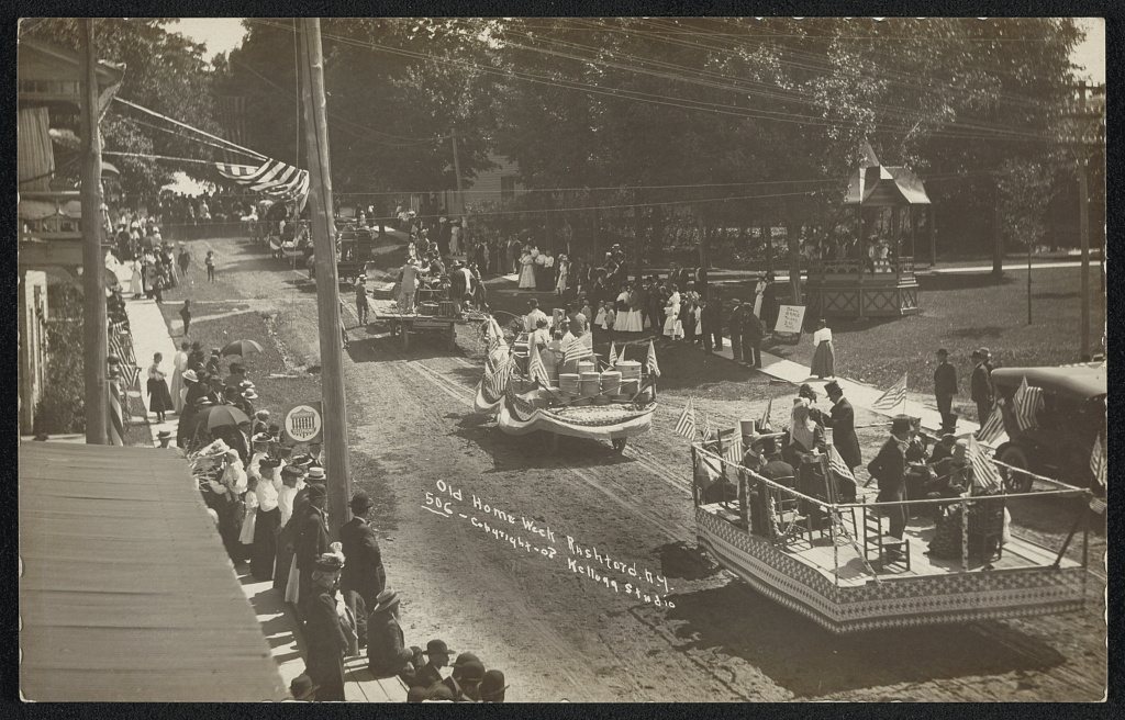
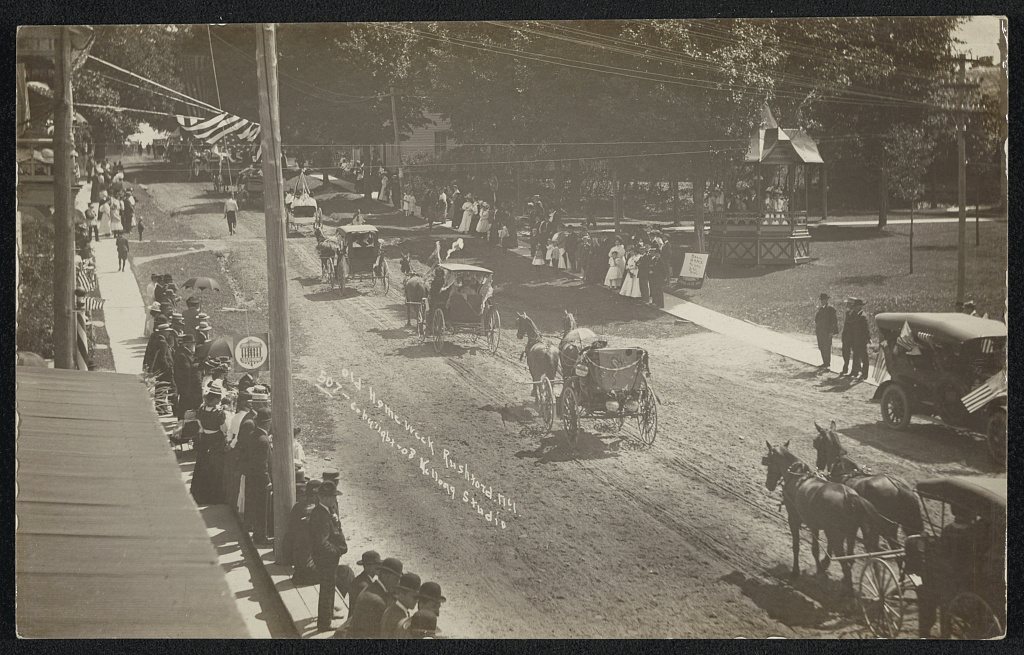
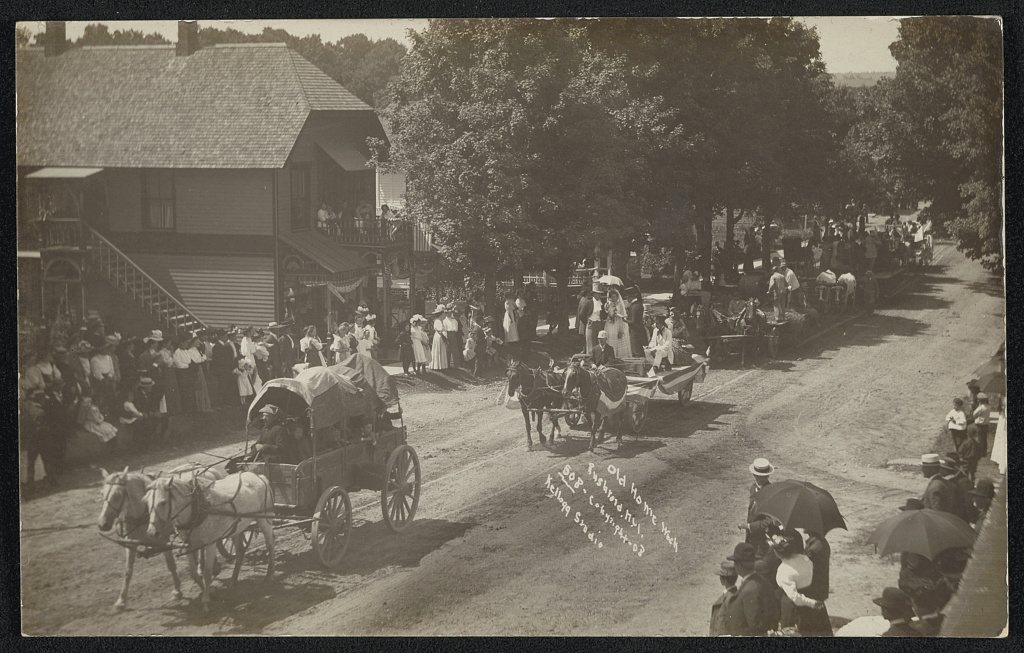
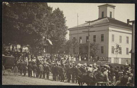
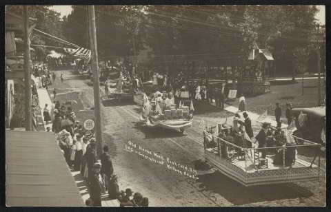
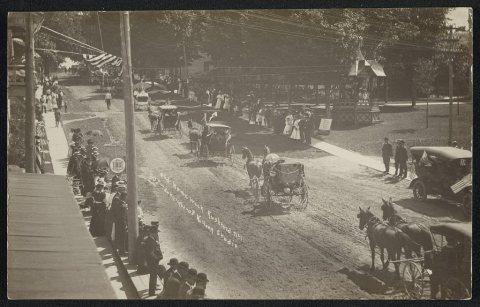
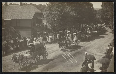
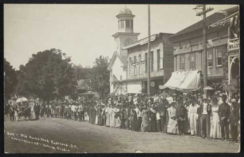
1 of 10 decades since 1900 have photos 🔁Retake an old viewRushford, old home week, 1908: stand where they stood+15 📦Share a family photoSign in to add one+10Rushford, decade by decade
1990s
Then & now
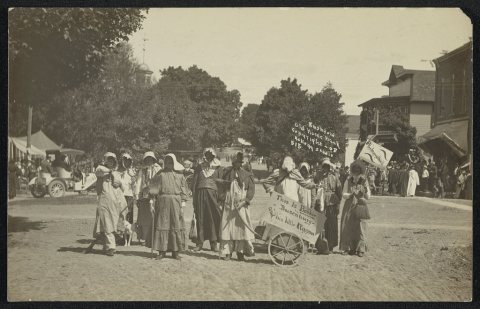
No then-and-now pairs yet. Take a photo from the same spot as Rushford, old home week (1908) and it appears here side by side.
🔁 Retake this view · +15Stories next door
nearby towns’ historyFrom the Library of Congress (6). Images are copied here with their credits and licenses, shown on each photo’s page. Refreshed monthly.