The story
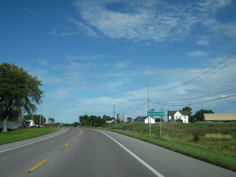
from WikipediaRead it all ↗The Oneida tribe granted land, a 100-square-mile (260 km2) tract, in the town to Peter Penet in 1788. The town was first settled around 1806.
The community of La Fargeville was founded around 1816 by the construction of a mill on the Chaumont River.
The town of Orleans was formed from part of the town of Brownville in 1821 at the same time as some other new towns.
Fordham University was founded as St. John's College in La Fargeville in 1838 by a purchase of the lands and home of John La Farge. The college moved to New York City after a few years.
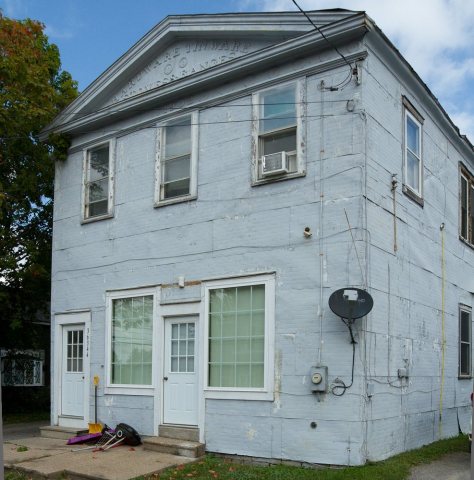
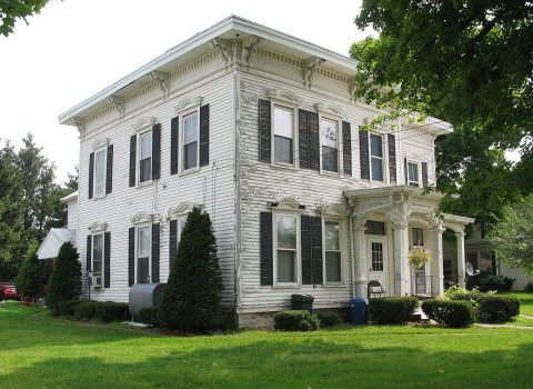
The Irwin Brothers Store and Stone Mills Union Church are listed on the National Register of Historic Places.
Text from Wikipedia, licensed CC BY-SA 4.0.
Start Orleans’s collection
The first neighbors to add old photos shape how Orleans’s history is told.
0 of 10 decades since 1900 have photos 🔁Retake an old viewOrleans (Village); Orleans (Towns…, 1864: stand where they stood+15 📦Share a family photoSign in to add one+10Famous people from Orleans
See all 4 →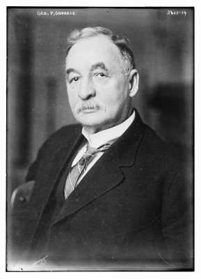
Orleans, decade by decade
Then & now
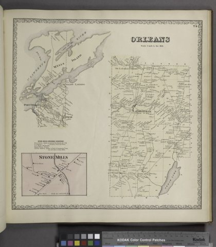
No then-and-now pairs yet. Take a photo from the same spot as Orleans (Village); Orleans (Township); Stone Mills Business Directory.; Stone Mills (Village); (1864) and it appears here side by side.
🔁 Retake this view · +15Historic places
National Register · via Wikidata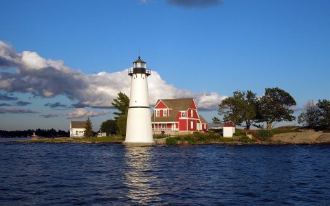
From Wikimedia Commons (4) and the National Register (2). Images are copied here with their credits and licenses, shown on each photo’s page. Refreshed monthly.