The story
from WikipediaRead it all ↗The town of North East takes its name from its position in the county.
Part of the town was from the Great Nine Partners Patent of 1697, and part was from the Little Nine Partners Patent of 1706. The town was first settled by people from Connecticut, who located here from 1725–30, in a separate area called "The Oblong", which was not part of the Patent.
The Town of Northeast was formed in 1788. Parts of the town were taken to form the towns of Milan (1818) and Pine Plains (1823).
Text from Wikipedia, licensed CC BY-SA 4.0.
Start North East’s collection
The first neighbors to add old photos shape how North East’s history is told.
0 of 10 decades since 1900 have photos 🔁Retake an old viewIrondale (Village); Millerton (Vi…, 1876: stand where they stood+15 📦Share a family photoSign in to add one+10North East, decade by decade
Then & now
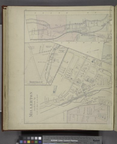
No then-and-now pairs yet. Take a photo from the same spot as Irondale (Village); Millerton (Village); North East (Township) (1876) and it appears here side by side.
🔁 Retake this view · +15Historic places
National Register · via Wikidata
From Wikimedia Commons (4) and the National Register (1). Images are copied here with their credits and licenses, shown on each photo’s page. Refreshed monthly.