The story
from WikipediaRead it all ↗Archaeological remains show the presence of aboriginal natives in the town.
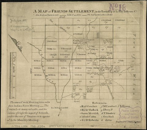
The region was part of Macomb's Purchase and was acquired by Gouverneur Morris and James Le Ray in 1800. Settlement began around 1802.
The town was formed in 1806 from the town of Brownville and included a large portion of northern Jefferson County. Parts of the town were used to create the towns of Wilna, Alexandria, Theresa, Antwerp, and Philadelphia.
Many of the historic settlements of the town were abandoned due to the formation of Fort Drum, which occupies the eastern half of the town.
The LeRaysville Archeological District was listed on the National Register of Historic Places in 1995.
Text from Wikipedia, licensed CC BY-SA 4.0.
Timeline
built from the dates on the items belowStart Le Ray’s collection
The first neighbors to add old photos shape how Le Ray’s history is told.
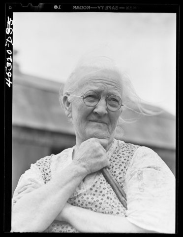
1 of 10 decades since 1900 have photos 🔁Retake an old viewMrs. Carrie E. Loadwick, lifelong…, 1941: stand where they stood+15 📦Share a family photoSign in to add one+10Le Ray, decade by decade
1990s
Then & now
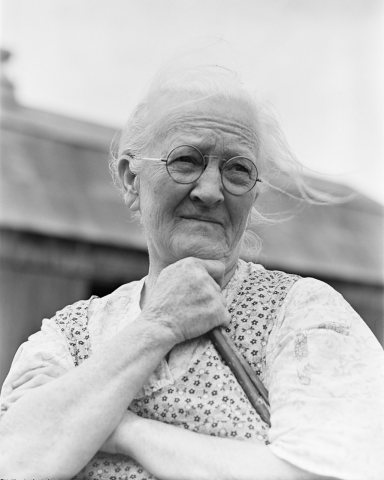
No then-and-now pairs yet. Take a photo from the same spot as Mrs. Carrie E. Loadwick, lifelong resident of area being taken over by the Army, who is moving to the town of Adams. Le… (1941) and it appears here side by side.
🔁 Retake this view · +15Stories next door
nearby towns’ historyFrom Wikimedia Commons (3). Images are copied here with their credits and licenses, shown on each photo’s page. Refreshed monthly.