A history of Inlet,
then and now
Postcards, papers and photographs of Inlet from public archives, woven together by decade. Neighbors fill in the gaps.
The story
from WikipediaRead it all ↗The area developed to serve the needs of sportsmen after the middle of the 19th century, and was known as the "Inlet on Fourth Lake". The town of Inlet was formed in 1901 from the north part of the town of Morehouse. In 1901, the community of Inlet set itself off as a village by incorporation but has since abandoned that status.
Text from Wikipedia, licensed CC BY-SA 4.0.
Timeline
built from the dates on the items belowFinish Inlet’s story
Most archives stop around 1920. The photos from after that are in family albums, not libraries.
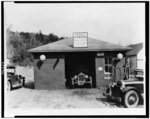
2 of 10 decades since 1900 have photos 🔁Retake an old viewSearl's garage and service station, 1910: stand where they stood+15 📦Share a family photoSign in to add one+10Inlet, decade by decade
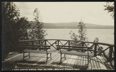
1960s
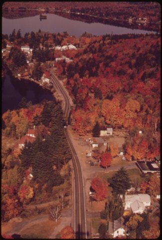 CommonsAERIAL VIEW OF THE VILLAGE OF INLET, NEW YORK, TYPICAL SMAL…1973
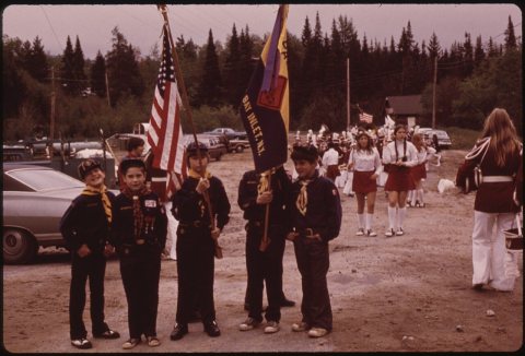 CommonsBOY SCOUT TROOPS READY FOR MEMORIAL DAY PARADE AT THE LITTL…1973
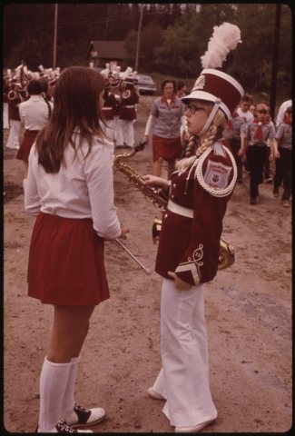 CommonsCHEERLEADER CHATS WITH HIGH SCHOOL BAND LEADER BEFORE MEMOR…1973
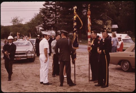 CommonsCITIZENS OF INLET, NEW YORK, PREPARE FOR MEMORIAL DAY PARADE1973
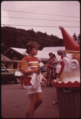 CommonsCLOWN-TOPPED GARBAGE CAN IS USED AT AN ICE CREAM STAND IN I…1973
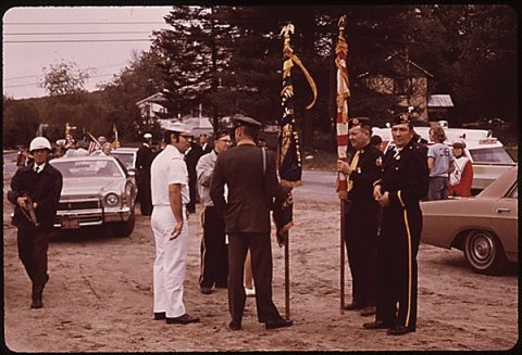 CommonsCitizens of Inlet New York Prepare for Memorial Day Parade …1973
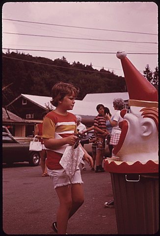 CommonsClown Top Garbage Can Inlet New York 19731973
1990s
Then & now
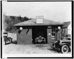
No then-and-now pairs yet. Take a photo from the same spot as Searl's garage and service station (1910) and it appears here side by side.
🔁 Retake this view · +15Stories next door
nearby towns’ historyFrom Wikimedia Commons (8) and the Library of Congress (4). Images are copied here with their credits and licenses, shown on each photo’s page. Refreshed monthly.