Save town Compare Needs More Love
Town guide

Hillsdale

A town of 1,795 people in Columbia County, New York
Be the first to joinEarn karma for joining →
1

Now in Hillsdale

What’s happening this week

All posts →
From your neighbors

What’s happening

A preview of what neighbors share. Be the first to post in Hillsdale.

Weather

Forecast →
Coming up

Upcoming events

Nothing on the calendar yet

Put the next local happening — a market, a meeting, a concert — on the map.

Add an event →
Around town

Local news

All news →

Headlines via Google News · Articles belong to their publishers.

2

Around town

The places and views that make it Hillsdale

Explore places →
3

Know Hillsdale

The town at a glance, and the guide to how things work

Open the full guide →

About Hillsdale

Town in New York, United States
1,831Population
47.9 sq miArea
961 ftElevation

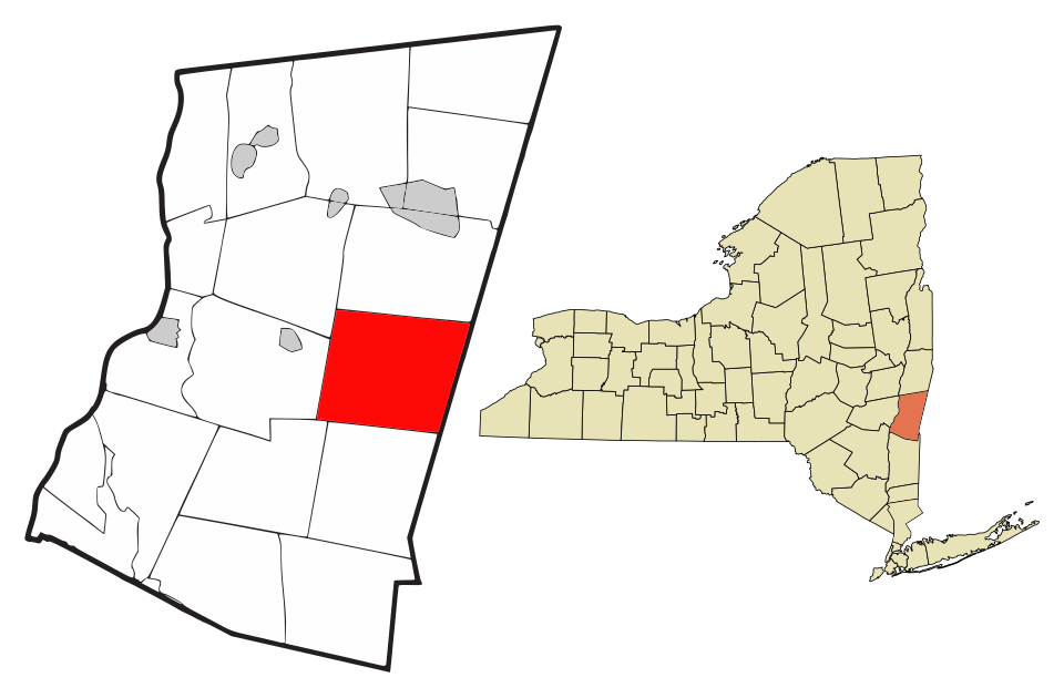
Hillsdale is a town in eastern Columbia County, New York, near the New York - Massachusetts border and Great Barrington, Massachusetts. New York state routes 22 and 23 intersect near the town center, which is listed on the National Register of Historic Places. The town has several restaurants and a general store, among other businesses. Hillsdale is known for its hilly landscape and is near Bash Bish Falls, Taconic State Park, and the Catamount Ski Area. The Harlem Valley Rail Trail, a 26-mile bike path in two sections, is located not far from the intersection of routes 22 and 23.

From Wikipedia, licensed CC BY-SA 4.0 · facts via Wikidata (CC0)

Town numbers

ZIP code12529
Area code518
Famous people from HillsdaleWriters, athletes, leaders and more who were born in Hillsdale.Meet them →

Schools in Hillsdale

In the guide →
Schools1

School data from the U.S. Department of Education (NCES). Ratings are from neighbors.

How things work in Hillsdale

All explainers →
You’re browsing

Hillsdale

New York · NY · Columbia County
View town boundary →
Township / city / CDP overlaps possible.
Loading boundary…

Hillsdale is your selected town. The feed includes posts assigned to this town, not a distance radius or ZIP code.

Neighborhoods narrow the feed further, while townwide announcements, events, and issues remain visible.

Boundary source: https://tigerweb.geo.census.gov/arcgis/rest/services/TIGERweb/Places_CouSub_ConCity_SubMCD/MapServer/15 · 2025-01-01