Georgetown’s history is
mostly unwritten
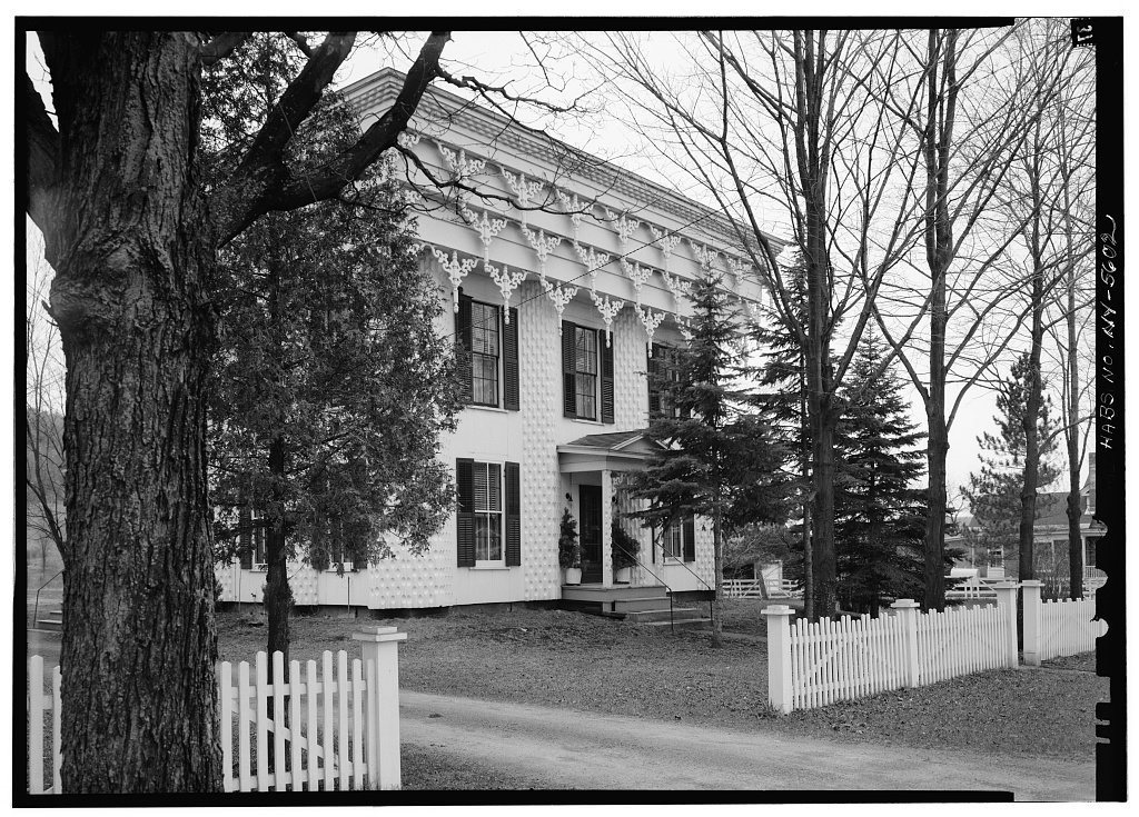
The public archives hold only 2 old photos of Georgetown. The rest are in attics, shoeboxes and the historical society. Help start the collection.
The story
from WikipediaRead it all ↗The town was one of the Twenty Townships, and in 1793 ownership of the tract was patented to Thomas Ludlow Jr. It was first settled in 1803, and for its first years was known as "Slab City". Georgetown was formally organized from part of the town of DeRuyter in 1815.
A reputed French nobleman constructed a house near Georgetown in 1808, on what became known as Muller Hill, before he abandoned the land in 1816. The house burnt down in the early 20th-century, and the land was later developed as a State Forest.
Text from Wikipedia, licensed CC BY-SA 4.0.
Start Georgetown’s collection
The first neighbors to add old photos shape how Georgetown’s history is told.
0 of 10 decades since 1900 have photos 🗓️Date a photo1 archive item has no date+2 🔁Retake an old viewTown of Georgetown Business Notic…, 1875: stand where they stood+15 📦Share a family photoSign in to add one+10Georgetown, decade by decade
unknown1 item
Then & now
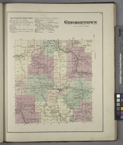
No then-and-now pairs yet. Take a photo from the same spot as Town of Georgetown Business Notices.; Georgetown (Township) (1875) and it appears here side by side.
🔁 Retake this view · +15Stories next door
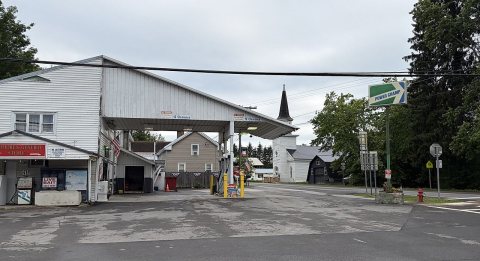
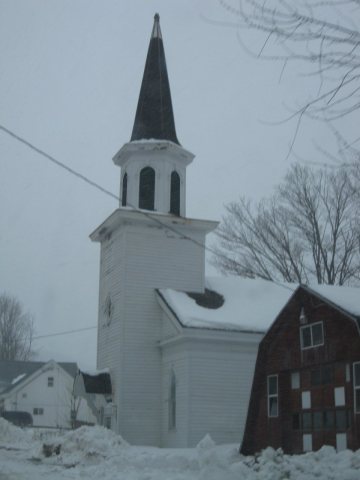
nearby towns’ historyFrom Wikimedia Commons (3) and the Library of Congress (1). Images are copied here with their credits and licenses, shown on each photo’s page. Refreshed monthly.