The story
from WikipediaRead it all ↗The town of Ellington was formed on April 1, 1824, from the town of Gerry, and Cherry Creek was taken off on May 4, 1829. The first real settlement in the area was towards the northeast part of the town. The first settler to this area was Joshua Bentley, who purchased part of lot 7 in 1814, and part of lot 6 in 1815. Once the town was officially formed in 1824, the first town meeting was held on March 1, 1825, at the house of Lucretia French, in the north part of town. The first religious services were held at the house of James Bates in 1817 by Rev. Daniel Hadley.
Text from Wikipedia, licensed CC BY-SA 4.0.
Start Ellington’s collection
The first neighbors to add old photos shape how Ellington’s history is told.
0 of 10 decades since 1900 have photos 🔁Retake an old viewDelanti (Village); Ellington (Tow…, 1867: stand where they stood+15 📦Share a family photoSign in to add one+10Ellington, decade by decade
Then & now
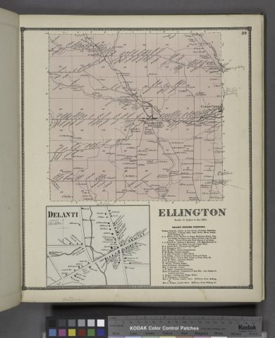
No then-and-now pairs yet. Take a photo from the same spot as Delanti (Village); Ellington (Township); Delanti Business Directory (1867) and it appears here side by side.
🔁 Retake this view · +15Stories next door
nearby towns’ historyFrom Wikimedia Commons (2). Images are copied here with their credits and licenses, shown on each photo’s page. Refreshed monthly.