The story
from WikipediaRead it all ↗The town was formed in 1799 before Franklin County was established, from parts of the towns of Champlain and Plattsburgh. By 1802, Chateaugay comprised most of Franklin County. Subsequently, its territory was reduced to form other towns. The town of Malone was set off from Chateaugay in 1805. When Franklin County was established from Clinton County, part of Chateaugay remained in Clinton County. The town of St. Armand was taken off in 1822 and placed in Essex County. The remaining three towns derived from Chateaugay remained in Franklin County: Bellmont (1833) and Franklin (taken from Bellmont in 1834), and Burke (1844).
Text from Wikipedia, licensed CC BY-SA 4.0.
Timeline
built from the dates on the items belowStart Chateaugay’s collection
The first neighbors to add old photos shape how Chateaugay’s history is told.
0 of 10 decades since 1900 have photos 🔁Retake an old viewChateaugay (Township), 1876: stand where they stood+15 📦Share a family photoSign in to add one+10Famous people from Chateaugay
See all 6 →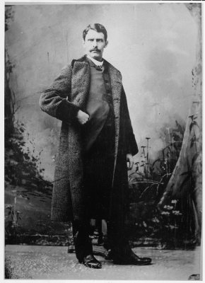

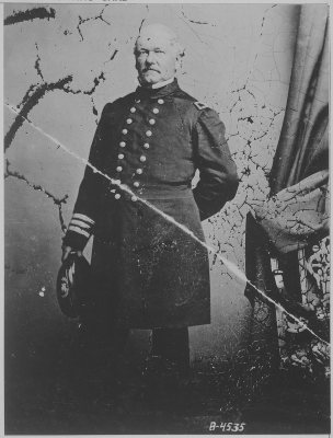
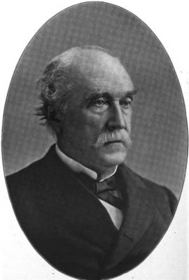
Chateaugay, decade by decade
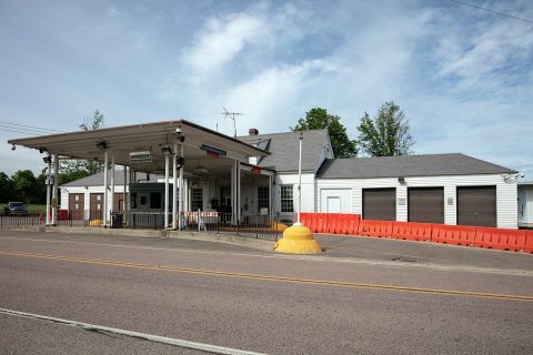
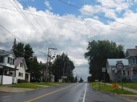
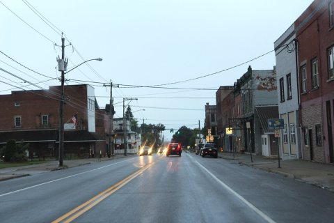
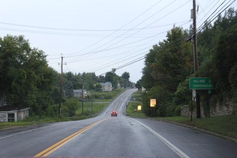
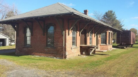
Then & now
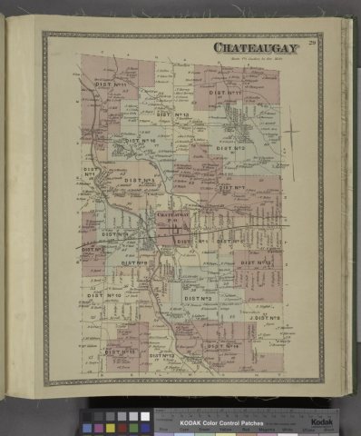
No then-and-now pairs yet. Take a photo from the same spot as Chateaugay (Township) (1876) and it appears here side by side.
🔁 Retake this view · +15Stories next door
nearby towns’ historyFrom Wikimedia Commons (5) and the Library of Congress (1). Images are copied here with their credits and licenses, shown on each photo’s page. Refreshed monthly.