Cato’s history is
mostly unwritten
The public archives hold just one old photo of Cato. The rest are in attics, shoeboxes and the historical society. Help start the collection.
The story
from WikipediaRead it all ↗The town was in the Central New York Military Tract, reserved for veterans of the American Revolution. Settlers trickled in during the early 19th century. After the War of 1812, the population increased more quickly.
The town was formed in 1802 from part of the town of Aurelius. Cato was subsequently reduced in size when new towns were formed: Sterling in 1812, and in 1821 Conquest, Ira, and Victory. Part of the town of Ira was returned to Cato in 1824.
Text from Wikipedia, licensed CC BY-SA 4.0.
Timeline
built from the dates on the items belowStart Cato’s collection
The first neighbors to add old photos shape how Cato’s history is told.
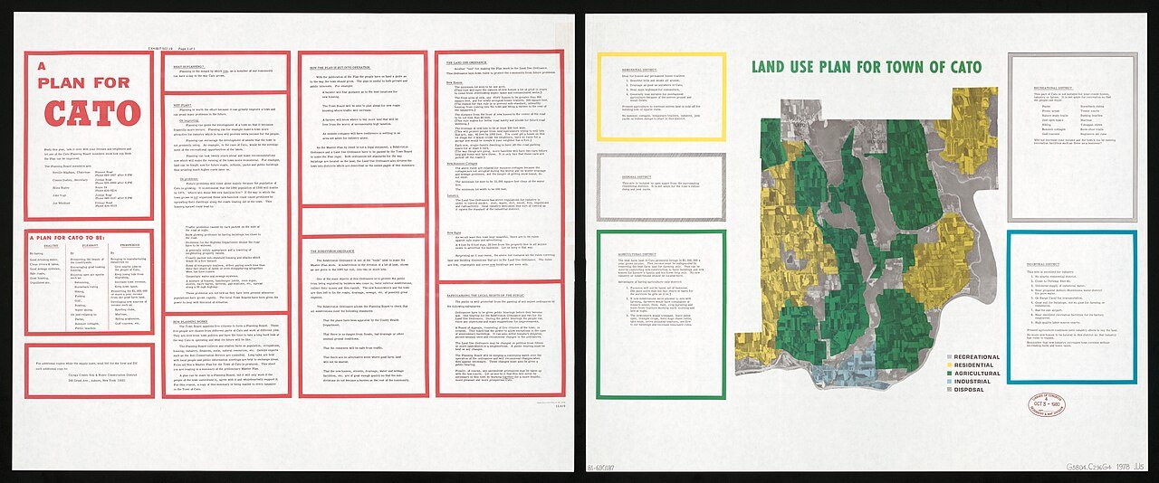
1 of 10 decades since 1900 have photos 🔁Retake an old viewLand use plan for town of Cato, 1978: stand where they stood+15 📦Share a family photoSign in to add one+10Cato, decade by decade
1990s
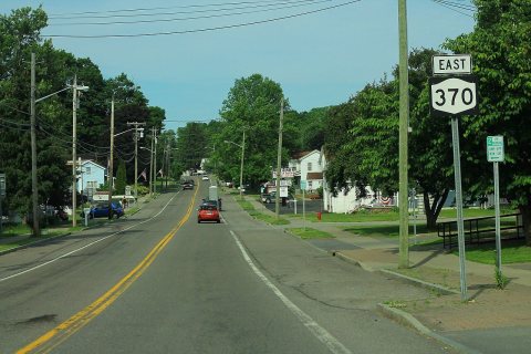




Then & now
No then-and-now pairs yet. Take a photo from the same spot as Land use plan for town of Cato (1978) and it appears here side by side.
🔁 Retake this view · +15Stories next door
nearby towns’ historyFrom Wikimedia Commons (6). Images are copied here with their credits and licenses, shown on each photo’s page. Refreshed monthly.