The story
from WikipediaRead it all ↗Purchase rights to the Native American lands in the area were awarded to the Commonwealth of Massachusetts as part of the Boston Ten Townships, by the Treaty of Hartford in 1786. (New York retained the right to govern the land.) Massachusetts sold these rights to private individuals in 1788.
The first settlers arrived around 1791. It was originally called "Browns Settlement."
The Town of Berkshire was established in 1808 from the Town of Union while in Broome County. In 1822, Berkshire was made part of Tioga County. The Town of Newark Valley, as the "Town of Westfield," was created from part of Berkshire in 1828. An additional part of Berkshire was lost in 1831, to found the Town of Richford, then called "Arlington."
Text from Wikipedia, licensed CC BY-SA 4.0.
Start Berkshire’s collection
The first neighbors to add old photos shape how Berkshire’s history is told.
0 of 10 decades since 1900 have photos 📦Share a family photoSign in to add one+10Berkshire, decade by decade
2000
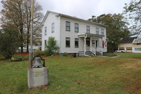
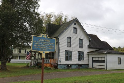
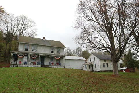
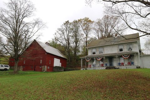
Then & now
When neighbors add old photos, retakes from the same spot appear here side by side.
Stories next door
nearby towns’ historyFrom Wikimedia Commons (5). Images are copied here with their credits and licenses, shown on each photo’s page. Refreshed monthly.