The story
from WikipediaRead it all ↗The Town of Bennington was formed in 1818 from the Town of Sheldon. The Town of Bennington officially came into existence on March 6, 1818. The name came from Bennington, Vermont.
This narrative was written by Alma Janish, a former Town Historian, archived from the original on July 7, 2011:
"In 1802, the land of Bennington was part of the Town of Batavia, Genesee County. Then in 1808, the land was taken from the Town of Batavia, to form the Town of Sheldon. Finally, on March 6, 1818, the land of Bennington was taken from Sheldon to form the Town of Bennington.
In the summer of 1802, John Tolles settled in Bennington. He settled in the area known over the years as Hubbard's Corners, Danley's Corners and the "Beehive".
Text from Wikipedia, licensed CC BY-SA 4.0.
Start Bennington’s collection
The first neighbors to add old photos shape how Bennington’s history is told.
0 of 10 decades since 1900 have photos 📦Share a family photoSign in to add one+10Bennington, decade by decade
2000
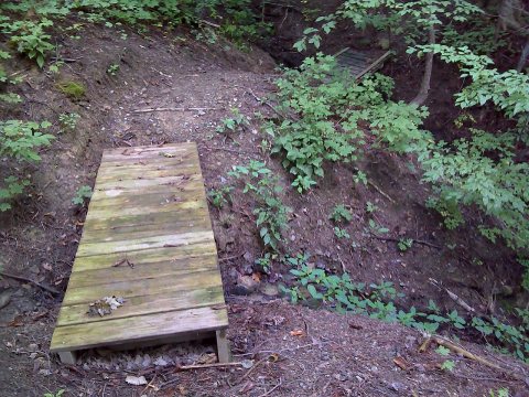 CommonsFLT CT07 15.62 mi - Two puncheons, (1) 1x6x28 deck, 8' long…2011
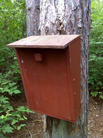 CommonsFLT CT07 15.6 mi - Register S of Getman Rd2011
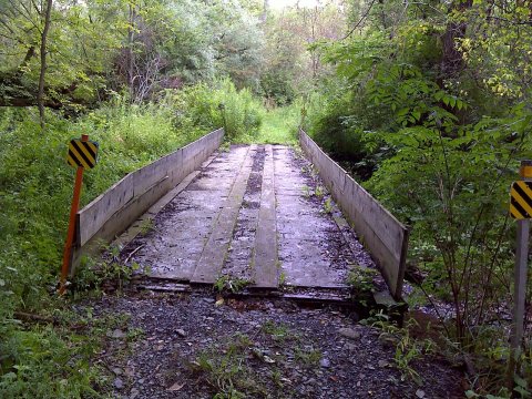 CommonsFLT CT07 14.8 mi - Large farm bridge over Red Brook, not ma…2011
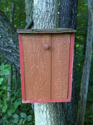 CommonsFLT M06 12.1 mi - Register near Camp Rd2010
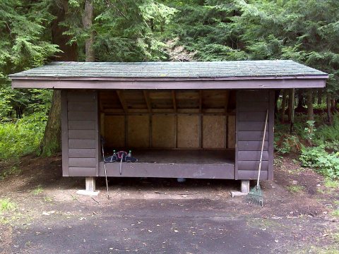 CommonsFLT M06 12.0, 0.1 on blue spur mi - Shelter at Camp Sam Woo…2010
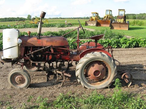 CommonsTragschlepper seitlich2009
Then & now
When neighbors add old photos, retakes from the same spot appear here side by side.
From Wikimedia Commons (6). Images are copied here with their credits and licenses, shown on each photo’s page. Refreshed monthly.