A history of Antwerp,
then and now
Postcards, papers and photographs of Antwerp from public archives, woven together by decade. Neighbors fill in the gaps.
The story
from WikipediaRead it all ↗Settlement began circa 1803 near what is now Oxbow. The town was created from part of the town of Le Ray in 1810. In 1855, the town had the second largest number of cows in New York.
Text from Wikipedia, licensed CC BY-SA 4.0.
Timeline
built from the dates on the items belowFinish Antwerp’s story
Most archives stop around 1920. The photos from after that are in family albums, not libraries.
2 of 10 decades since 1900 have photos 🔁Retake an old viewAntwerp (Village); La Fargeville …, 1864: stand where they stood+15 📦Share a family photoSign in to add one+10Famous people from Antwerp
See all 5 →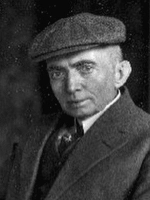
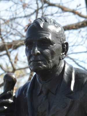
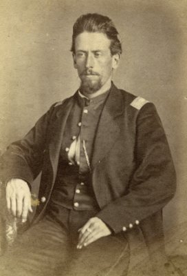
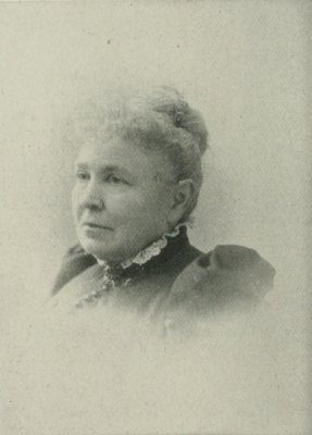
Antwerp, decade by decade
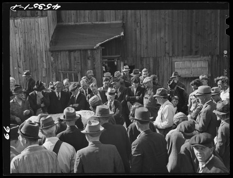
1990s
Then & now
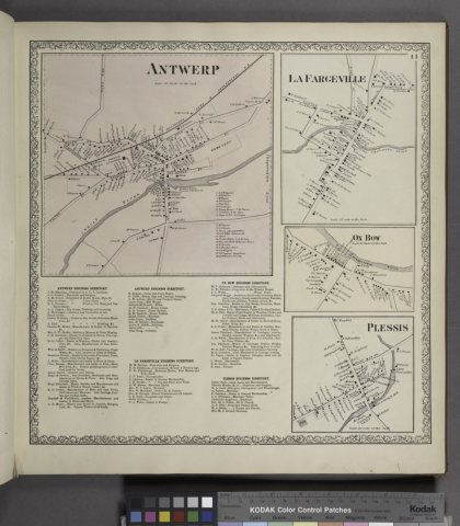
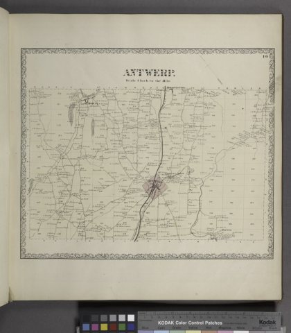
No then-and-now pairs yet. Take a photo from the same spot as Antwerp (Village); La Fargeville (Village); Ox Bow (Village); Antwerp Business Directory.; Antwerp Business Directory.;… (1864) and it appears here side by side.
🔁 Retake this view · +15Stories next door
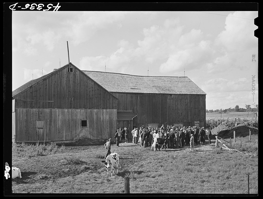
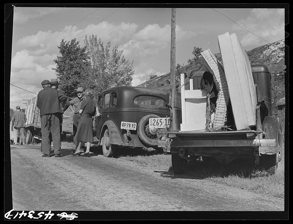
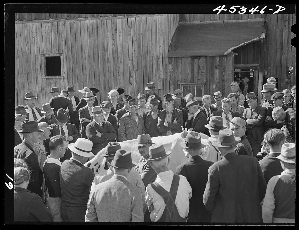
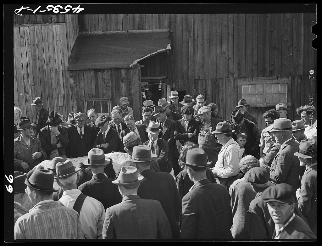
nearby towns’ historyFrom Wikimedia Commons (2) and the Library of Congress (4). Images are copied here with their credits and licenses, shown on each photo’s page. Refreshed monthly.