The story
from WikipediaRead it all ↗The Tribes once freely occupied the land in the tri-state area of what is now Idaho, Nevada, and Oregon. This changed with the coming of migrants from the eastern United States and Europe, especially after the mid-19th century. Land and resources were wrested away from the Shoshone and Paiute. The tribes made treaties with the United States, of which some were ratified by the Senate and others not. The chiefs signed all the treaties in good faith and for the survival of their peoples.
Descendants of the Western Shoshone and the Northern Paiute occupy the Duck Valley Indian Reservation of Idaho and Nevada. Various bands of the two closely related tribes have jointly used the area for seasonal hunting and gathering from time immemorial.
Text from Wikipedia, licensed CC BY-SA 4.0.
Start Owyhee’s collection
The first neighbors to add old photos shape how Owyhee’s history is told.
0 of 10 decades since 1900 have photos 📦Share a family photoSign in to add one+10Owyhee, decade by decade
2000
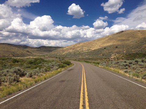 Commons2014-08-19 14 17 28 View north along Nevada State Route 225…2014
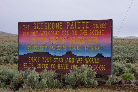 Commons2014, What's Your Sign2014
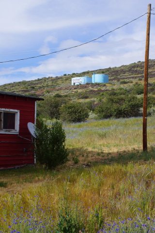 Commons2014, Water Tank, Duck Valley Sho-Pai2014
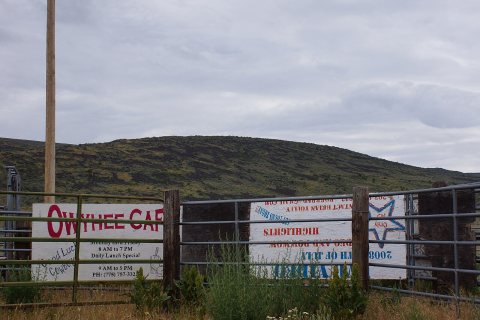 Commons2014, Waiting for the 4th of July2014
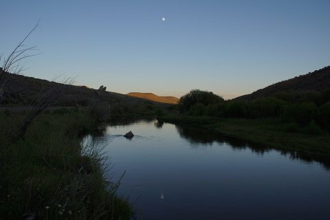 Commons2014, The Owyhee River2014
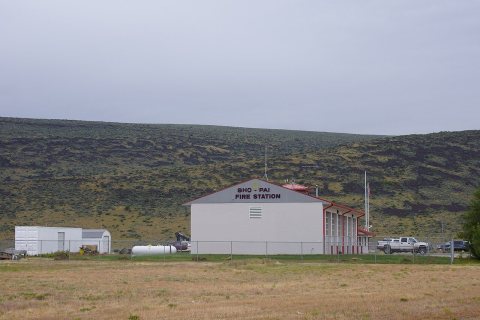 Commons2014, Sho-Pai Fire Station2014
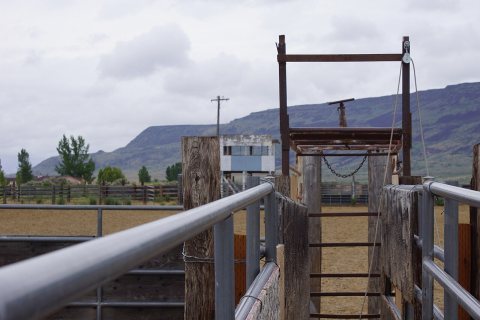 Commons2014, Roping Steer's View of the World2014
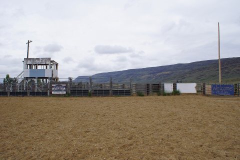 Commons2014, Owyhee Rodeo Grounds2014
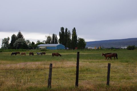 Commons2014, Owyhee Horses2014
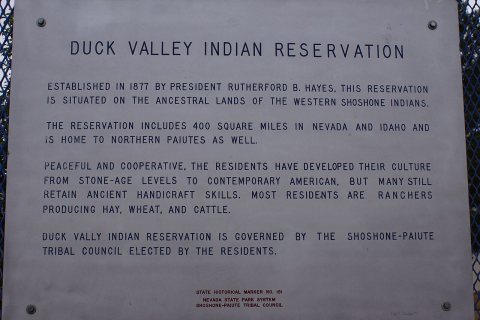 Commons2014, About the region's earliest residents2014
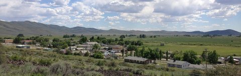 Commons2013-06-16 15 10 39 View of central Owyhee in Nevada from t…2013
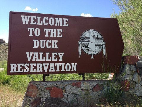 Commons2013-06-16 14 24 38 Entrance sign to Duck Valley Reservatio…2013
Then & now
When neighbors add old photos, retakes from the same spot appear here side by side.
From Wikimedia Commons (12). Images are copied here with their credits and licenses, shown on each photo’s page. Refreshed monthly.