Santa Clara’s history is
mostly unwritten
The public archives hold only 3 old photos of Santa Clara. The rest are in attics, shoeboxes and the historical society. Help start the collection.
The story so far
from Wikipedia & the U.S. CensusSanta Clara is a village in Grant County, New Mexico, United States. As of the 2020 census, Santa Clara had a population of 1,637. Today it is a bedroom community for nearby Silver City.
Between the 2010 and 2020 censuses its population fell from 1,686 to 1,637 (-3%). Half of its homes were built before 1966.
Wikipedia doesn’t have a history of Santa Clara yet — the old photos, dates and memories neighbors add here are how it gets written.
Intro from Wikipedia, licensed CC BY-SA 4.0. Population and housing: U.S. Census Bureau.
Timeline
built from the dates on the items belowStart Santa Clara’s collection
The first neighbors to add old photos shape how Santa Clara’s history is told.
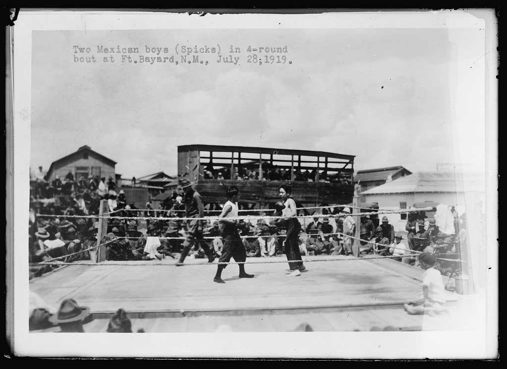
1 of 10 decades since 1900 have photos 🔁Retake an old viewTwo Mexican boys (spicks) in 4-ro…, 1919: stand where they stood+15 📦Share a family photoSign in to add one+10Famous people from Santa Clara
See all 1 →Santa Clara, decade by decade
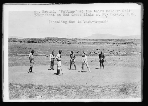
1990s
1 historic place in Santa Clara
Santa Clara has 1 listing on the National Register, and they protect 70 historic buildings, because Fort Bayard Historic District alone counts 70. One is a National Historic Landmark, the highest tier, which fewer than 3% of listings reach.
Where they are
When they were listed

Then & now
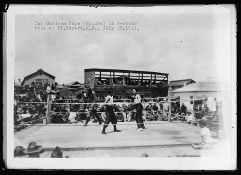
No then-and-now pairs yet. Take a photo from the same spot as Two Mexican boys (spicks) in 4-round bout at Ft. Bayard, N.M (1919) and it appears here side by side.
🔁 Retake this view · +15Stories next door
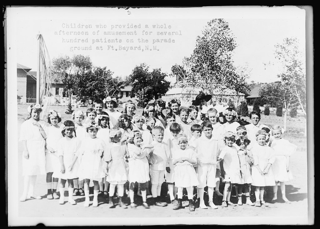
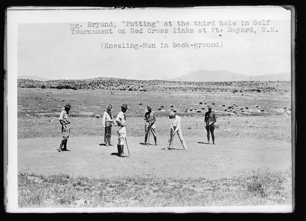
nearby towns’ historyFrom the Library of Congress (3). Images are copied here with their credits and licenses, shown on each photo’s page. Refreshed monthly.