The story
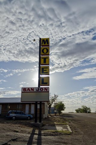
from WikipediaRead it all ↗The village was founded in 1902 and grew after the arrival of the railroad in 1904. It was once an important local commercial center and stop on U.S. Route 66 and home to numerous tourist-oriented businesses, such as gasoline service stations, cafes, and motels. However, when Interstate 40 bypassed the village in 1981, the local economy declined, leading most of those businesses to shut down. Today, only one motel is still in operation, and all of the gas stations and dining establishments are centered around the I-40 interchange on the north side of town. Former establishments include The Old Route 66 Truck and Auto Parts garage, Smith's Café, and the Circle M Motel.
Text from Wikipedia, licensed CC BY-SA 4.0.
Start San Jon’s collection
The first neighbors to add old photos shape how San Jon’s history is told.
0 of 10 decades since 1900 have photos 📦Share a family photoSign in to add one+10Famous people close to San Jon
See all 7 →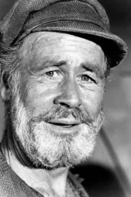
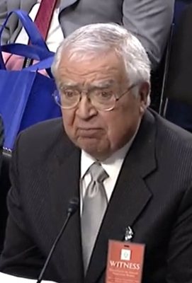
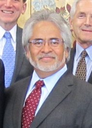
San Jon, decade by decade
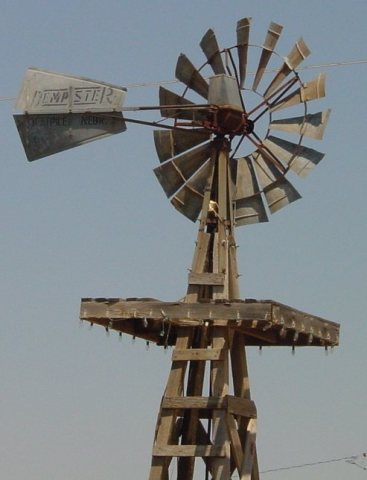
2000
Nothing in San Jon is on the National Register yet
That’s true of most small towns. It doesn’t mean San Jon has no history, only that no one has written up a nomination. The closest listed place is Route 66, State maintained from San Jon to Tucumari in San Jon, 5.8 miles away.
San Jon and the nearest listed places
Closest to San Jon


How a place gets listed
Then & now
When neighbors add old photos, retakes from the same spot appear here side by side.
Stories next door
nearby towns’ historyFrom Wikimedia Commons (5). Images are copied here with their credits and licenses, shown on each photo’s page. Refreshed monthly.