The story so far
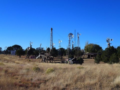
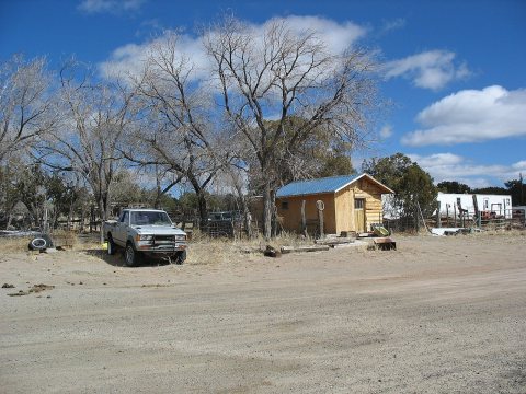
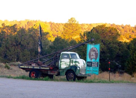
from Wikipedia & the U.S. CensusPie Town is an unincorporated community and census-designated place located along U.S. Highway 60 in Catron County, New Mexico. As of the 2020 census, Pie Town had a population of 166. Pie Town has been noted for its unusual name. Pie Town is the location of a "Pie Festival" on the second Saturday of each September. Pie Town is located immediately north of the Gila National Forest and not very far west of the Plains of San Agustin, the location of the Very Large Array radio telescope, which is also located along U.S. 60. In addition, one of the ten large radio antennas that form the Very Long Baseline Array of the National Radio Astronomy Observatory can be seen from U.S. 60, just east of P…
Between the 2010 and 2020 censuses its population fell from 186 to 166 (-11%). Half of its homes were built before 1996.
Wikipedia doesn’t have a history of Pie yet — the old photos, dates and memories neighbors add here are how it gets written.
Intro from Wikipedia, licensed CC BY-SA 4.0. Population and housing: U.S. Census Bureau.
Start Pie’s collection
The first neighbors to add old photos shape how Pie’s history is told.
0 of 10 decades since 1900 have photos 📦Share a family photoSign in to add one+10Pie, decade by decade
2000



Nothing in Pie is on the National Register yet
That’s true of most small towns. It doesn’t mean Pie has no history, only that no one has written up a nomination. The closest listed place is Mangas Mountain Lookout Complex in Aragon, 21.7 miles away.
Pie and the nearest listed places
Closest to Pie
How a place gets listed
Then & now
When neighbors add old photos, retakes from the same spot appear here side by side.
From Wikimedia Commons (6). Images are copied here with their credits and licenses, shown on each photo’s page. Refreshed monthly.