
Los Lunas’s history is
mostly unwritten
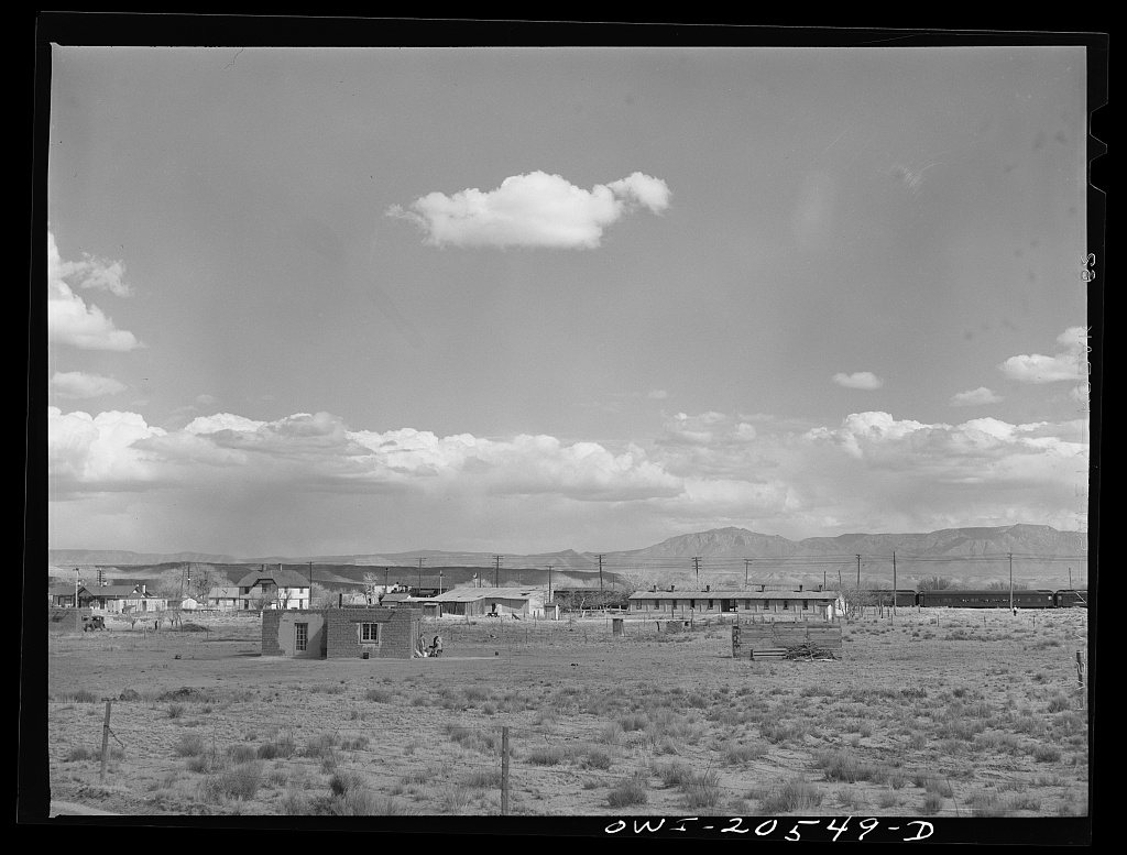
The public archives hold only 4 old photos of Los Lunas. The rest are in attics, shoeboxes and the historical society. Help start the collection.
The story
from WikipediaRead it all ↗The original land grant was made to Don Adrian Luna Candelaria in 1716, but within two years it was given to the Luna family. Some Civil War battles were fought near the village. Los Lunas became the county seat in 1876 and became an incorporated village in 1928. The Los Lunas Decalogue Stone is located nearby.
A United States Army Air Forces bombing range, used by elements of the 509th Bomb Wing out of Kirtland Army Air Field, later Kirtland Air Force Base, was located here during and after World War II.
Los Lunas and its surrounding communities were impacted by the Desert Willow Complex Fire, which burned multiple homes in the Carson Park district as well as injuring over a dozen people.
Text from Wikipedia, licensed CC BY-SA 4.0.
Timeline
built from the dates on the items belowStart Los Lunas’s collection
The first neighbors to add old photos shape how Los Lunas’s history is told.
2 of 10 decades since 1900 have photos 🔁Retake an old viewLos Lunas, New Mexico. A westboun…, 1943: stand where they stood+15 📦Share a family photoSign in to add one+10Famous people from Los Lunas
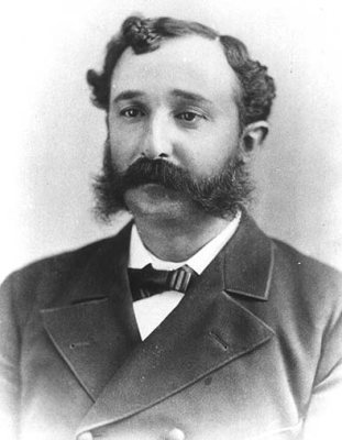
See all 4 →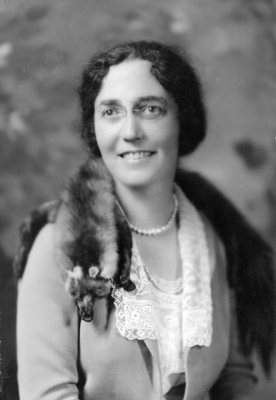
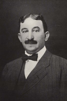
Los Lunas, decade by decade
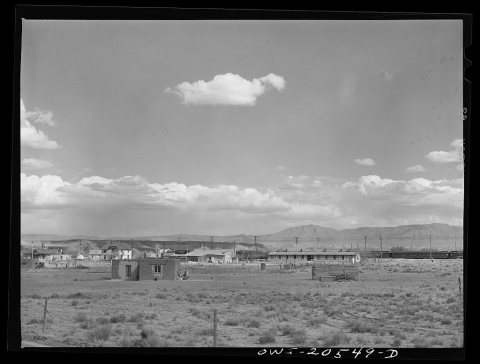
1970s


1990s
Then & now
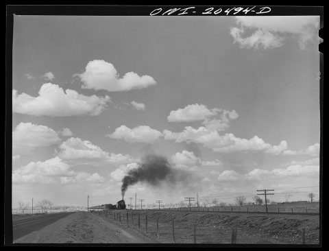
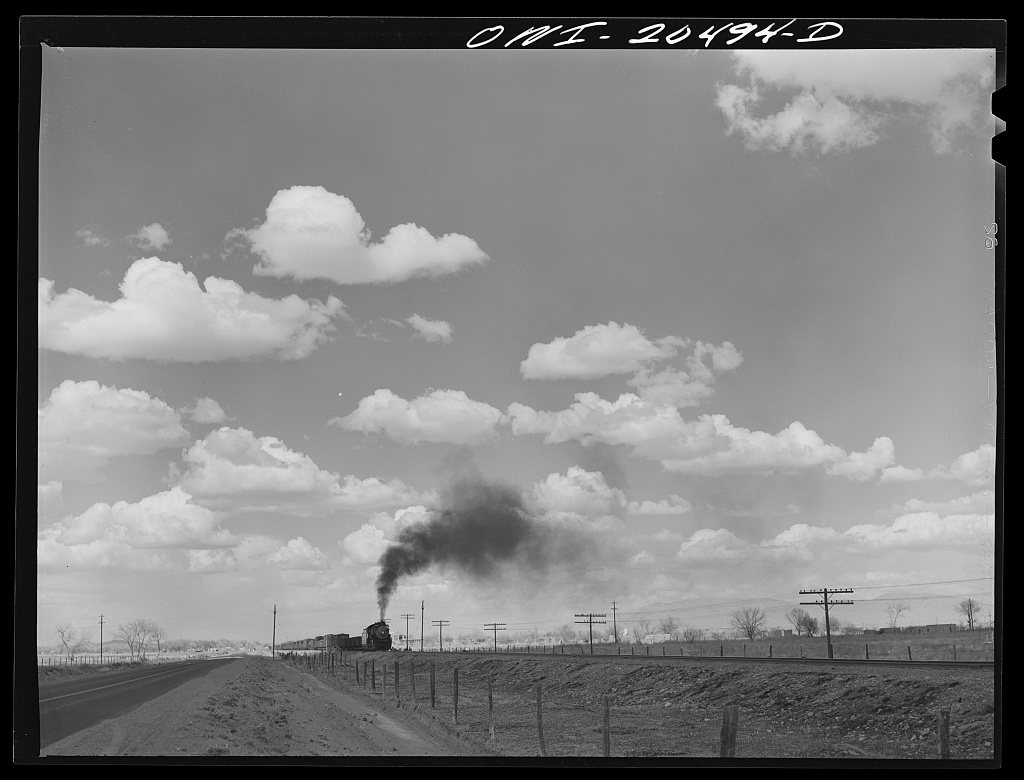
No then-and-now pairs yet. Take a photo from the same spot as Los Lunas, New Mexico. A westbound Atchison, Topeka and Santa Fe Railroad freight train out of Albuquerque, New Mexico (1943) and it appears here side by side.
🔁 Retake this view · +15Historic places
National Register · via Wikidata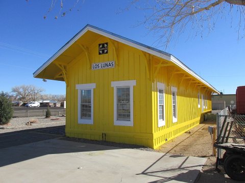
From Wikimedia Commons (2), the Library of Congress (2) and the National Register (2). Images are copied here with their credits and licenses, shown on each photo’s page. Refreshed monthly.