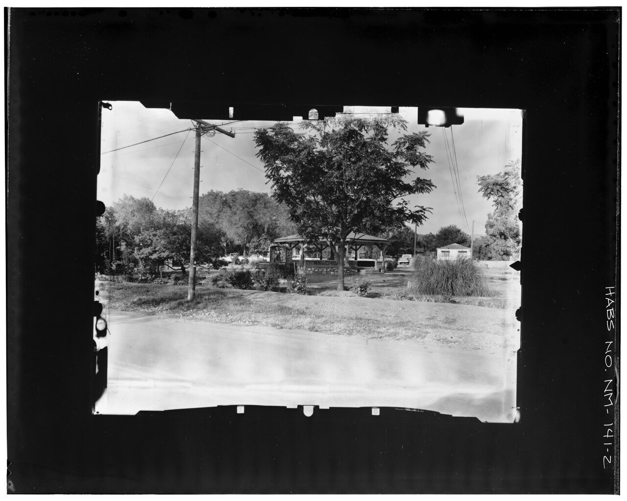
La Luz’s history is
mostly unwritten
The public archives hold only 2 old photos of La Luz. The rest are in attics, shoeboxes and the historical society. Help start the collection.
The story
from WikipediaRead it all ↗Native Americans lived in the area for thousands of years prior to the arrival of the Spanish in the late 16th Century. The Mescalero Apache homelands covered an area of south-central New Mexico including the Sacramento Mountains and the Tularosa Basin. Today, the ancestral homelands of the Apache have been reduced to those lands contained in the Mescalero Apache Reservation, approximately 30 miles northeast of La Luz. There is some dispute over the founding of La Luz. By some accounts, it was founded by Franciscan friars as early as the 18th Century and called Nuestra Señora De La Luz (Our Lady of the Light). Early maps of the area include this notation and La Luz Canyon may have served as an early pass over the Sacramento Mountains connecting with the Peñasco river, which eventually flows into the Pecos River near present-day Artesia, New Mexico. The Sacramento Mountains reach a heigh…
Text from Wikipedia, licensed CC BY-SA 4.0.
Timeline
built from the dates on the items belowStart La Luz’s collection
The first neighbors to add old photos shape how La Luz’s history is told.
1 of 10 decades since 1900 have photos 🔁Retake an old viewAERIAL VIEW Copy photograph of ph…, 1976: stand where they stood+15 📦Share a family photoSign in to add one+10Famous people from La Luz
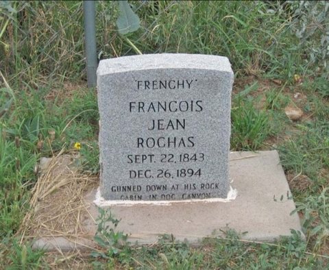
See all 4 →La Luz, decade by decade
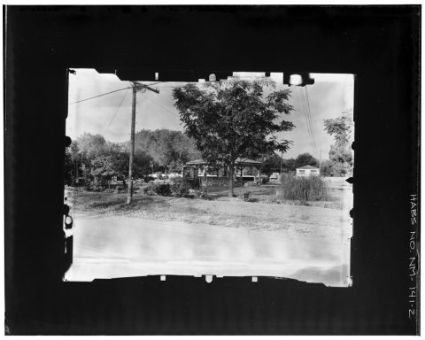
1990s
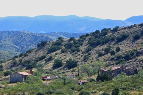
5 historic places in La Luz
La Luz has 5 listings on the National Register, and they protect 36 historic buildings, because La Luz Historic District alone counts 27.
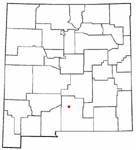
Where they are
When they were listed
 Listed 1979La Luz Pottery Factory (Additional Documentation)
 Listed 1980D. H. Sutherland House
 Listed 1980La Luz Historic District
 Listed 1980Queen Anne HouseListed 1980Juan Garcia House
Then & now
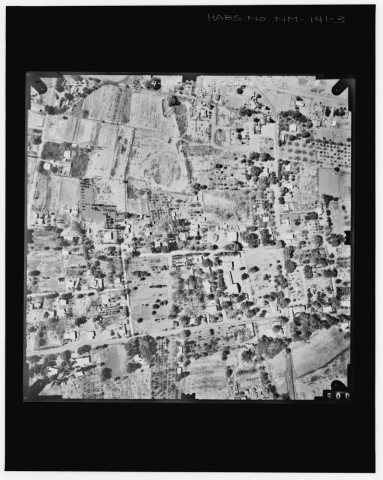
No then-and-now pairs yet. Take a photo from the same spot as AERIAL VIEW Copy photograph of photogrammetric plate LC-HABS-GS01-B-1976-704. - Town of La Luz, La Luz Canyon Creek, Al… (1976) and it appears here side by side.
🔁 Retake this view · +15Stories next door
nearby towns’ historyFrom Wikimedia Commons (6). Images are copied here with their credits and licenses, shown on each photo’s page. Refreshed monthly.