A history of Fort Wingate,
since 1862
Postcards, papers and photographs of Fort Wingate from public archives, woven together by decade. Neighbors fill in the gaps.
The story
from WikipediaRead it all ↗Ojo del Oso (in Spanish meaning "Eye of the Bear" or "Bear Spring") was a Navajo place visited for good grazing and water.
1849: A hay camp was set up near Seboyeta, New Mexico and was called Fort Wingate. It was named for Major Benjamin Wingate, 5th U.S. Infantry, who died on 1 June 1862 from wounds he received during the Battle of Valverde.
1860: Fort Fauntleroy was established at Bear Springs (Ojo del Oso) as an outpost of Fort Defiance. Colonel Thomas T. Fauntleroy named the fort for himself.
Text from Wikipedia, licensed CC BY-SA 4.0.
Timeline
built from the dates on the items belowFinish Fort Wingate’s story
Most archives stop around 1920. The photos from after that are in family albums, not libraries.
0 of 10 decades since 1900 have photos 🔁Retake an old viewDistant view of Fort Wingate, New…, 1873: stand where they stood+15 📦Share a family photoSign in to add one+10Fort Wingate, decade by decade
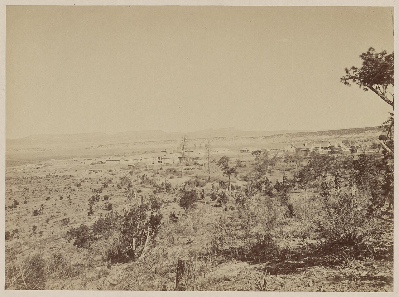
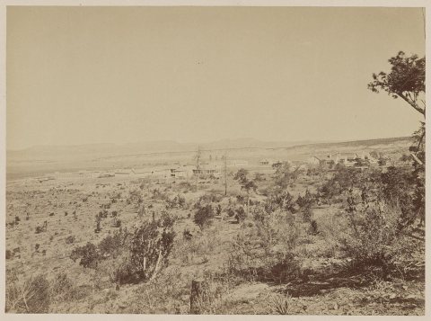 CommonsDistant view of Fort Wingate, New Mexico, 1873 - T. H. O'Su…1873
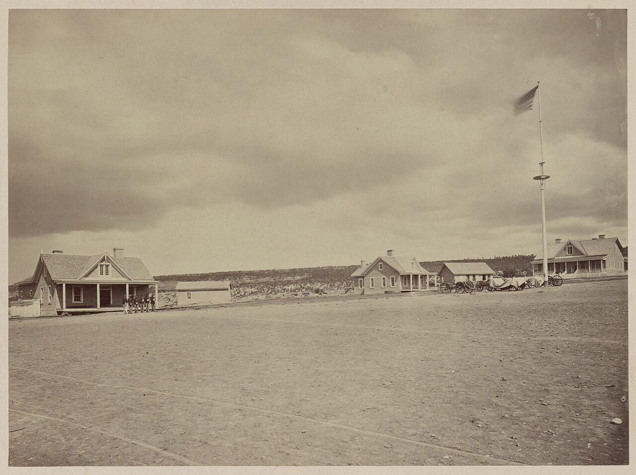
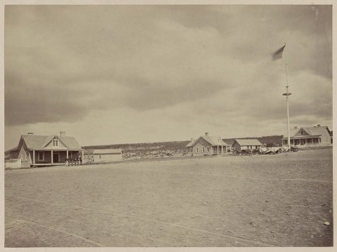 CommonsParade ground at Fort Wingate, 1873 - T. H. O'Sullivan, phot1873
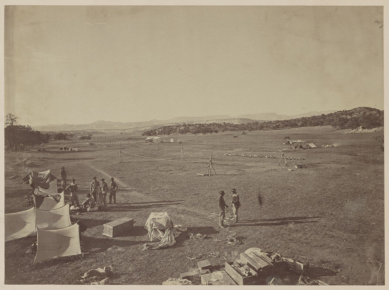
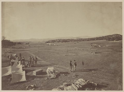 CommonsSurvey camp near Fort Wingate, 1873 - T. H. O'Sullivan, pho…1873
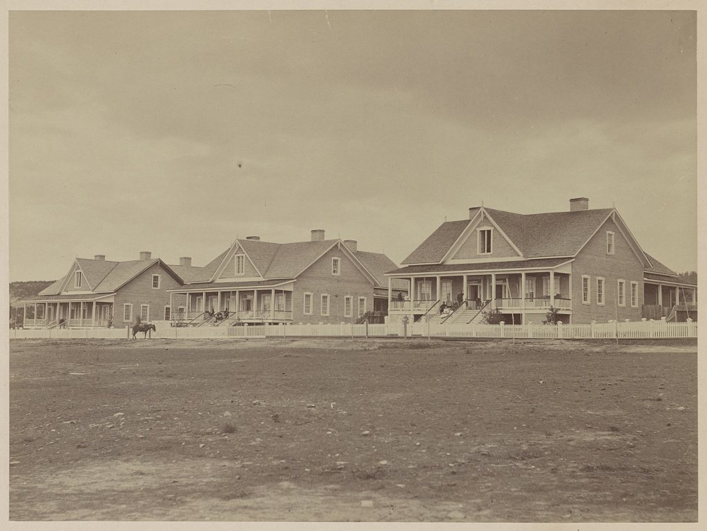
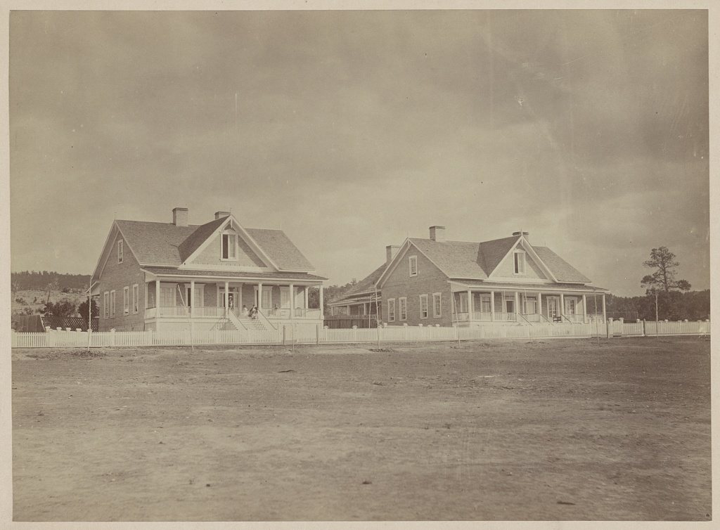
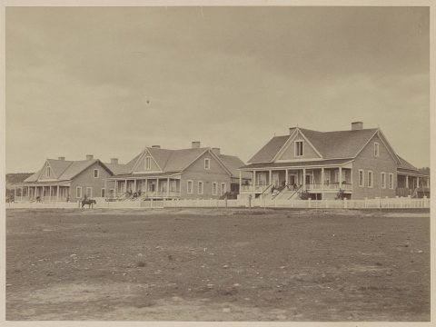 LOCOfficers' quarters1873
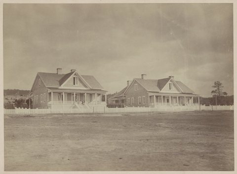 LOCOfficers' quarters1873
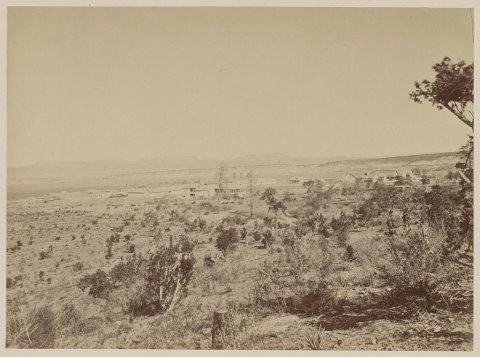 LOCDistant view of Fort Wingate, New Mexico, 18731873
2 historic places in Fort Wingate
Fort Wingate has 2 listings on the National Register, and they protect 29 historic buildings, because Fort Wingate Historic District (Boundary Increase) alone counts 15.
Where they are
When they were listed
 Listed 2026Fort Wingate Historic District (Boundary Increase)Listed 2003Southwestern Range and Sheep Breeding Laboratory Historic District
Then & now
No then-and-now pairs yet. Take a photo from the same spot as Distant view of Fort Wingate, New Mexico, 1873 - T. H. O'Sullivan, photographer (1873) and it appears here side by side.
🔁 Retake this view · +15From Wikimedia Commons (3) and the Library of Congress (3). Images are copied here with their credits and licenses, shown on each photo’s page. Refreshed monthly.