A history of Cochiti,
then and now
Postcards, papers and photographs of Cochiti from public archives, woven together by decade. Neighbors fill in the gaps.
The story
from WikipediaRead it all ↗The Cochiti people are thought to be descended from the Ancestral Puebloans (formerly known as the Anasazi). The ancestors of the Cochiti people, living in cliff dwellings at Rito de los Frijoles in present-day Bandelier National Monument, divided into two groups. One was located in the pueblo of Katishtya (later called San Felipe pueblo) in the south and the other was located in Potrero Viejo, one of the finger mesas of the Pajarito Plateau in northern central New Mexico. Approximately 12 miles northwest of the present-day Cochiti Pueblo, a temporary pueblo known as Hanut Cochiti had been established.
Text from Wikipedia, licensed CC BY-SA 4.0.
Timeline
built from the dates on the items belowFinish Cochiti’s story
Most archives stop around 1920. The photos from after that are in family albums, not libraries.
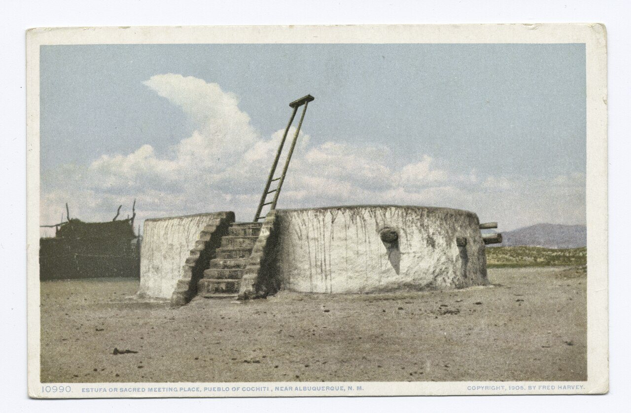
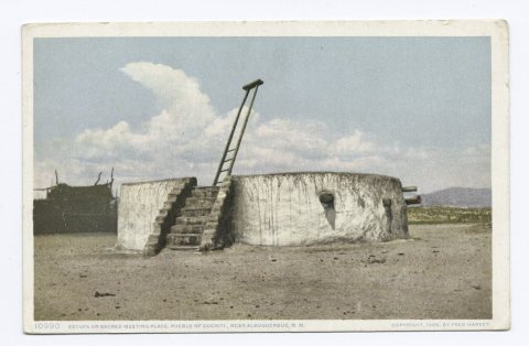
2 of 10 decades since 1900 have photos 🔁Retake an old viewEstufa or Sacred Meeting Place, P…, 1898: stand where they stood+15 📦Share a family photoSign in to add one+10Cochiti, decade by decade
1990s
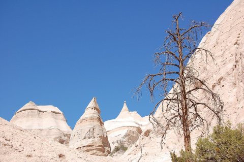
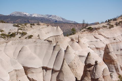
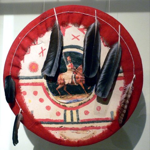
1 historic place in Cochiti
Cochiti has 1 listing on the National Register, and they protect 53 historic buildings, because Cochiti Pueblo alone counts 53.
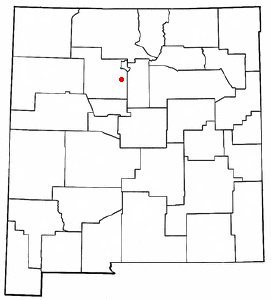
Where they are
When they were listed
Then & now
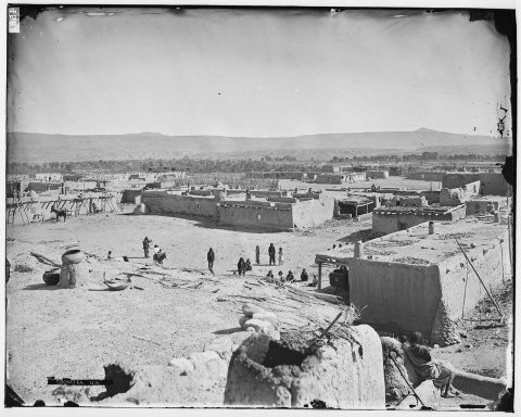
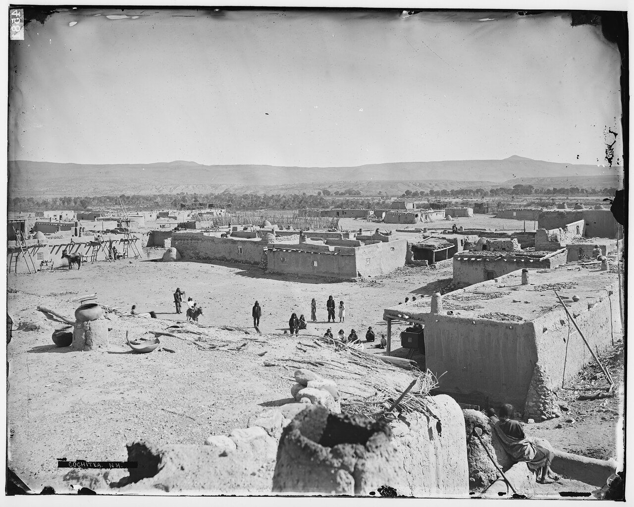
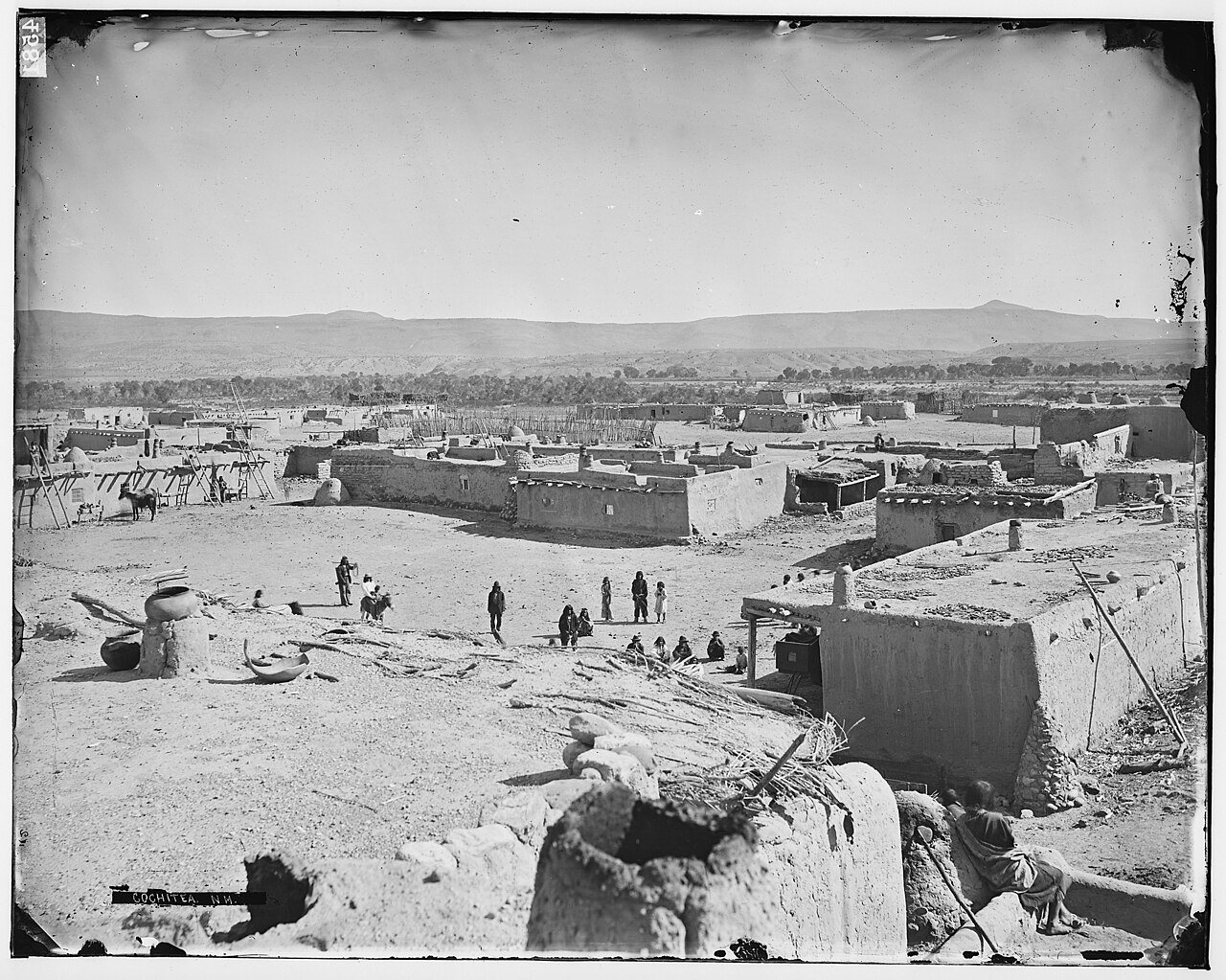
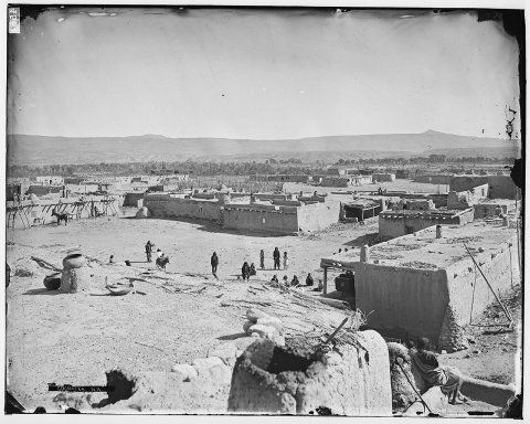
No then-and-now pairs yet. Take a photo from the same spot as Cochitea, New Mexico - DPLA - 85943d46f3a4cafb996e8001b70ea3fd (page 1) (1871) and it appears here side by side.
🔁 Retake this view · +15Stories next door
nearby towns’ historyFrom Wikimedia Commons (12). Images are copied here with their credits and licenses, shown on each photo’s page. Refreshed monthly.