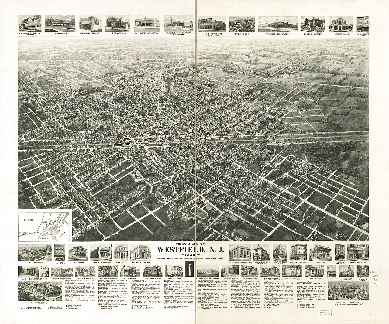
Westfield’s history is
mostly unwritten
The public archives hold only 4 old photos of Westfield. The rest are in attics, shoeboxes and the historical society. Help start the collection.
The story
from WikipediaRead it all ↗Westfield took its name from the rich "fields west of Elizabeth Town, and hence for over one hundred years went by the name of West Fields." Town records say that "the settlement of Westfield dates back to the last year (1699) of the seventeenth century. It was the result of the 'Clinker Lot Division.' Almost immediately after the division emigration from the older parts of the town of Elizabeth began to set towards the interior,—especially to the territory lying between the Rahway river, on the east, and the mountains, on the west. It was not, however, until 1720 that the settlers became numerous enough to constitute a distinct community."
Text from Wikipedia, licensed CC BY-SA 4.0.
Timeline
built from the dates on the items belowStart Westfield’s collection
The first neighbors to add old photos shape how Westfield’s history is told.
2 of 10 decades since 1900 have photos 🔁Retake an old view1950 Census Enumeration District …, 1880: stand where they stood+15 📦Share a family photoSign in to add one+10Famous people from Westfield
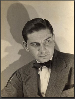
See all 33 →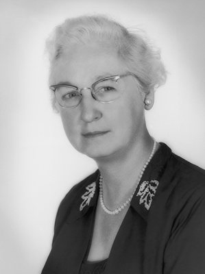

Westfield, decade by decade
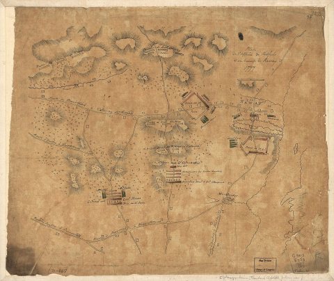
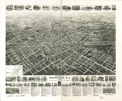
1910s
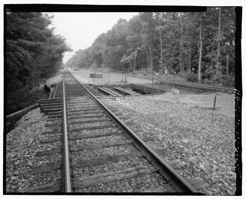
1980s
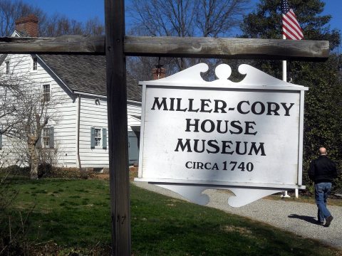
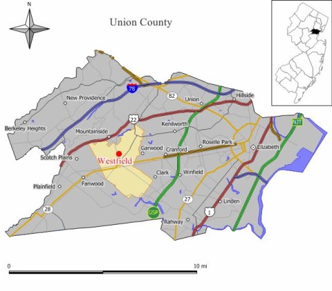
Then & now
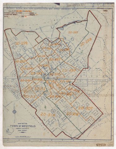
No then-and-now pairs yet. Take a photo from the same spot as 1950 Census Enumeration District Maps - New Jersey (NJ) - Union County - Westfield - ED 20-287 to 314 (1880) and it appears here side by side.
🔁 Retake this view · +15Stories next door
nearby towns’ historyFrom Wikimedia Commons (6). Images are copied here with their credits and licenses, shown on each photo’s page. Refreshed monthly.