The story
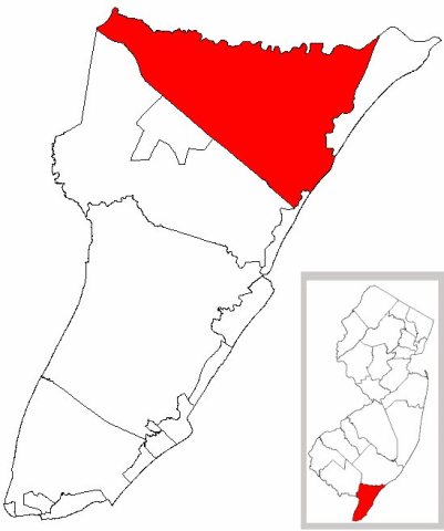
from WikipediaRead it all ↗Upper Township was formed as a precinct on April 2, 1723, and was incorporated as one of New Jersey's initial 104 townships by an act of the New Jersey Legislature on February 21, 1798. Portions of the township have been taken to form Dennis Township (March 1, 1827) and Ocean City borough (March 3, 1884), and territorial changes were made involving Sea Isle City in March and April 1905. The township's name came from its location when Cape May was split into three townships in 1723 at the same time that Lower Township and Middle Township were created.
Text from Wikipedia, licensed CC BY-SA 4.0.
Start Upper’s collection
The first neighbors to add old photos shape how Upper’s history is told.
0 of 10 decades since 1900 have photos 📦Share a family photoSign in to add one+10Upper, decade by decade
2000

Then & now
When neighbors add old photos, retakes from the same spot appear here side by side.
Stories next door
nearby towns’ historyFrom Wikimedia Commons (6). Images are copied here with their credits and licenses, shown on each photo’s page. Refreshed monthly.