Guest, Sign inJoin
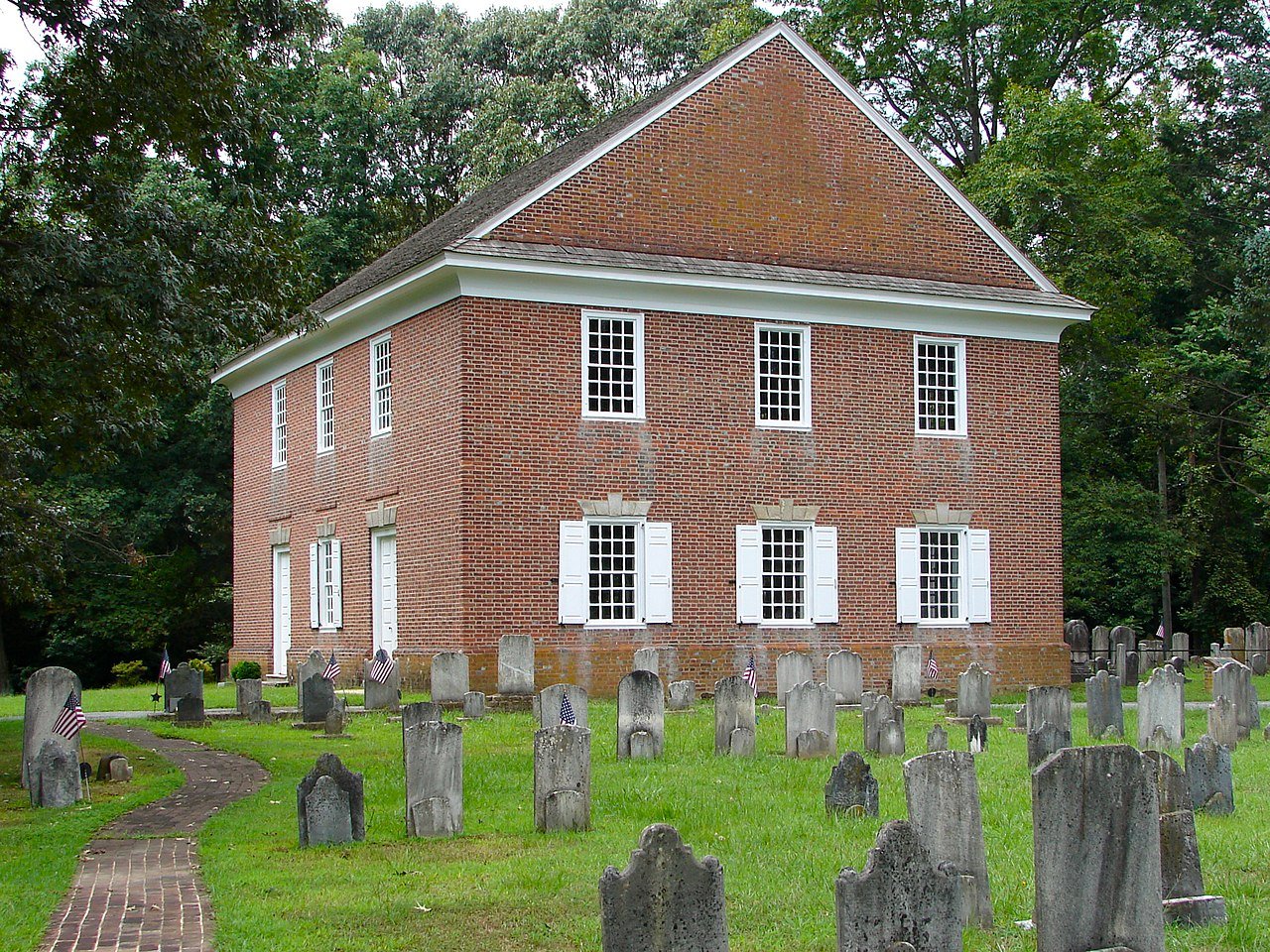
Pittsgrove Presby
New Jersey›Salem County

Upper PittsgroveNJ

A town of 3,466, settled in 1846. Public schools that outperform most of New Jersey.

6 bordering townsMap →
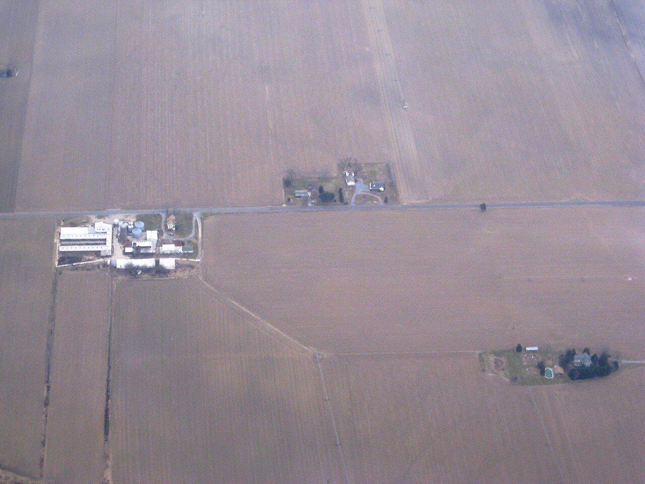
Photo: Smallbones · Public domain
Population
3,466
−2.1% since 2010
Median home value
$258K
Census ACS
Household income
$86K
median
Median age
44.3
years
Jobs based here
902
A commuter town

What makes Upper Pittsgrove stand out

The 3 things Upper Pittsgrove does most differently from other towns.

Picked automatically from the data
A commuter town

91% of working residents leave Upper Pittsgrove for work

Where Upper Pittsgrove’s working residents go each day. Line width shows the share.

6% → Vineland Vineland 6% 5% → Philadelphia Philadelphia 5% 3% → Washington Washington 3% 3% → Pilesgrove Pilesgrove 3% 3% → Harrison Harrison 3% 2% → Cherry Hill Cherry Hill 2% Upper Pittsgrove · 9% stay
902jobs based in Upper Pittsgrove
9%of working residents work in town
16 mimedian commute distance

Census LEHD 2023

Upper Pittsgrove’s report card

See the data ↓

Now in Upper Pittsgrove

Be the first to start the conversation.

Be the first neighbor to joinJoin Upper Pittsgrove →
Residents weigh in
Upper Pittsgrove is #464 of 468 in NJ for “Most walkable”. Fair?
Your answer becomes a post in Upper Pittsgrove’s Town Square.
Start a conversation
70°
Mostly Cloudy
H 70° · L 58°

Local news

All →

Upcoming events

Nothing on the calendar.

The data

Ordered by what stands out in Upper Pittsgrove. Another town gets a different order.

Work & commute

Most working residents commute out of Upper Pittsgrove

Most working residents leave Upper Pittsgrove for work: only 9% work in town. The top destinations are Vineland (6%), Philadelphia (5%) and Washington (3%). Half commute less than 16 miles.

9%work in town

Where working residents work

In Upper Pittsgrove9%
Vineland6%
Philadelphia5%
Washington3%
Pilesgrove3%
16 mi
median commute distance
902
jobs based in Upper Pittsgrove
A commuter town
jobs vs. working residents
Census LEHD 2023 · ACSCommute map →
Schools

Upper Pittsgrove’s public schools outperform 78% of New Jersey districts

The public schools Upper Pittsgrove’s kids attend outperform 78% of New Jersey’s districts on state tests. Among towns with similar incomes, they rank near the top.

A−School Grade
SchoolGradesStudentsGrade
Upper Pittsgrove SchoolPK–8340A−
Creativity CoLaboratory Charter School5–8189B−
Daretown SchoolPK–1228Not graded
NCES · EDFacts · graded within NJ on state testsAll 3 schools →
Natural hazards

Very low risk, with inland flooding at the top

Expected storm and flood damage is higher than in 11% of U.S. communities.

11risk score of 100
FEMA risk score
11Very low riskLowerHigher
Inland floodingDroughtStrong wind
2
paid flood claims since 2011
5
federal disasters paid out here
FEMA National Risk Index · OpenFEMANatural hazards →
Health

Healthier than 67% of U.S. towns

Upper Pittsgrove beats the New Jersey average on 2 of 32 CDC measures and trails it on 7.

B+Health Grade
32 measures vs. New Jersey
2 better23 too close to call7 worse
What stands outUpper PittsgroveNJ
Fewer uninsured adults8.9%11.3%
Fewer adults facing housing insecurity10.5%12.3%
More adults with COPD6.7%5.1%
Inspira Medical Center Mullica Hill
2.3 mi away · emergency room
1 of 3
care shortages: mental health
23rd
percentile among NJ towns
CDC PLACES 2025 · modeled estimates for adults · CMS · HRSAFull health report →
Climate

Four seasons, pleasant summers

Upper Pittsgrove has chilly winters and warm summers. A typical July afternoon reaches 87°, a January night drops to 26°, and about 12 inches of snow falls in a normal winter.

12″snow a winter

Typical low → high °F

Winter27–44°
Spring43–64°
Summer65–85°
Fall48–67°
Nov 1
typical first frost
Apr 10
typical last frost
+1.9°
vs. the 20th-century average
NOAA U.S. Climate Normals, 1991–2020Full climate →
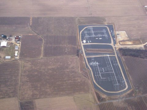
Farm - Baltimore to Philadelphia
2009 · Farm - Baltimore to Philadelphia · Wikimedia Commons
Upper Pittsgrove’s story

180 years in pictures

6 postcards, papers and photographs from public archives, and 1 places on the National Register.

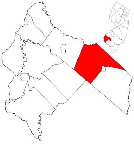
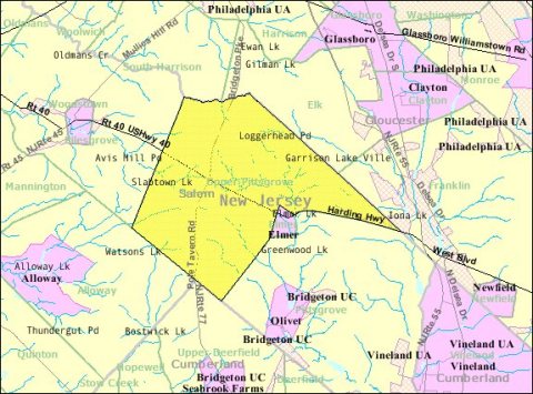
Map of Salem County highlighting Upper Pittsgrove TownshipCensus Bureau map of Upper Pittsgrove Township, New JerseySubstation - Baltimore to Philadelphia
Explore the history →

About Upper Pittsgrove

Township in Salem County, New Jersey, US

Official town website ↗

Upper Pittsgrove Township is a township in Salem County, in the U.S. state of New Jersey. As of the 2020 United States census, the township's population was 3,432, a decrease of 73 (−2.1%) from the 2010 census count of 3,505, which in turn reflected an increase of 37 (+1.1%) from the 3,468 counted in the 2000 census. Upper Pittsgrove Township was incorporated on March 10, 1846, from portions of Pittsgrove Township. Portions of the township were taken on January 28, 1893, to form Elmer. The township was named for Pittsgrove Township, which in turn was named for William Pitt, 1st Earl of Chatham, a supporter of the colonial cause. It is a dry town, where alcohol cannot be sold, as affirmed by…

From Wikipedia, licensed CC BY-SA 4.0 · facts via Wikidata (CC0)

Established
1846
Population
3,432
Area
41 sq mi
Elevation
131 ft
ZIP code
08318

Upper Pittsgrove’s neighbors

6 towns share a border with Upper Pittsgrove.

Explore the map →

More about Upper Pittsgrove

Still missing for Upper Pittsgrove:upcoming events

Post to Upper Pittsgrove

We’ll email a one-tap link to publish your post. No password, and nothing is public until you click it.
Already a member? Sign in
Photo of Upper Pittsgrove

Upper Pittsgrove, NJ · Photo: Smallbones · Public domain · Source ↗