The story
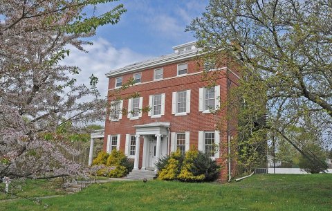
from WikipediaRead it all ↗The earliest colonial settlers concentrated around the White Horse Tavern in the 1740s, around which the small village of White Horse emerged. The only remaining building of this early village is the Stratford Quaker Store.
In the 1880s, the Rural Land Improvement Company began developing the area known as "Old Stratford" and renamed the village after Stratford-upon-Avon, England.
The Borough of Stratford was officially formed on February 13, 1925, from portions of Clementon Township, one of seven municipalities carved from the township.
In the 1960s, Hunt's farm was sold to developers and the Laurel Mill Farms housing development was formed adjacent to the North Branch of Big Timber Creek.
Text from Wikipedia, licensed CC BY-SA 4.0.
Start Stratford’s collection
The first neighbors to add old photos shape how Stratford’s history is told.
0 of 10 decades since 1900 have photos 📦Share a family photoSign in to add one+10Famous people from Stratford
See all 9 →



Stratford, decade by decade
2000
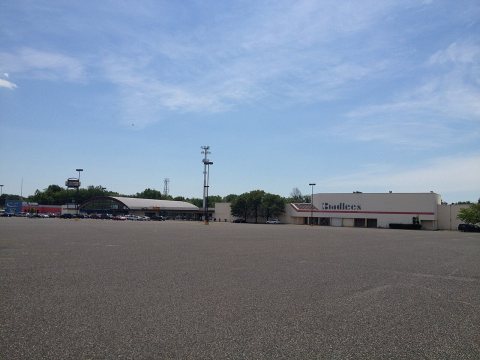
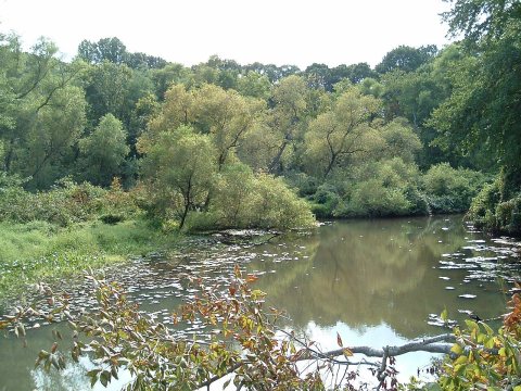
Then & now
When neighbors add old photos, retakes from the same spot appear here side by side.
Historic places
National Register · via Wikidata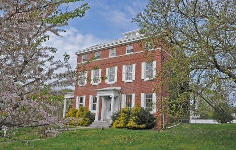
From Wikimedia Commons (5) and the National Register (1). Images are copied here with their credits and licenses, shown on each photo’s page. Refreshed monthly.