A history of Newton,
then and now
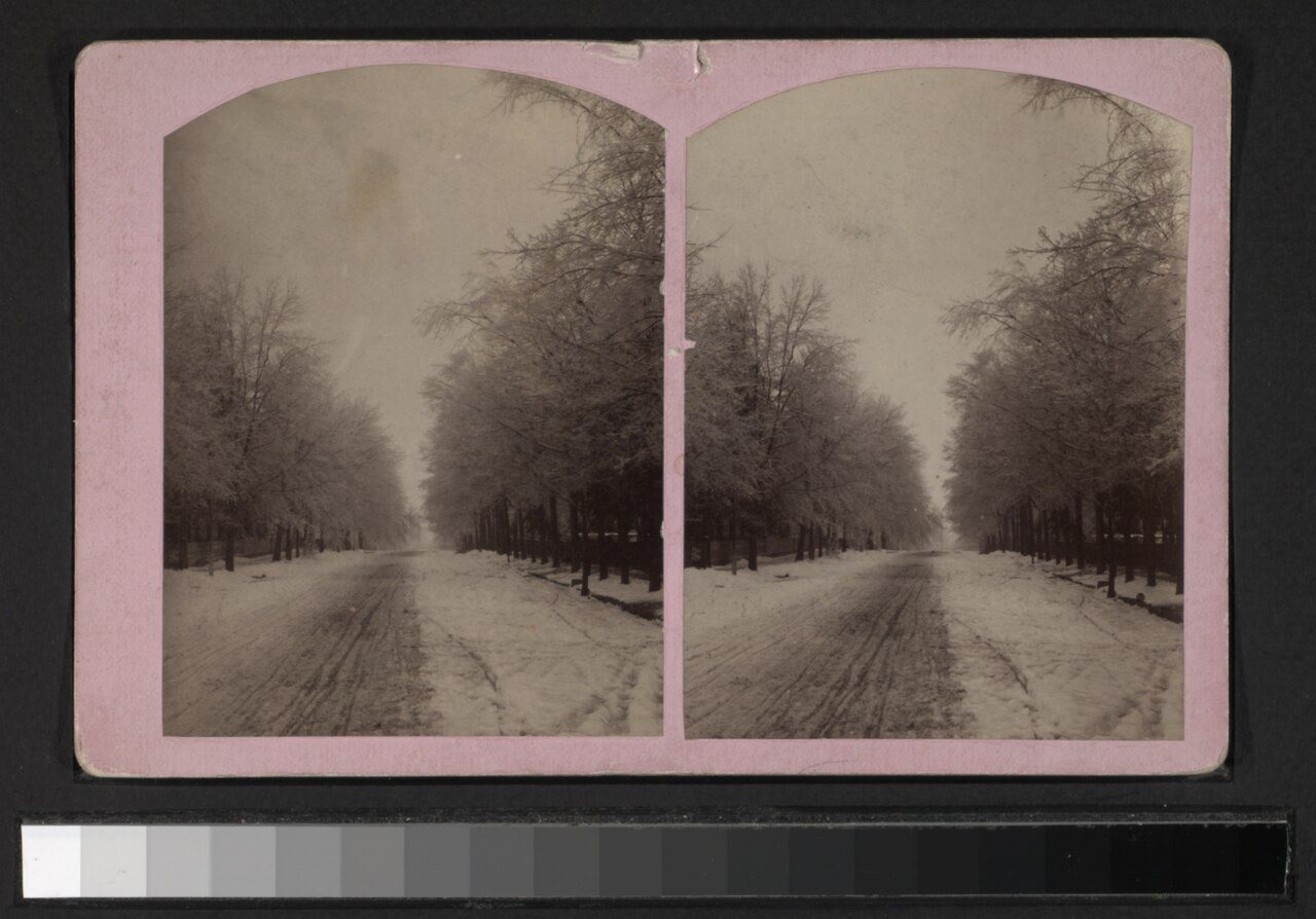
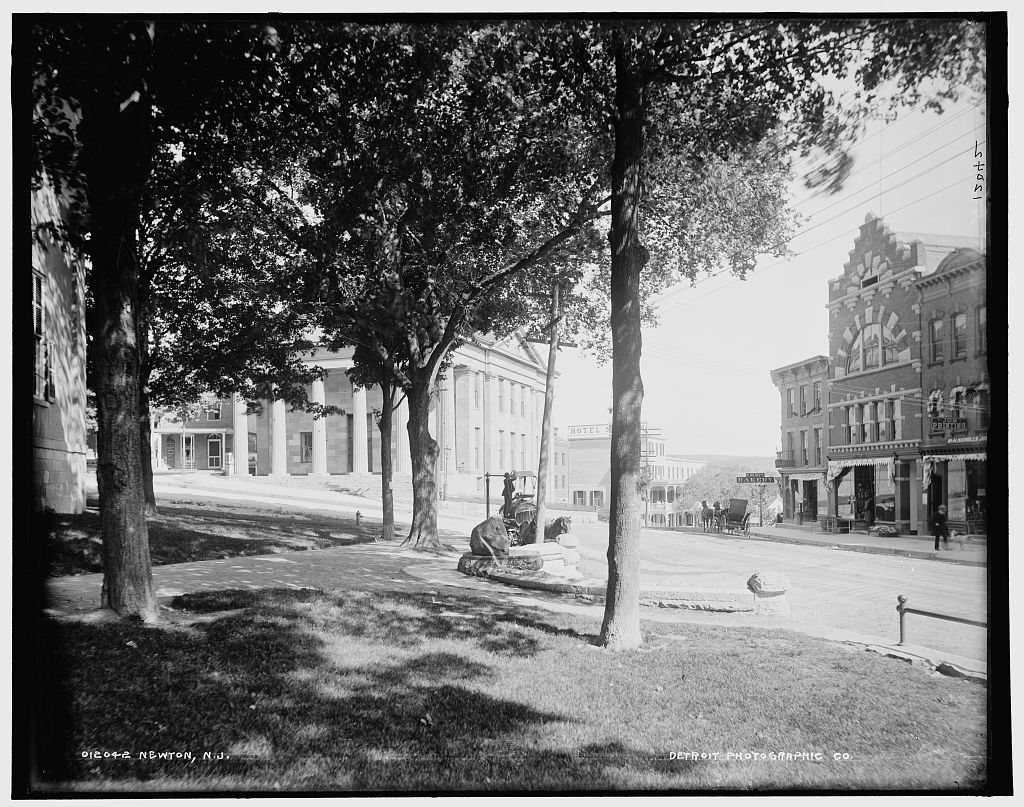
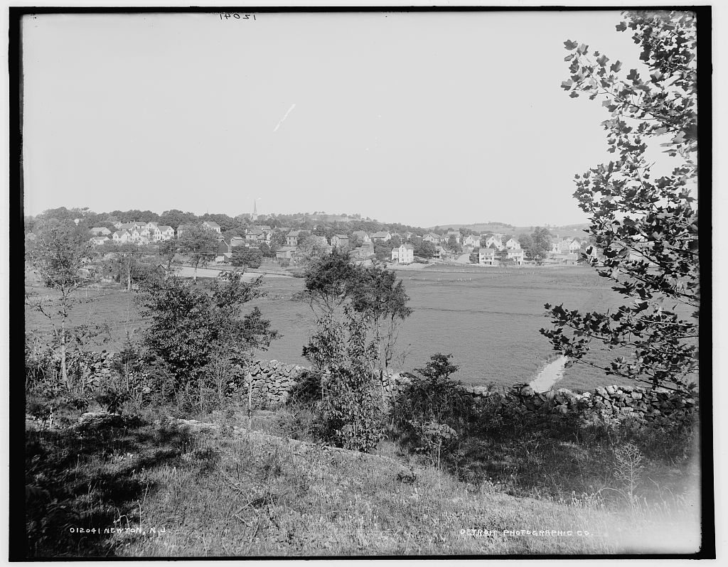
Postcards, papers and photographs of Newton from public archives, woven together by decade. Neighbors fill in the gaps.
The story
from WikipediaRead it all ↗Newton is located near the headwaters of the east branch of the Paulins Kill, a 41.6-mile (66.9 km) tributary of the Delaware River. In October 1715, Colonial surveyor Samuel Green plotted a tract of 2,500 acres (1,000 ha) at the head of the Paulins Kill, then known as the Tohokenetcunck River, on behalf of William Penn. This tract, which would not be settled for approximately 30–35 years, was part of the survey and division of the last acquisition of Native American land by the West Jersey Board of Proprietors. At the time of Green's survey, northwestern New Jersey was populated with bands of the Munsee, the northern branch of the Lenape Native Americans.
Text from Wikipedia, licensed CC BY-SA 4.0.
Timeline
built from the dates on the items belowFinish Newton’s story
Most archives stop around 1920. The photos from after that are in family albums, not libraries.
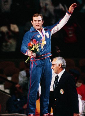
1 of 10 decades since 1900 have photos 🔁Retake an old view1950 Census Enumeration District …, 1880: stand where they stood+15 📦Share a family photoSign in to add one+10Famous people from Newton
See all 21 →
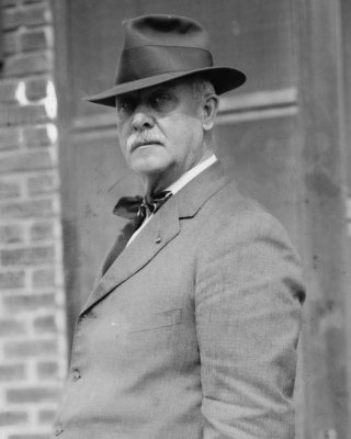
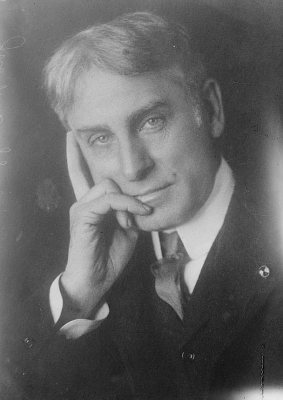
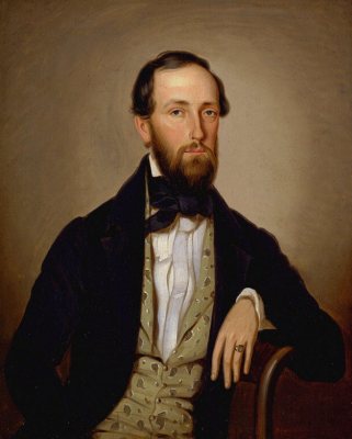

Newton, decade by decade
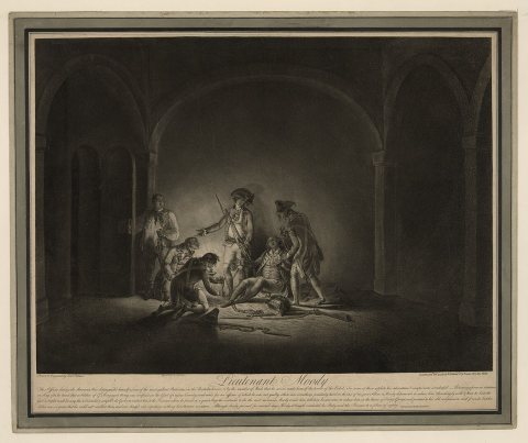
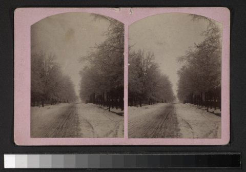
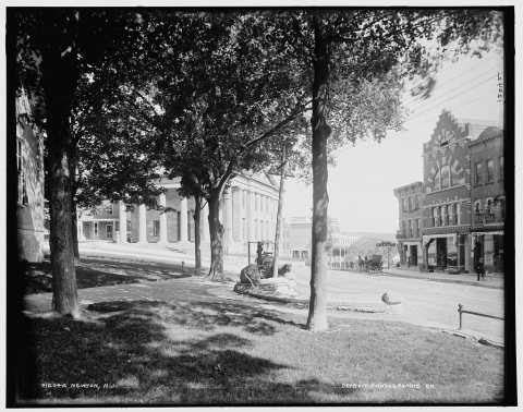
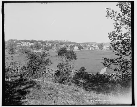
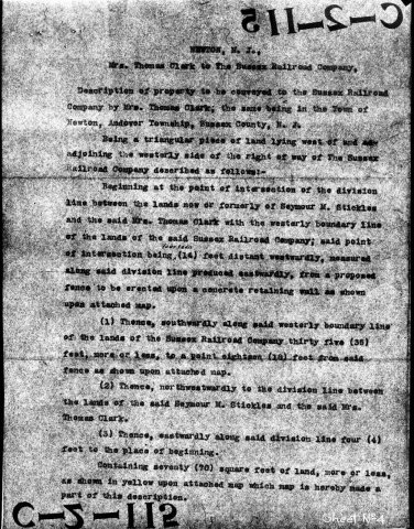
1990s
4 historic places in Newton
Newton has 4 listings on the National Register, and they protect 54 historic buildings, because Newton Town Plot Historic District alone counts 49.
Where they are
When they were listed
 Listed 1970Henry W. Merriam House
 Listed 1979Sussex County Courthouse
 Listed 1985Hill Memorial
 Listed 1992Newton Town Plot Historic District
Then & now
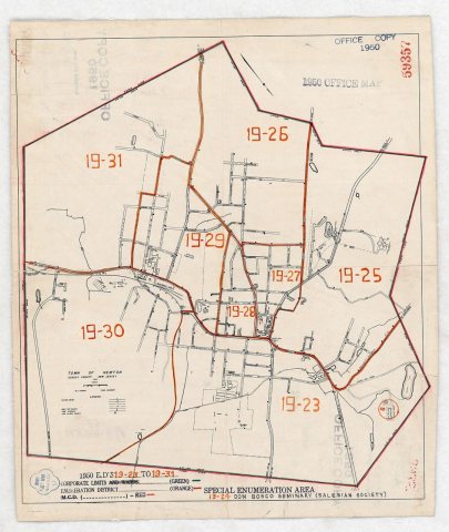
No then-and-now pairs yet. Take a photo from the same spot as 1950 Census Enumeration District Maps - New Jersey (NJ) - Sussex County - Newton - ED 19-23 to 31 (1880) and it appears here side by side.
🔁 Retake this view · +15From Wikimedia Commons (4) and the Library of Congress (2). Images are copied here with their credits and licenses, shown on each photo’s page. Refreshed monthly.