Lawnside’s history is
mostly unwritten
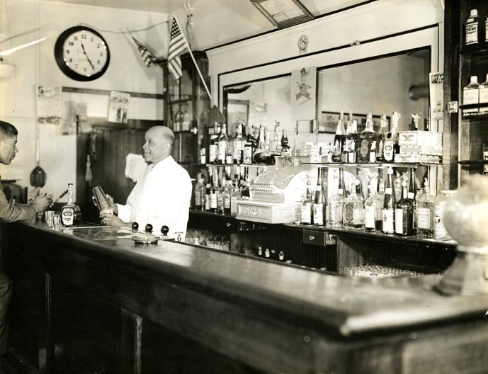
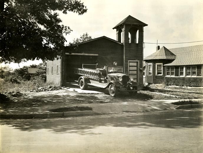
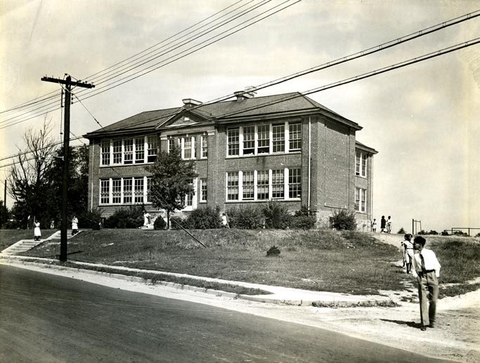
The public archives hold only 3 old photos of Lawnside. The rest are in attics, shoeboxes and the historical society. Help start the collection.
The story
from WikipediaRead it all ↗Lawnside has been home to African Americans since the late 18th century. Methodist gatherings were established by 1797, and in 1811, Bishop Richard Allen of Philadelphia founded the local African Methodist Episcopal Church (AME), which eventually became the Mount Pisgah AME Church today. AME churches were premised on abolition and civil rights, primarily serving former slaves and their descendants. Additionally, freedmen often sought safety and support by concentrating near Quaker allies, which in the case of Lawnside was the Haddonfield Quaker Society of Friends, with support from the Gloucester County Abolition Society and Vigilant Association of Philadelphia. In 1840, these latter abolitionists further advanced the settlement by purchasing land to convert into inexpensive lots for sale to African Americans. The original name of this community, Free Haven, was due to its crucial role …
Text from Wikipedia, licensed CC BY-SA 4.0.
Timeline
built from the dates on the items belowStart Lawnside’s collection
The first neighbors to add old photos shape how Lawnside’s history is told.
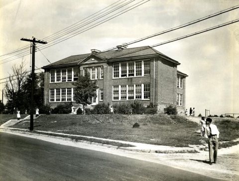
1 of 10 decades since 1900 have photos 🔁Retake an old viewFWPNW026Lawnside756B, c. 1940: stand where they stood+15 📦Share a family photoSign in to add one+10Lawnside, decade by decade
1990s
Then & now
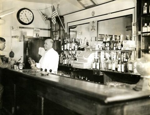
No then-and-now pairs yet. Take a photo from the same spot as FWPNW026Lawnside756B (c. 1940) and it appears here side by side.
🔁 Retake this view · +15Stories next door
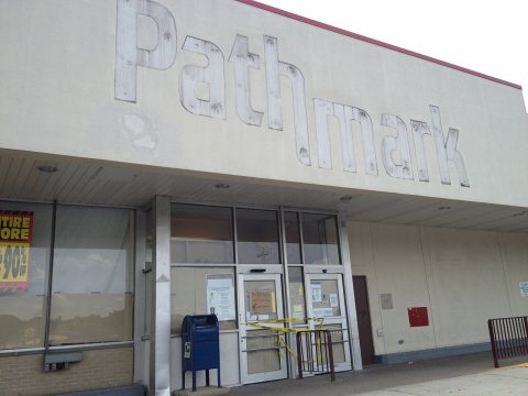
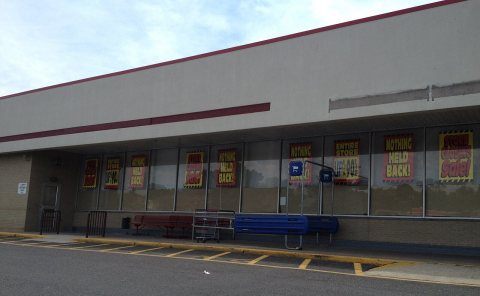
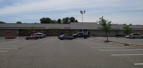
nearby towns’ historyFrom Wikimedia Commons (6). Images are copied here with their credits and licenses, shown on each photo’s page. Refreshed monthly.