The story
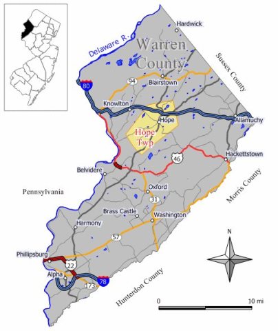
from WikipediaRead it all ↗Hope Township is one of the earliest planned communities in the United States, having been established by German Moravians in 1769. Early planning maps detail planned locations of streets, homes, wells, businesses, farms, a school, tavern, and church.
Prior to the arrival of the Moravians, there was no distinct town, but several families farmed on Jenny Jump Mountain, to the south of Hope, in surrounding area and on John Samuel Green Jr.'s farm in the center of what is now the Village. Throughout the 1760s, Moravians from Bethlehem, Pennsylvania traveled through this area on their way to New England to establish new communities. They lodged overnight with the Green Family who were impressed with their religion and way of life.
Text from Wikipedia, licensed CC BY-SA 4.0.
Start Hope’s collection
The first neighbors to add old photos shape how Hope’s history is told.
0 of 10 decades since 1900 have photos 📦Share a family photoSign in to add one+10Hope, decade by decade
2000
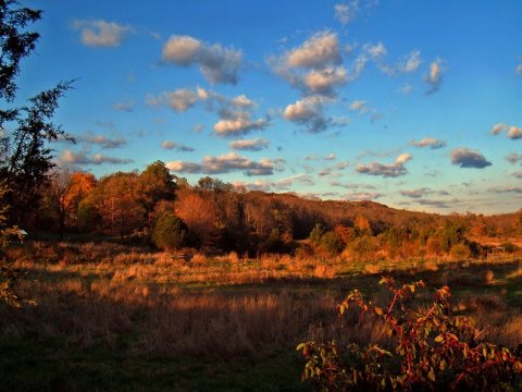
Then & now
When neighbors add old photos, retakes from the same spot appear here side by side.
Historic places
National Register · via Wikidata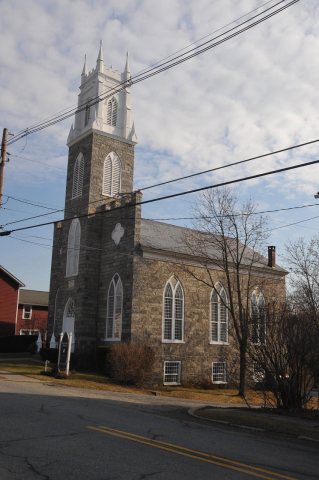
From Wikimedia Commons (5) and the National Register (1). Images are copied here with their credits and licenses, shown on each photo’s page. Refreshed monthly.