Manchester,
since 1722
Postcards, papers and photographs of Manchester from public archives, woven together by decade. Neighbors fill in the gaps.
The story
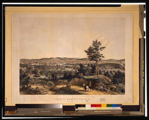
from WikipediaRead it all ↗The native Pennacook people called Amoskeag Falls on the Merrimack River—the area that became the heart of Manchester—Namaoskeag, meaning "good fishing place". In 1722, John Goffe III settled beside Cohas Brook, later building a dam and sawmill at what was dubbed "Old Harry's Town". It was granted by Massachusetts in 1727 as "Tyngstown" to veterans of Queen Anne's War who served in 1703 under Captain William Tyng. But at New Hampshire's 1741 separation from Massachusetts, the grant was ruled invalid and substituted with Wilton, Maine, resulting in a 1751 rechartering by Governor Benning Wentworth as "Derryfield"—a name that lives on in Derryfield Park, Derryfield Country Club, and the private Derryfield School.
Text from Wikipedia, licensed CC BY-SA 4.0.
Timeline
built from the dates on the items belowFinish Manchester’s story
Most archives stop around 1920. The photos from after that are in family albums, not libraries.
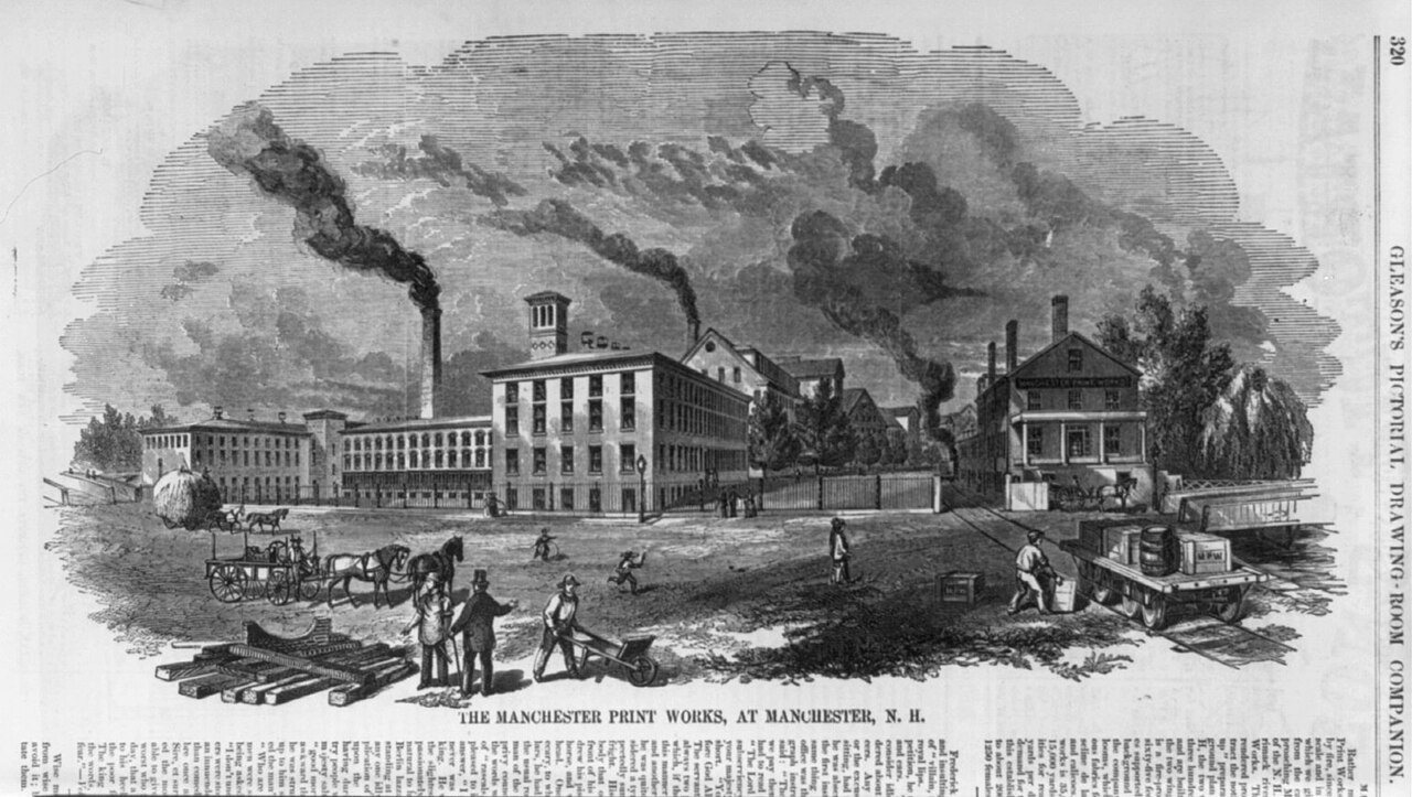
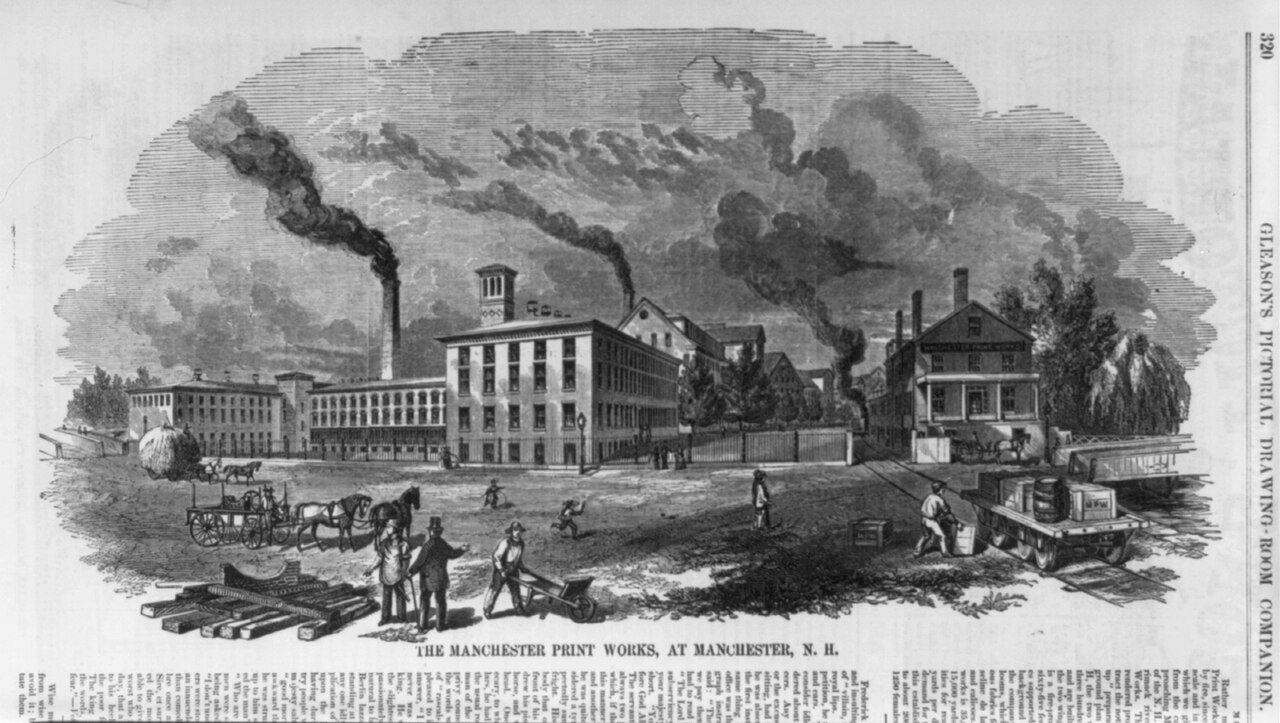
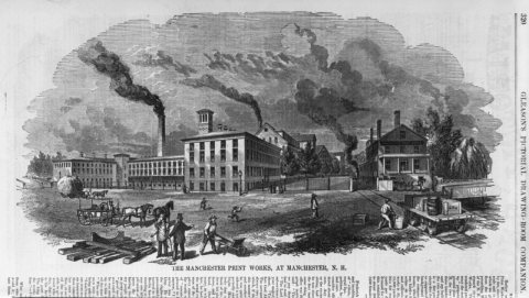
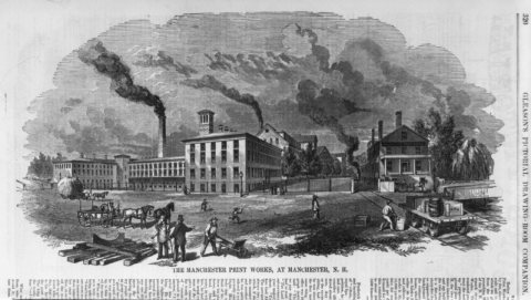
0 of 10 decades since 1900 have photos 🔁Retake an old viewThe Manchester Print Works, at, 1854: stand where they stood+15 📦Share a family photoSign in to add one+10Manchester, decade by decade
Then & now
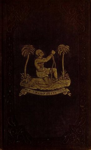
No then-and-now pairs yet. Take a photo from the same spot as Wilson Armistead - A tribute for the Negro, une de couverture "Am I Not a Man and a Brother", 1848 (1848) and it appears here side by side.
🔁 Retake this view · +15Stories next door
nearby towns’ historyFrom Wikimedia Commons (6). Images are copied here with their credits and licenses, shown on each photo’s page. Refreshed monthly.